Ship condensation trails over the Eastern North Pacfic Ocean
McIDAS images of GOES-11 0.65 µm visible channel data (above; click image to play animation) showed a number of well-defined ship condensation trails (or “ship tracks”) propagating southward within the marine boundary layer stratocumulus cloud field over the eastern North Pacific Ocean on 31 March 2011.
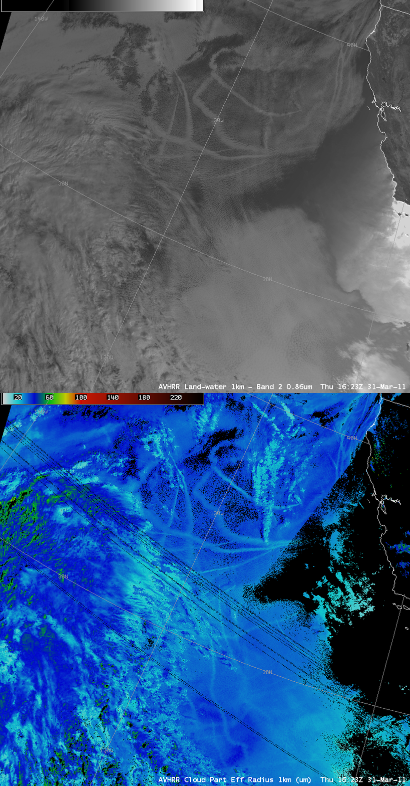
A comparison of AWIPS images of 1-km resolution POES AVHRR 0.86 µm visible channel data and the corresponding 1-km resolution POES AVHRR Cloud Particle Effective Radius product (below) revealed that the ship tracks were composed of slightly smaller particles (lighter cyan color enhancement) than the surrounding stratocumulus clouds that they were embedded within. Note that many of the ship tracks could not be seen on the visible image within the more overcast stratocumulus cloud deck that covered the southern portion of the image — but their detection was possible using the Cloud Particle Effective Radius product.
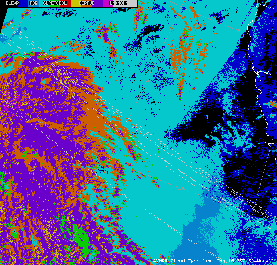
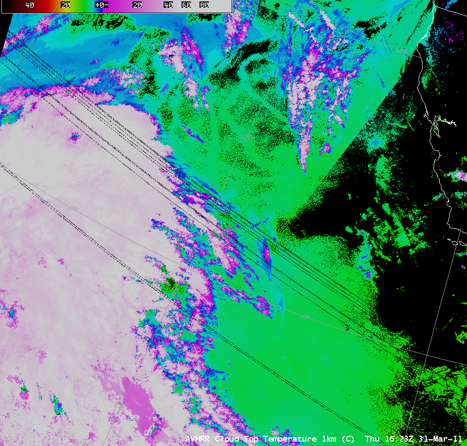
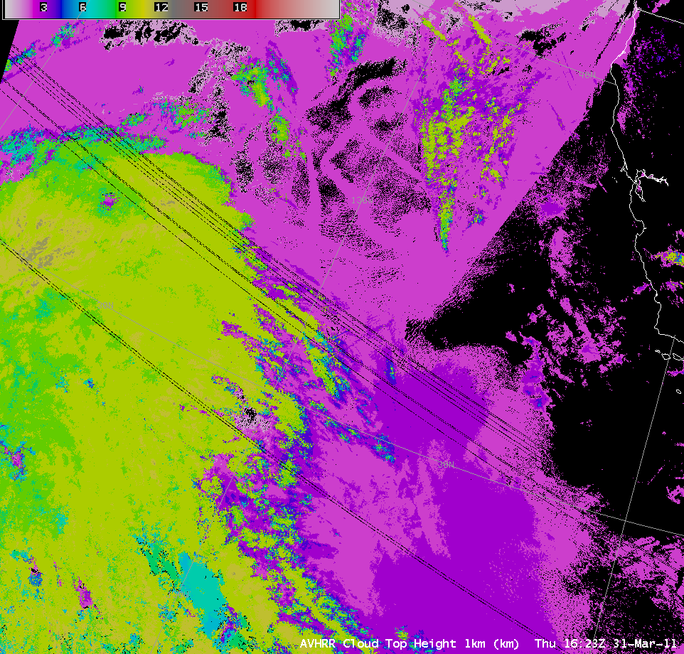
As can be seen below, the ship track features did not show up very well in 1-km resolution images of the POES AVHRR Cloud Type product (showing liquid type clouds, cyan color enhancement), the Cloud Top Temperature product (showing temperatures around +10º C, green color enhancement), or the Cloud Top Height product (showing cloud tops around 2-3 km, purple color enhancement).
CIMSS participation in GOES-R Proving Ground activities includes making a variety of POES AVHRR images and products available for National Weather Service offices to add to their local AWIPS workstations.


