Subtropical Storm “Ariani” off the coast of Brazil
Subtropical Storm “Ariani” developed off the southeast coast of Brazil on 15 March 2011. GOES-12 0.65 µm visible channel images (above; click image to play animation) displayed a number of overshooting tops within the large cloud shield of the disturbance. Some hints of a cyclonic (clockwise in the Southern Hemisphere) circulation could be seen both within the southern flank of the cloud shield, and also just to the southwest of the cloud shield over the open water.
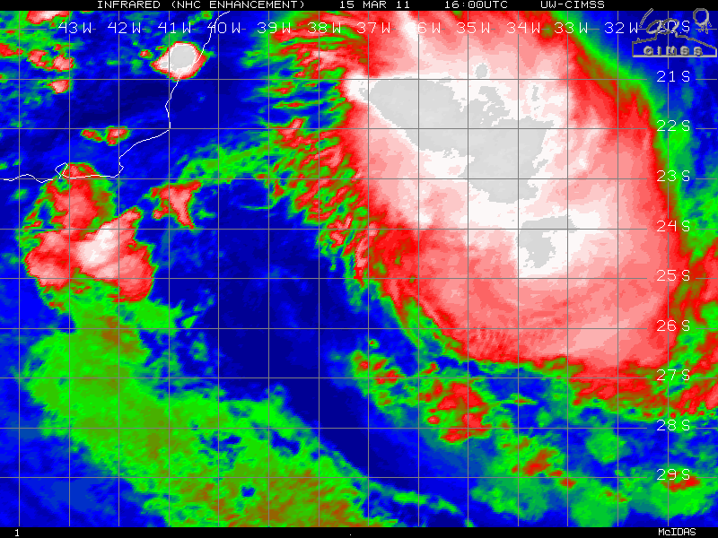
GOES-13 10.7 µm IR images from the CIMSS Tropical Cyclones site (below; click image to play animation) showed a broad area of old cloud tops associated with this feature.
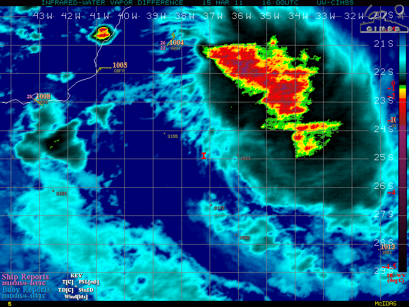
A GOES-13Â IR/Water Vapor difference product (below; click image to play animation) did indicate that there was a large area of overshooting tops (red to violet color enhanced areas). For more information on this product and its application to tropical cyclone intensity analysis, see Olander and Velden, 2009.


