Power plant plumes within a supercooled cloud layer over Wisconsin

5-minute GOES-19 Nighttime Microphysics RGB + daytime True Color RGB images, from 0901-1801 U11TC on 02 December [click to play MP4 animation]
The GOES-19 Cloud Top Phase derived product (below) confirmed that the cloud layer across the region was predominantly Supercooled (light green). The power plant plumes were classified as Uncertain (black).

5-minute GOES-19 Cloud Top Phase derived product, from 0806-1801 UTC on 02 December [click to play MP4 animation]

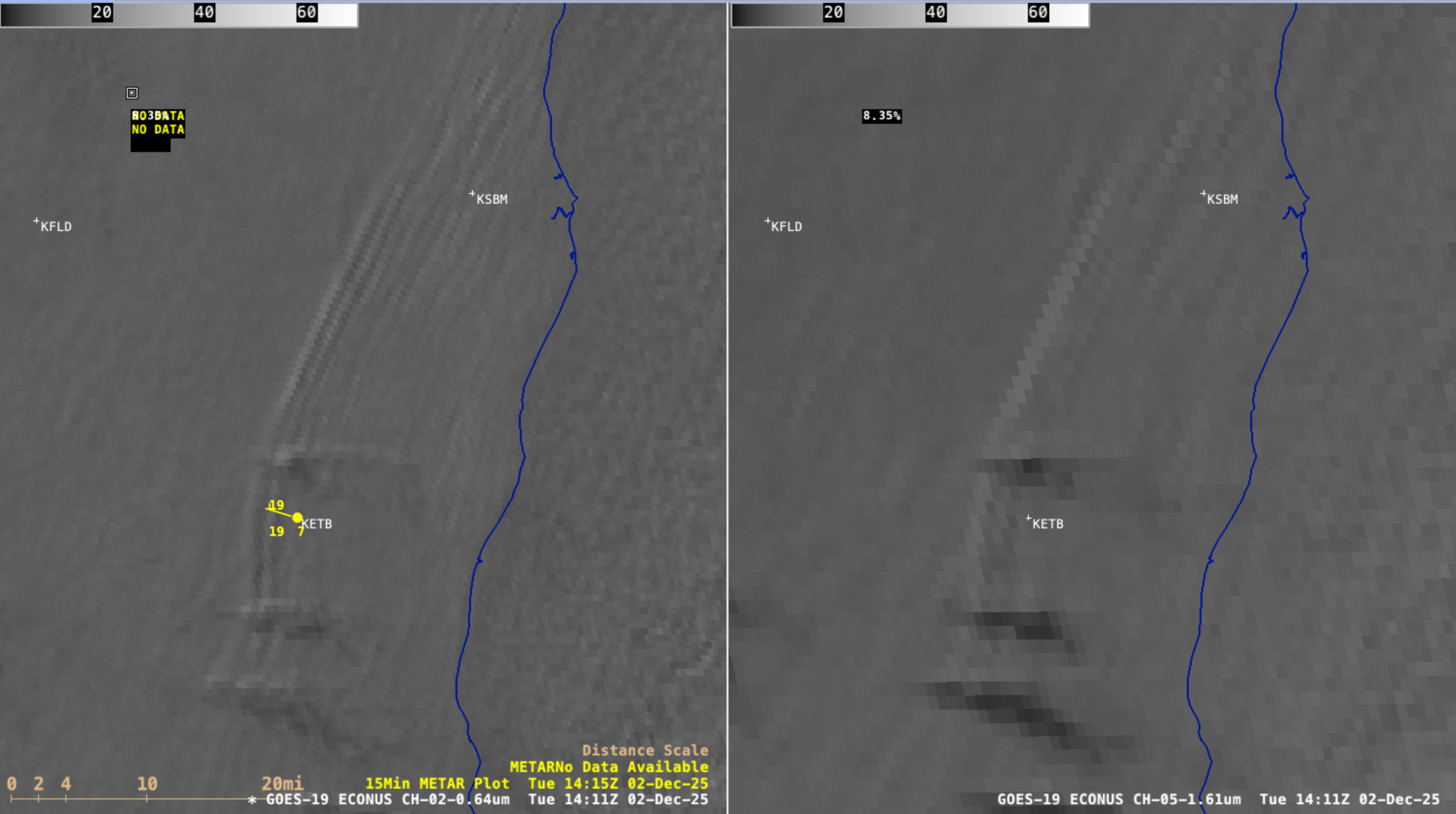
5-minute GOES-19 Night Fog BTD (10.3-3.9 µm) + daytime Near-Infrared “Snow/Ice” (1.61 µm) images, with/without plots of METAR surface reports, from 0901-1801 UTC on 02 December [click to play MP4 animation]
________________
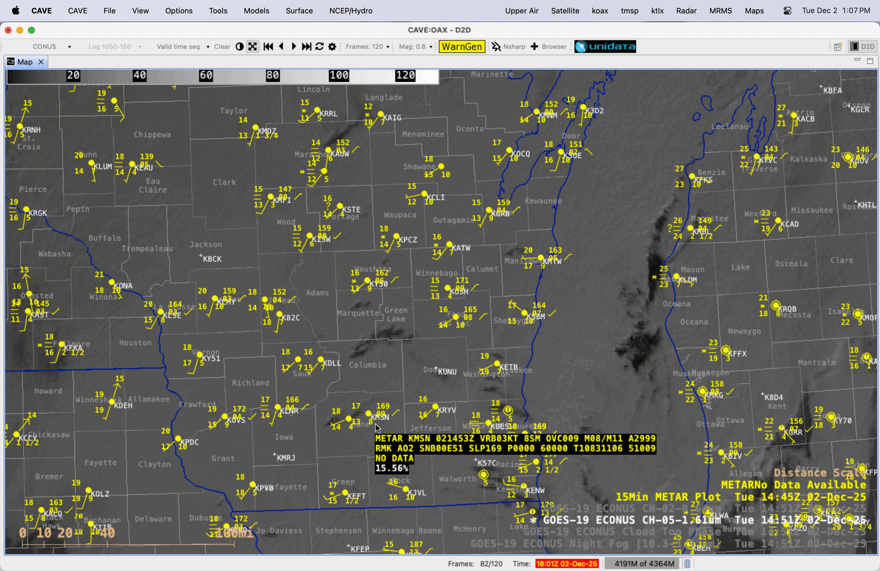
GOES-19 Near-Infrared “Snow/Ice” image at 1451 UTC on 02 December, with/without a cursor sample of the 1453 UTC Madison WI (KMSN) METAR surface report [click to enlarge]
3 hours later, KMSN was reporting light snow with a visibility of 3 statute miles as the same power plant plume was passing near/over the airport (below) — while the visibility at Middleton was 2-1/2 statute miles (where it was also likely snowing). During the 1400-1900 UTC (0800-1300 CST) time period, intermittent reductions in visibility due to light snow were apparent in UW-AOS rooftop cameras facing north and northwest.

GOES-19 Near-Infrared “Snow/Ice” image at 1751 UTC on 02 December, with/without a cursor sample of the 1753 UTC Madison WI (KMSN) METAR surface report [click to enlarge]

Suomi-NPP VIIRS True Color RGB and False Color RGB images valid at 1820 UTC on 02 December — with plots of surface observations and either county outlines or labels [click to enlarge]
________________
In northern Wisconsin, during the overnight hours a large power plant plume in Marathon County — likely the Weston Power Plant, located south of Wausau — was producing enough light snow to reduce the visibility to 1 mile at Wausau (KAUW), as seen in the GOES-19 0901 UTC Night Fog BTD image (below).

GOES-19 Night Fog BTD image at 0901 UTC on 02 December, with a red box highlighting the Wausau WI (KAUW) METAR surface observation [click to enlarge]

GOES-19 Night Fog BTD and NOAA-21 VIIRS Day/Night Band (0.7 µm) images at 0806 UTC on 02 December [click to enlarge]

GOES-19 Night Fog BTD and Suomi-NPP VIIRS Day/Night Band (0.7 µm) images at 0836 UTC on 02 December [click to enlarge]

GOES-19 Near-Infrared “Snow/Ice” image at 1536 UTC on 02 December, with/without a cursor sample of the 1535 UTC Antigo WI (KAIG) METAR surface report [click to enlarge]
_________________
5-minute GOES-19 “Red” Visible images (0.64 µm, left) and Near-Infrared “Snow/Ice” images (1.61 µm, right), from 1316-1601 UTC on 02 December [click to play MP4 animation]
A plot of rawinsonde data from nearby Green Bay, Wisconsin at 1800 UTC (below) showed a pronounced temperature inversion from 948-900 hPa (1038-2058 ft) — within which the bore was likely being ducted as it propagated westward.
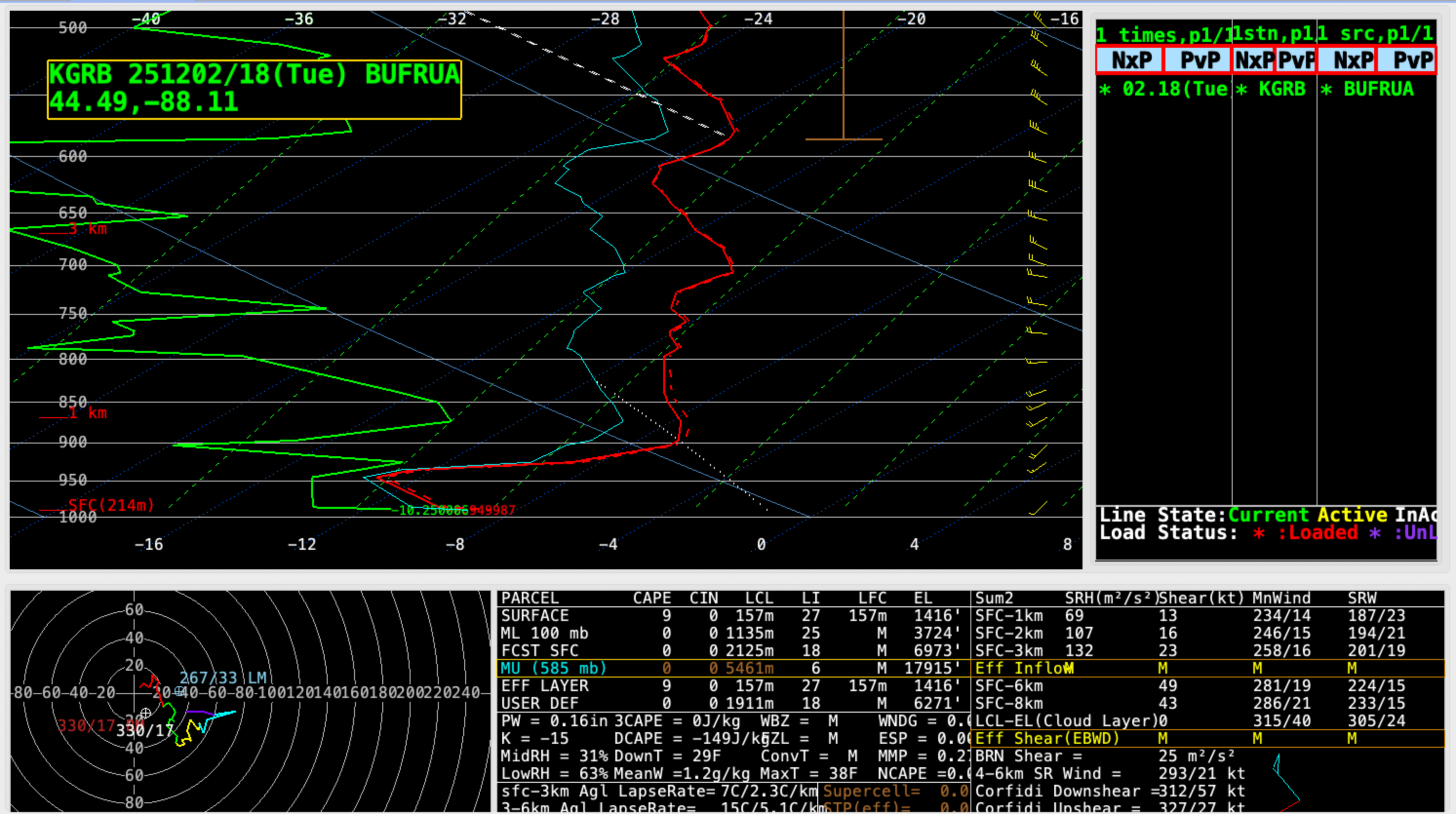
Plot of rawinsonde data from Green Bay, Wisconsin at 1800 UTC on 02 December [click to enlarge]