Hurricane Igor intensifies to a Category 2 storm
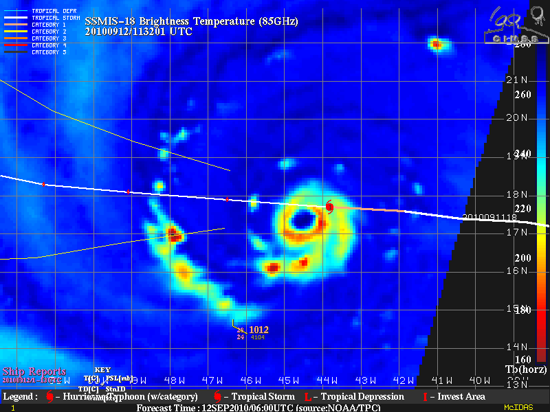
An SSMI/S 85 GHz microwave brightness temperature image from the CIMSS Tropical Cyclones site (above) displayed a well-defined eyewall structure associated with Hurricane Igor ar 11:32 UTC on 12 September 2010.
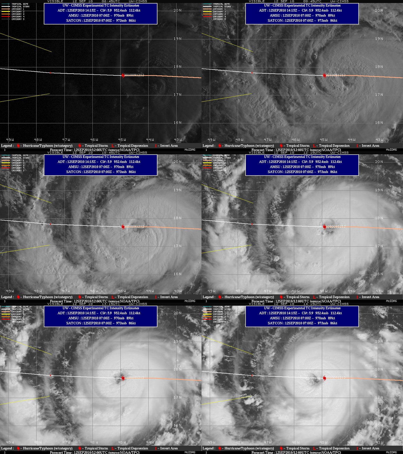
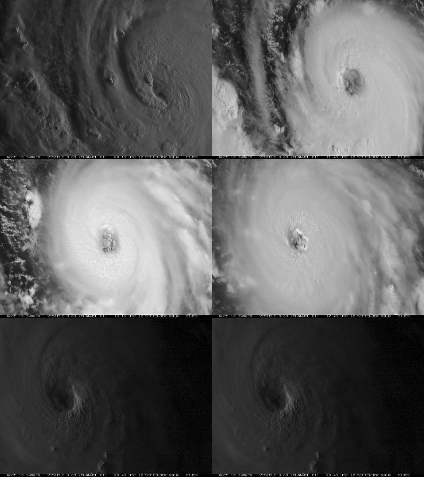
GOES-13 1-km resolution 0.63 µm visible channel images (below) showed an improving appearance to the eye of Igor during the morning hours.
========== UPDATE ==========
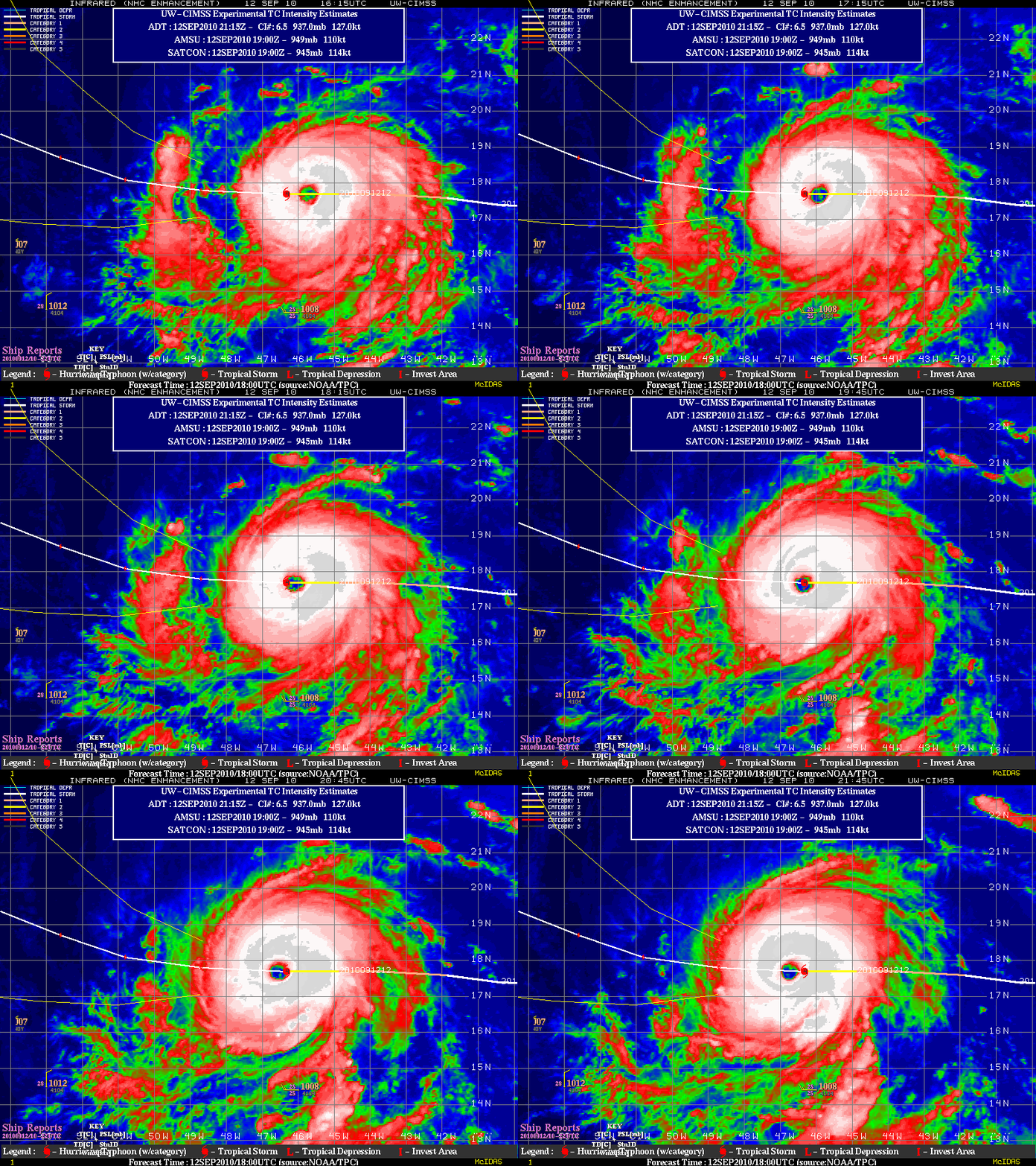
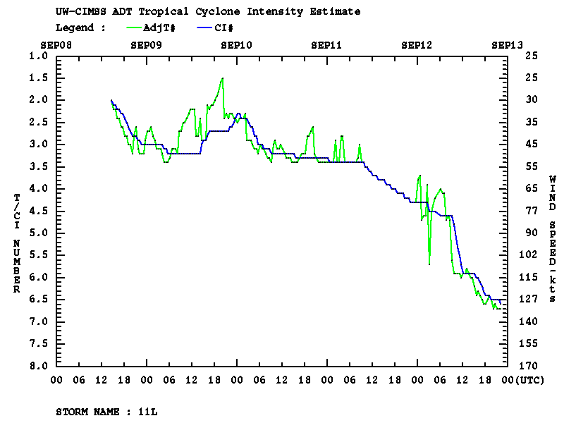
Igor rapidly intensified into a Category 4 hurricane later in the day. GOES-13 4-km resolution 10.7 µm IR images (above) displayed a well-defined eye, while a plot of the CIMSS Advanced Dvorak Technique (below) showed the trend of rapid intensification.
1-km resolution GOES-13 0.63 µm visible channel images (below) showed a fairly nice eye structure during the daytime hours.


