Igor forms in the far eastern Atlantic

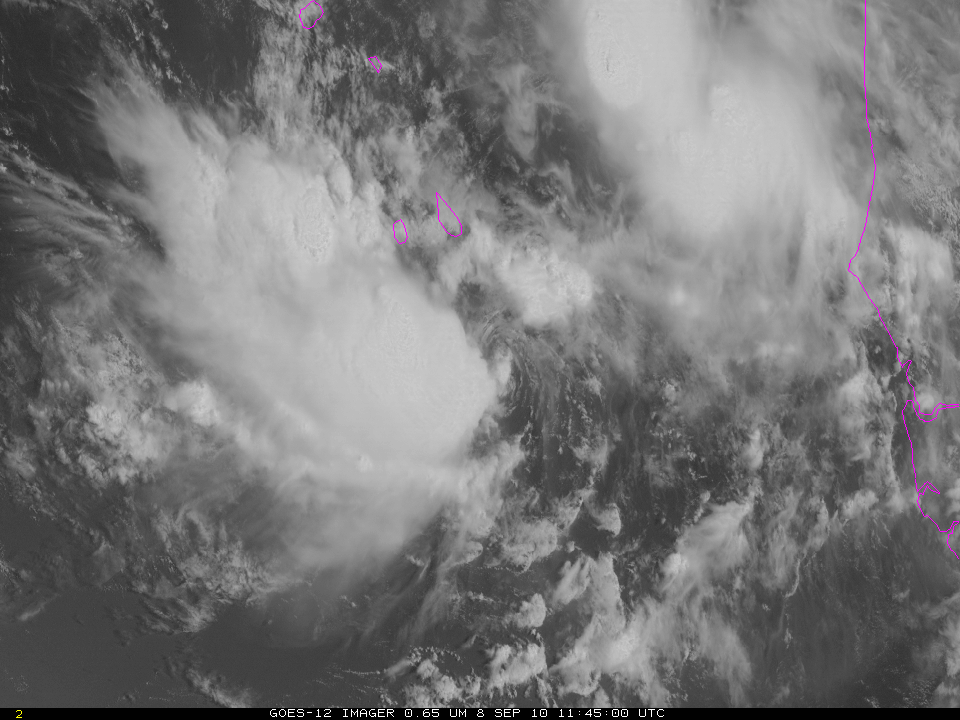
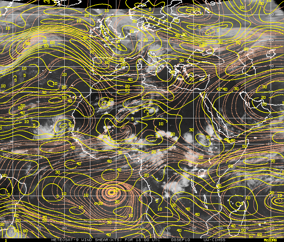
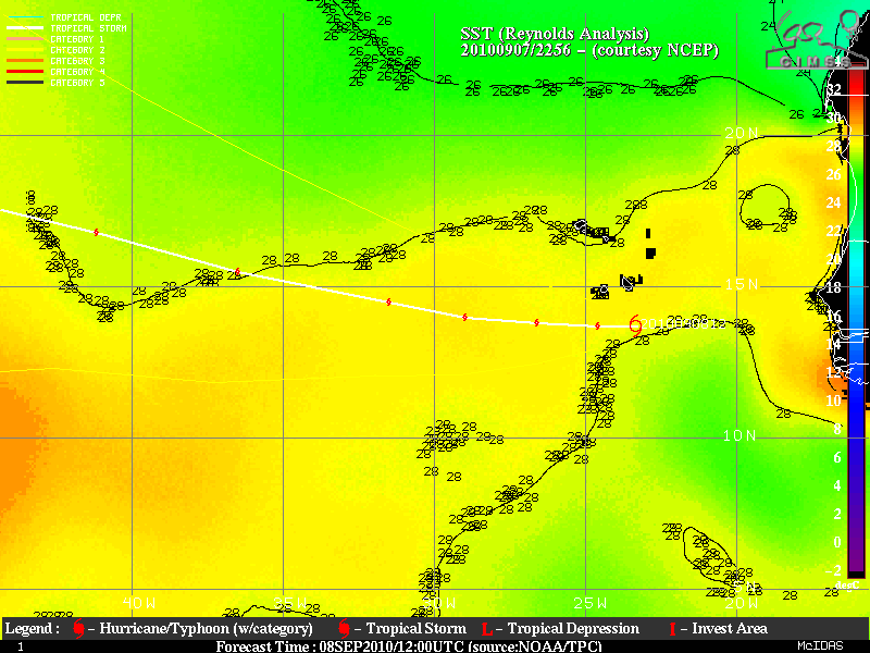
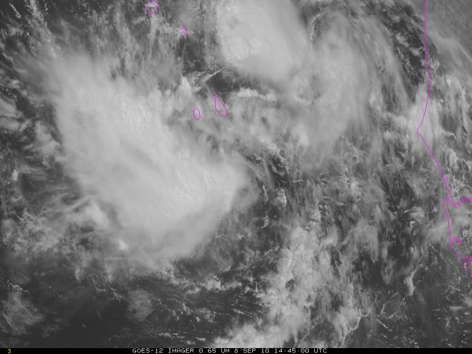
Tropical Storm Igor has formed in the far eastern Atlantic, just south of the Cape Verde Islands. GOES-12 imagery from today (above) shows a sheared system with persistent and abundant convection southwest of a low-level swirl of clouds. (That low-level swirl is most evident in the 1145 UTC image). Igor formed just north of a region of significant shear (shown here) and the shear may slow intensification of the storm.
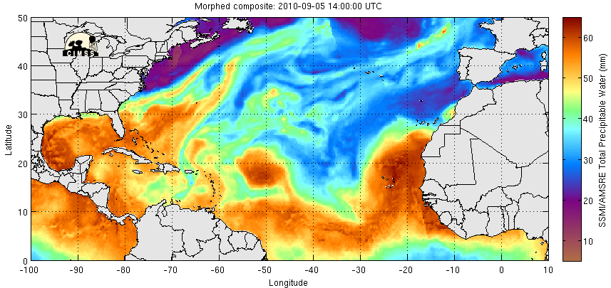
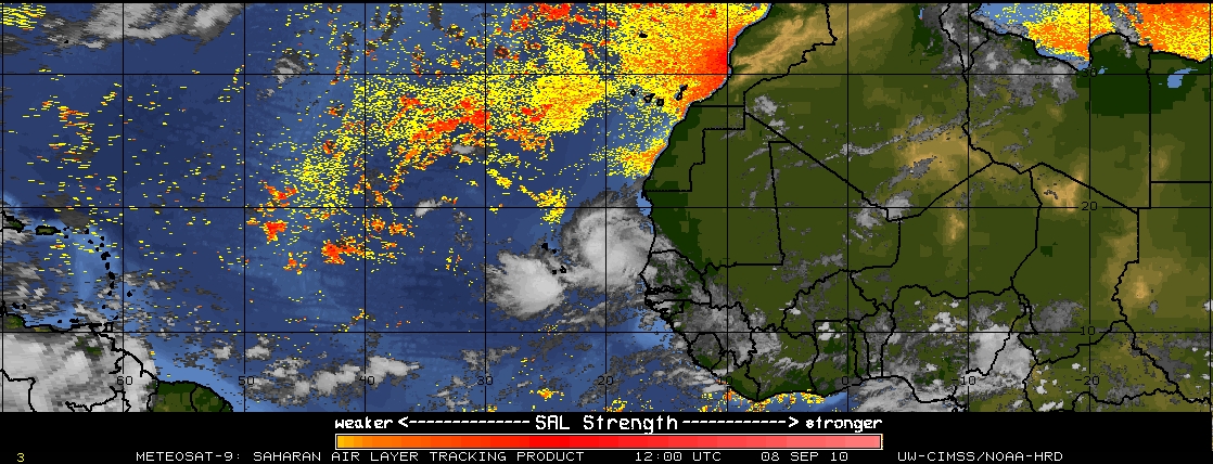
Other environmental factors favor strengthening. For example, MIMIC total precipitable water (from this website) shows abundant moisture surrounding the developing storm. An analysis of the Saharan Air Layer shows little signal in the region of the storm. Igor’s forecast path is over warm water. Forecasts from the National Hurricane Center suggest slow strengthening as the system moves westward across the tropical Atlantic.
For more information on Igor, visit the CIMSS Tropical Weather Website and the National Hurricane Center Website.
(Added: Click here for views centered on Igor from GOES-12, GOES-13 and GOES-15, satellites over the Equator at 60 W, 75 W and 89 W, respectively)