Cyclone Nargis
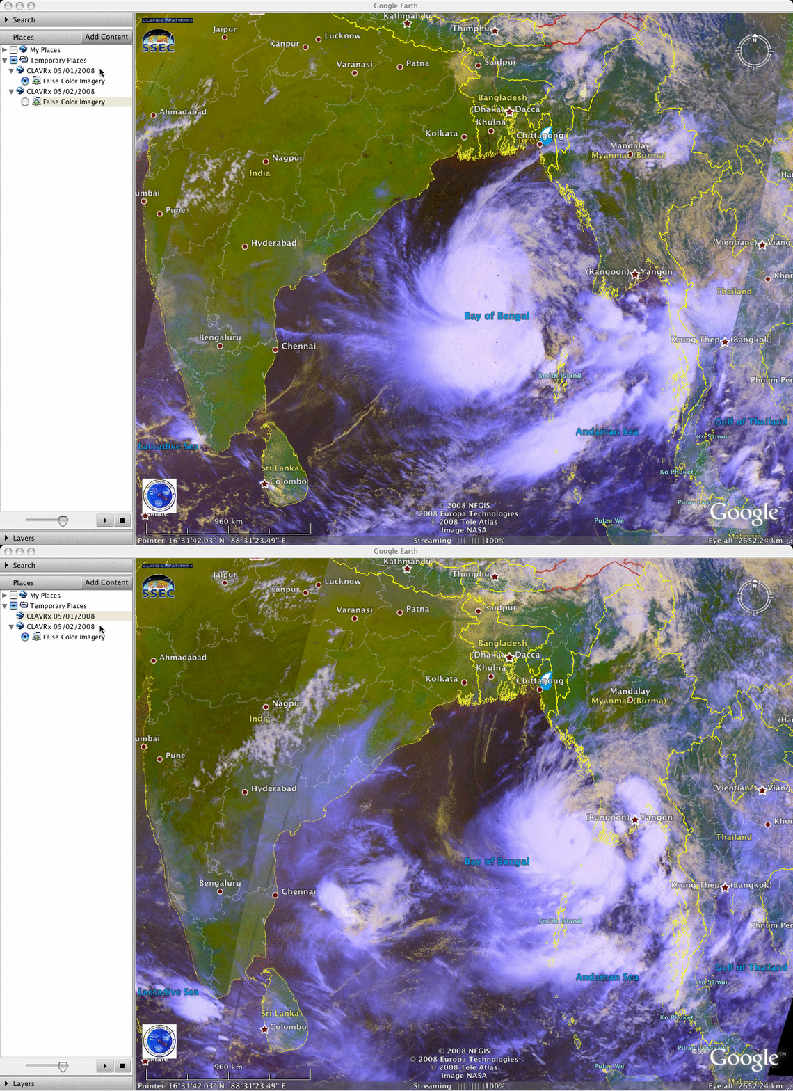
Category 4 intensity Cyclone Nargis made landfall across southern Myanmar (formerly known as Burma) late in the day on 02 May 2008, packing maximum winds around 135 mph (60 m s-1), producing a storm surge of 12 feet (3.6 meters), and dumping nearly 20 inches (51 cm) of rainfall. According to media reports, the estimated death toll from this powerful tropical cyclone ranges from 22,000 to nearly 100,000. AVHRR false color images from 01 and 02 May (above, viewed using Google Earth) showed Cyclone Nargis in the Bay of Bengal, moving eastward toward Myanmar.
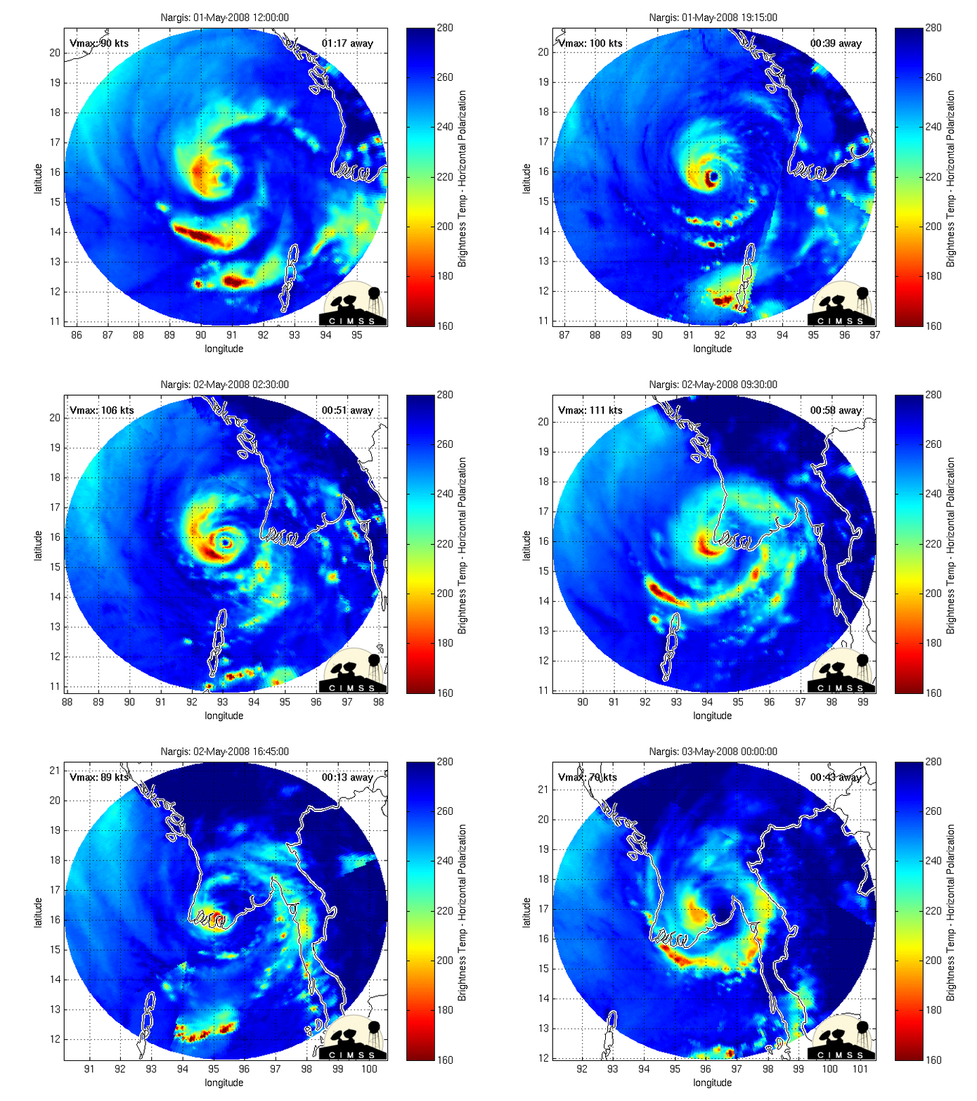
An animation of the Morphed Integrated Microwave Imagery at CIMSS (MIMIC) product (below) revealed evidence of a double eyewall, suggesting that Cyclone Nargis was going through an eyewall replacement cycle just prior to and near the time of landfall.


