The Evolution of a Wisconsin Winter
Spring has clearly sprung in the blog’s home base of Madison, Wisconsin, in the upper midwestern United States, with air temperatures and the activity of both animals (like migratory birds) and people (like joggers) showing that the winter of 2024-2025 is no more. The memories of the cold, icy conditions of just a few weeks ago are slowly receding into the past.
Perhaps the most identifiable and important characteristic of Madison is its position within the chain of lakes along the Yahara River. These glacial lakes, remnants of the last great ice age 15000 years ago, dominate the culture and activity of the community. The central city and the state capitol are built on the isthmus between the two largest lakes, Mendota and Monona, while numerous parks, terraces, and civic structures dot the shores. The study of limnology (the science of inland bodies of water) had many of its formative developments at the University of Wisconsin–Madison, and today Lake Mendota (at 39 square miles or 101 square km) is considered the most scientifically studied lake in the entire world.
Satellites enable us to monitor how the city and its lakes were impacted by the winter. The Wisconsin State Climatology office maintains a list of lake freezing and thawing dates that stretches back continuously to the 1850s. This year, the office noted two distinct stretches of freezing for Lake Mendota, one from 25 to 27 December, and another from 7 January to 15 March. Through the combination of the very-high resolution observations from the Sentinel-2 series of surface-observing satellites and the coarser but more temporally frequent observations from the VIIRS instruments aboard the SNPP series of satellites, it’s possible to monitor how these vital freshwater ecosystems evolved over the course of the winter.


Compare these two images taken exactly one month apart (8 November vs. 8 December). One challenging aspect of working with Sentinel-2 data is that the very high spatial resolution comes at the expense of swath width, so overpasses of a particular location only occur every few days, and if there are clouds in the way at the time there’s nothing to be done but wait until the next opportunity. Still, this provides us an important view of the evolution of the lake ice. On 1 November, the lakes are entirely ice free, but freezing is clearly starting to occur in the bays, inlets, and shores. Still, the lakes are largely ice free.

What a difference five days make! It’s now 13 December and smaller and shallower lakes are frozen while ice continues to build along the edges of the larger lakes. There’s even some evidence of ice structures starting to develop in the middle of Mendota and Monona as well. Given the constant cloudiness of the upper midwest during winter, it is a while until the next clear sky view, but one finally arrives in mid-January.

This view, from 17 January, depicts a somewhat unusual sight for Madison: frozen lakes but no surrounding snow. It was usually cold enough for snow to fall, it was just an unusually dry winter. Data from the Wisconsin State Climatology Office show that less than half the normal snowfall up to that point in the winter had actually fallen, with approximately half of the total snowfall up to that point occurring on a single day, 19 December. Remember, the lakes had thawed after 27 December, so whatever snow had fallen during that event had long since melted before this overpass.

A satellite view from approximately one month after the previous one, however, shows that things have changed immensely. Madison was blanketed with 3.6 inches of snow on the 12 February and received another 3.4 inches as a Valentine’s Day present on the 14th. This stunning view from 21 February shows the contrast between the urban texture of the city of Madison and its suburbs, the featureless snow cover of the lakes, and the relatively flat terrain of the agricultural regions to the northeast and northwest.

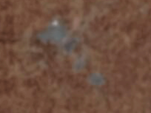
This next view, on 8 March, shows the interesting phenomenon where there’s fresh snow on the ice but not on the land. Ice has a much higher specific heat capacity than soil, meaning that applying the same amount of energy to an equal mass of ice and soil will cause the soil to experience a much larger temperature increase. When 1.2 inches of snow fell on 5 March and another 0.4 inches fell on 7 March, the city and surrounding countryside was enough to melt this snow as it fell. However, the lakes were cold enough to prevent the snow that fell on them to melt. The resulting image shows stark white lakes set against the typical early-spring coloration of urban and rural Wisconsin. However, looking closely at this image shows that the lakes are already starting to melt: there are regions where open water is clearly visible.

Just a few days later, on 13 March, the melting has accelerated. The snow is gone from the ice while the the ice itself has clearly thinned. It won’t be long now before the lakes resume their liquid phase entirely. Smaller lakes like Lake Wingra (due south of Lake Mendota) had snow cover in the previous image but are now clearly water. And in fact, this final view from earlier this week (on 25 March) confirms the melt to be complete:

VIIRS can also be used to look at the evolution of the lakes over the course of the winter. The spatial resolution is not as fine as on Sentinel-2, but the wider swaths ensure daily coverage. The VIIRS Today site operated by SSEC allows for quicklooks of VIIRS overpasses. These images were used to create an animation of the Madison-area lakes from 1 March to 20 March 2025 as seen from VIIRS on NOAA-20. Thanks to a remarkably cloud-free stretch of early March, the evolution of the ice cover is easy to follow.
Here, you can see that at the start of March the lakes were still ice covered, that they emerged with a fresh cover of snow after clouds passed overhead, and that they rapidly melted over the course of just a few days. It’s an annual cycle of life in Madison, and while the ice fishers and skaters may be disappointed that they have to put away their hobbies for several months, the canoers and sailors cannot wait to get back out on the water.