Early morning rumblers
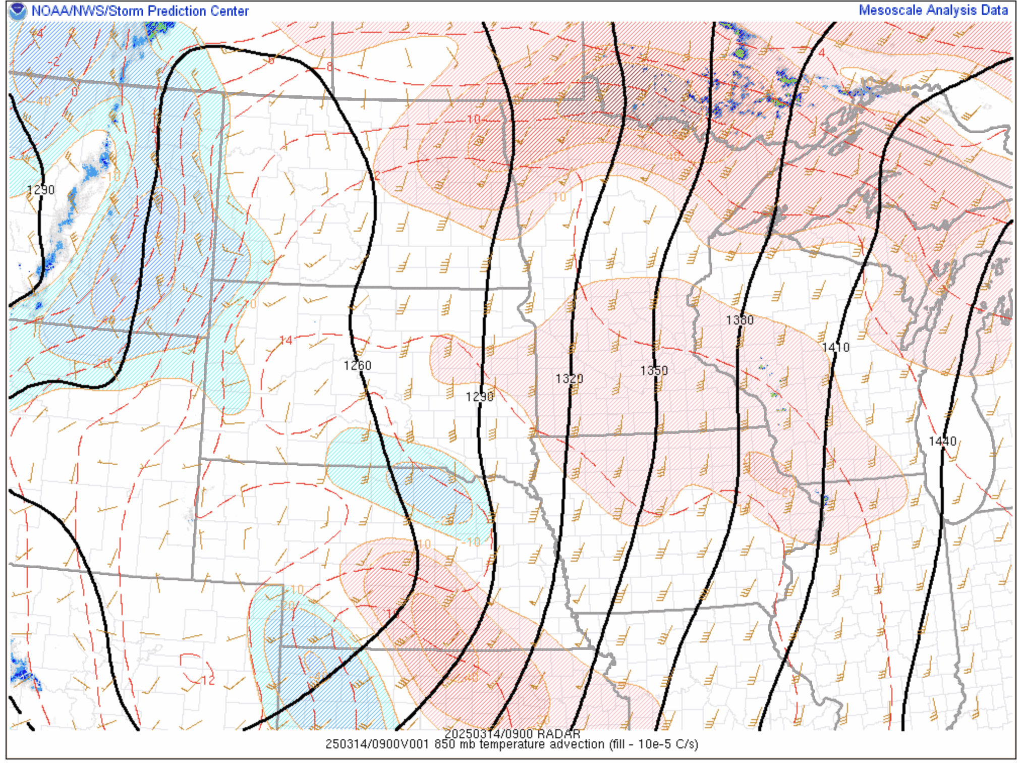
I awoke to thunderstorms in Madison, Wisconsin this morning. The elevated storms were riding a warm front at 850 mb, fueled by moderate-to-strong warm-air advection.
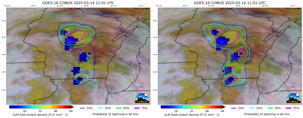
This was a good opportunity to look at ProbSevere LightningCast version 2, which includes Multi-Radar Multi-Sensor (MRMS) Reflectivity -10C as a predictor, along with several visible, near-infrared, and longwave-infrared bands from the GOES-R Advanced Baseline Imager (ABI). In the animation below, the contours in the left images were produced by LightningCast v1 (ABI-only predictors), whereas the contours in the right images were produced by LightningCast v2 (ABI + MRMS predictors). The background imagery is the GOES-16 IR-only cloud phase RGB and the blue foreground pixels are observed flash-extent density from the GOES-16 Geostationary Lightning Mapper (GLM).
The LightningCast v1 probabilities were lower for the storms in southern Wisconsin compared to LightningCast v2, which had elevated probabilities before lightning initiation. There are likely a couple of reasons that v1 probabilities are lower: 1) the short-wave reflective bands are not contributing at this time, and 2) overlapping mid- and high-level clouds may be obscuring the convective signal for the long-wave infrared predictors.
Overall, we’ve found that LightningCast v2 is very similar to v1, but outperforms v1 in important situations such as in new convective development under thick ice (e.g., anvil clouds), for convective decay, and sometimes in nocturnal convection. We have not seen significant degradation in regions without MRMS coverage or drops in lead time to lightning initiation when applying LightningCast v2.
This new version of LightningCast will be evaluated at the NOAA Hazardous Weather Testbed in May and June of this year.