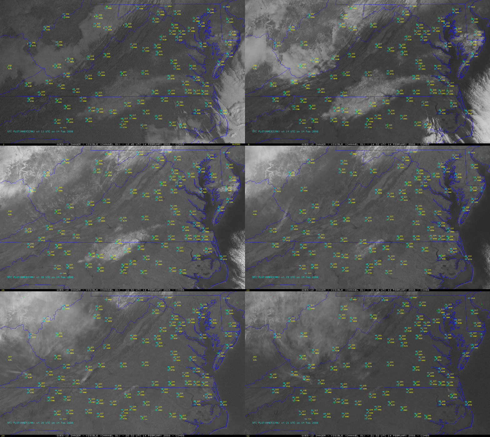
How fast can 1-4 inches of snow cover melt?
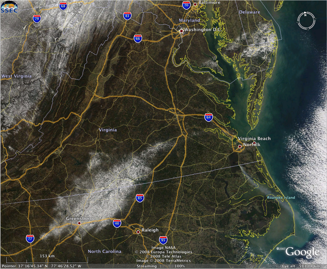
According to GOES-12 visible channel imagery (above), less than 12 hours if you’re in the Piedmont region of Virginia and North Carolina, given the presence of dry air and the “warming power” of the increasing sun angle of mid-February! Besides the rapid disappearance of the snow cover on 14 February 2008, there are 2 other interesting features evident in this animation of GOES-12 visible imagery: (1) tiny cloud plumes, likely originating from large industrial sites (I’m guessing either power plants, or mining operations) along the West Virgina / Ohio border region — the cloud plumes can be seen early in the loop, drifting initially eastward, then northeastward, and then northward as the morning boundary layer winds slowly changed direction; and (2) a fairly long smoke plume drifting southeastward from a fire that was burning along the eastern edge of the Great Dismal Swamp (which straddles the Virginia / North Carolina border) — this smoke plume (along with the late morning snow cover) shows up even better on MODIS true color imagery (below, viewed using Google Earth). This particular fire had been burning since 11 February.


