Category 5 Hurricane Celia
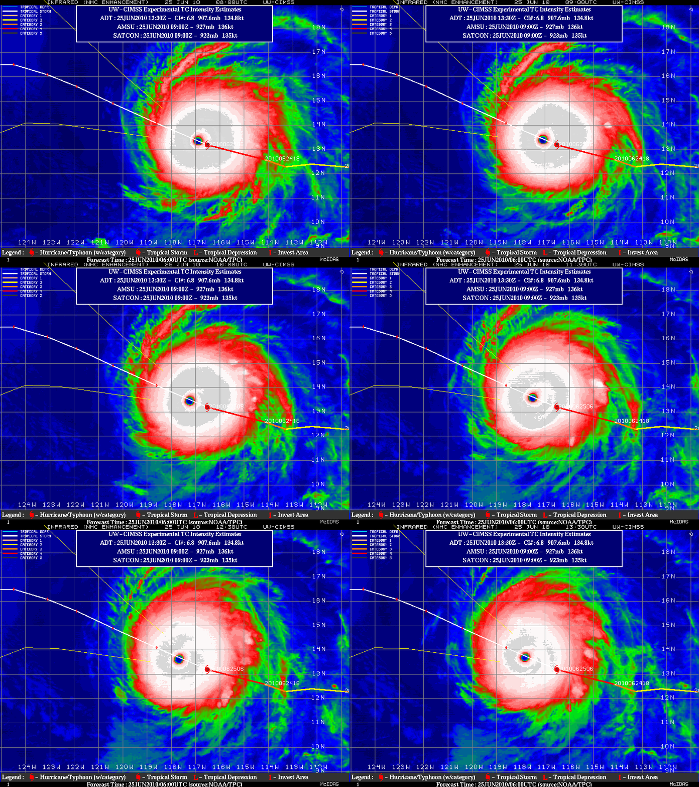
Hurricane Celia became the first Category 5 tropical cyclone of the 2010 East Pacific season on 24 June — in fact, the 140 knot intensity of Celia tied with Hurricane Ava (1973) as the strongest East Pacific Basin hurricane on record during the month of June. GOES-11 IR images from the CIMSS Tropical Cyclones site (above) displayed an annular structure with a well-defined small diameter eye as the hurricane began to slowly weaken on 25 June 2010.
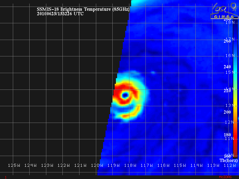
85 GHz microwave imagery from the SSM/I instrument (below) also revealed the nearly symmetric structure of the eye of the Celia.
===================================================
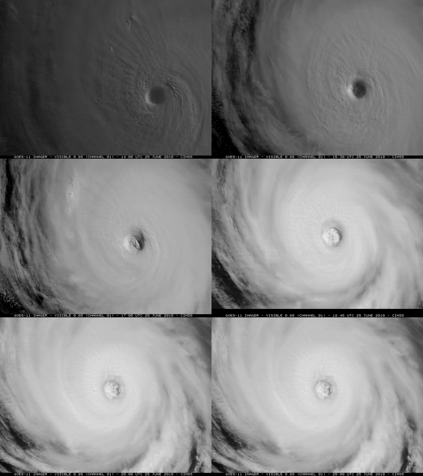
McIDAS images of Terra MODIS 11.0 µm IR channel data (above) showed the well-defined eye of Celia during the pre-dawn hours on 25 June, while GOES-11 0.65 µm visible channel images (below) show the evolution of the eye later in the day.
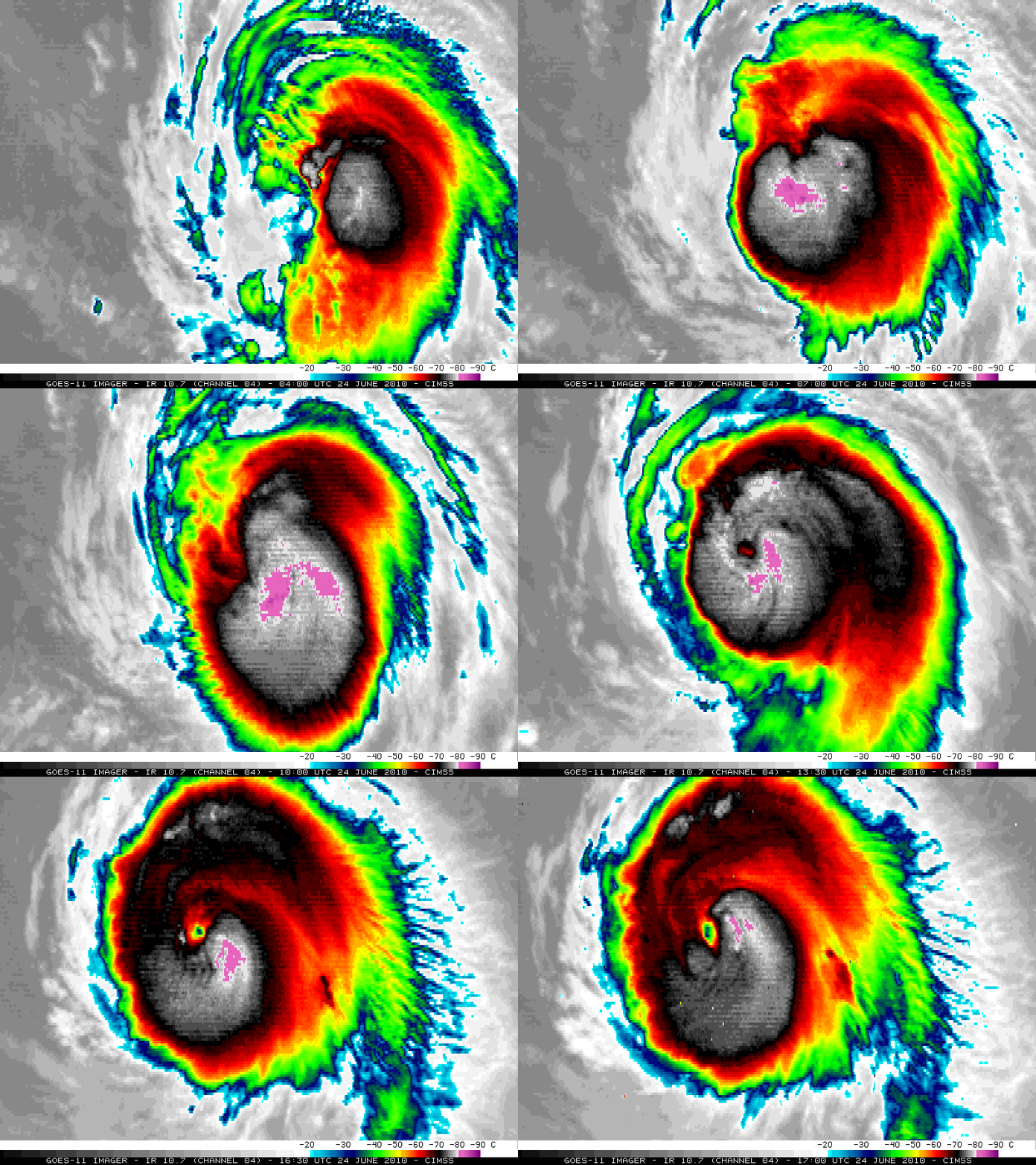
On the previous day (24 June) — as Celia was rapidly intensifying (CIMSS ADT plot) — the tropical cyclone exhibited IR brightness temperature values as cold as -91º C at 07:30 UTC on GOES-11 10.7 µm IR images (below).


