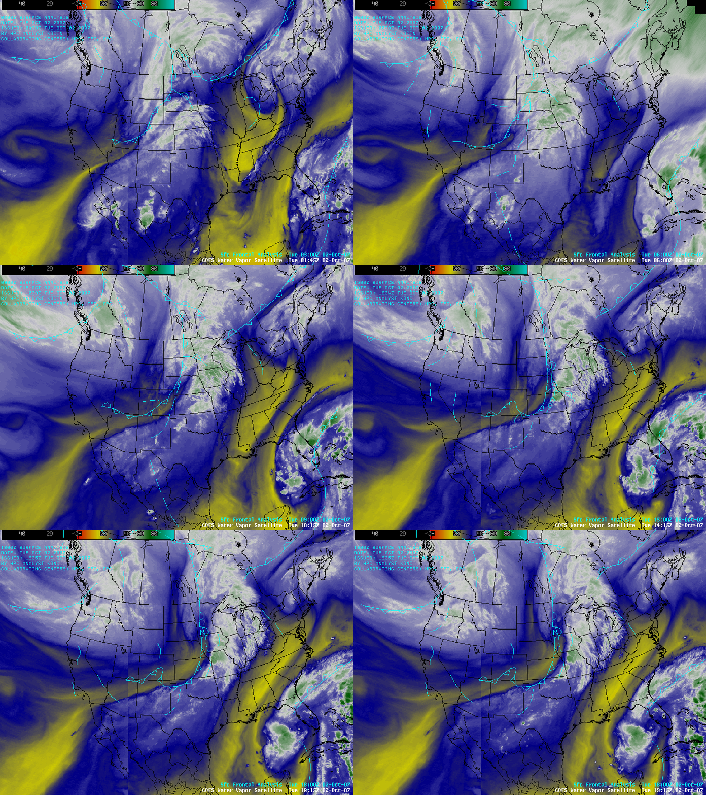
GOES water vapor imagery: present, and “future”
AWIPS composite images of the 6.7µm GOES-11 and 6.5µm GOES-12 “water vapor” channels (above) show the eastward progression of synoptic-scale frontal systems across the US and Canada — as well as the westward motion of what could evolve into a subtropical disturbance in the eastern Gulf of Mexico — on 02 October 2007. Regions of greater middle-tropospheric moisture (blue to white enhancement) and clouds (white to green enhancement) are evident along and ahead of many of these fronts, while areas of subsidence and dry air (yellow enhancement) are seen in the wake of some of the frontal boundaries.
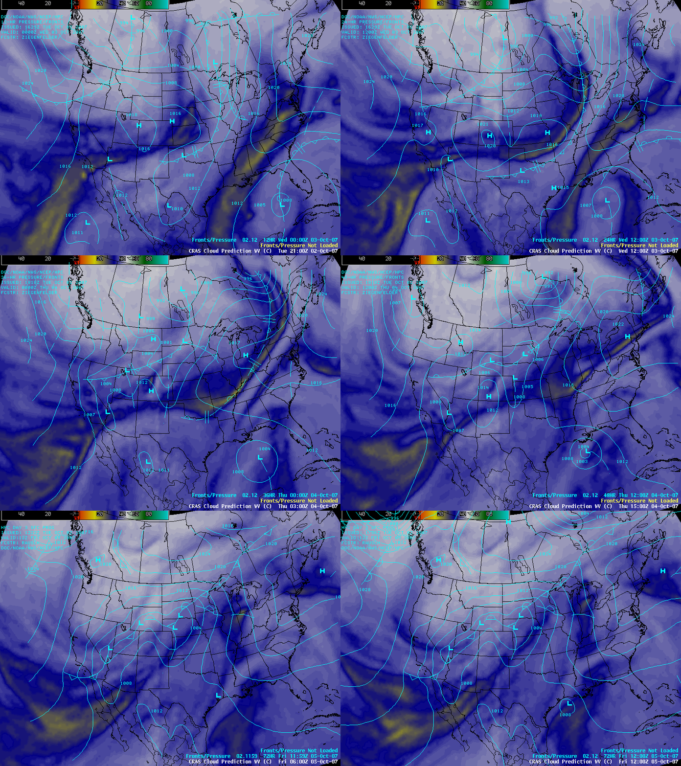
The CIMSS Regional Assimilation System (CRAS) numerical weather prediction model has the ability to output synthetic satellite imagery — a “forecast” of what GOES imagery might look like in the near future. AWIPS images of CRAS predictions of the GOES water vapor channel imagery (below) show the forecast covering the 02-05 October 2007 period. The CRAS imagery indicated that the pattern of alternating moist and dry features (associated with subsequent frontal passages) would continue for the next 2-3 days, while the moisture associated with the Gulf of Mexico disturbance would eventually move inland across the western and central Gulf Coast states during the forecast period.
CIMSS has been generating CRAS water vapor and IR forecast imagery since the mid-1990s, and this forecast imagery has been made available to AWIPS (via LDM subscription) since August 2006. The CRAS model forecast imagery in AWIPS has been well-received so far, being mentioned in several Area Forecast Discussions issued by the National Weather Service office at Milwaukee/Sullivan, Wisconsin. For more information, see the CRAS Forecast Imagery in AWIPS VISIT lesson.


