Hurricane Humberto
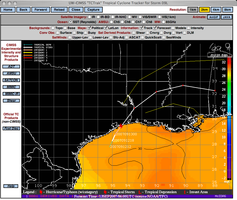
The slow movement of Tropical Storm Humberto over the warm waters of the Gulf of Mexico (above) allowed the system to intensify to become Hurricane Humberto (a Category 1 storm) during the pre-dawn hours on 13 September 2007. Humberto strengthened from a tropical depression (with 35 mph winds) to a hurricane (with wind gusts to 84 mph) in just 18 hours, which is the fastest rate of intensification near landfall ever observed. Humberto also became the first hurricane to make landfall in the US since Hurricane Rita back in September 2005.
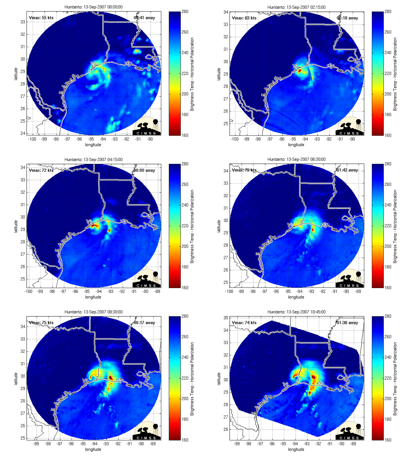
GOES-12 IR imagery from the CIMSS Tropical Cyclones site (above) shows the compact cluster of cold cloud top brightness temperatures moving inland across parts of Texas and Louisiana. A hint of a partial eyewall structure was seen in the MIMIC microwave imagery (below). Hurricane Humberto produced heavy rainfall across parts of the southeastern US, with amounts as high as 14.13 inches in Texas.


