Late season Nor’easter
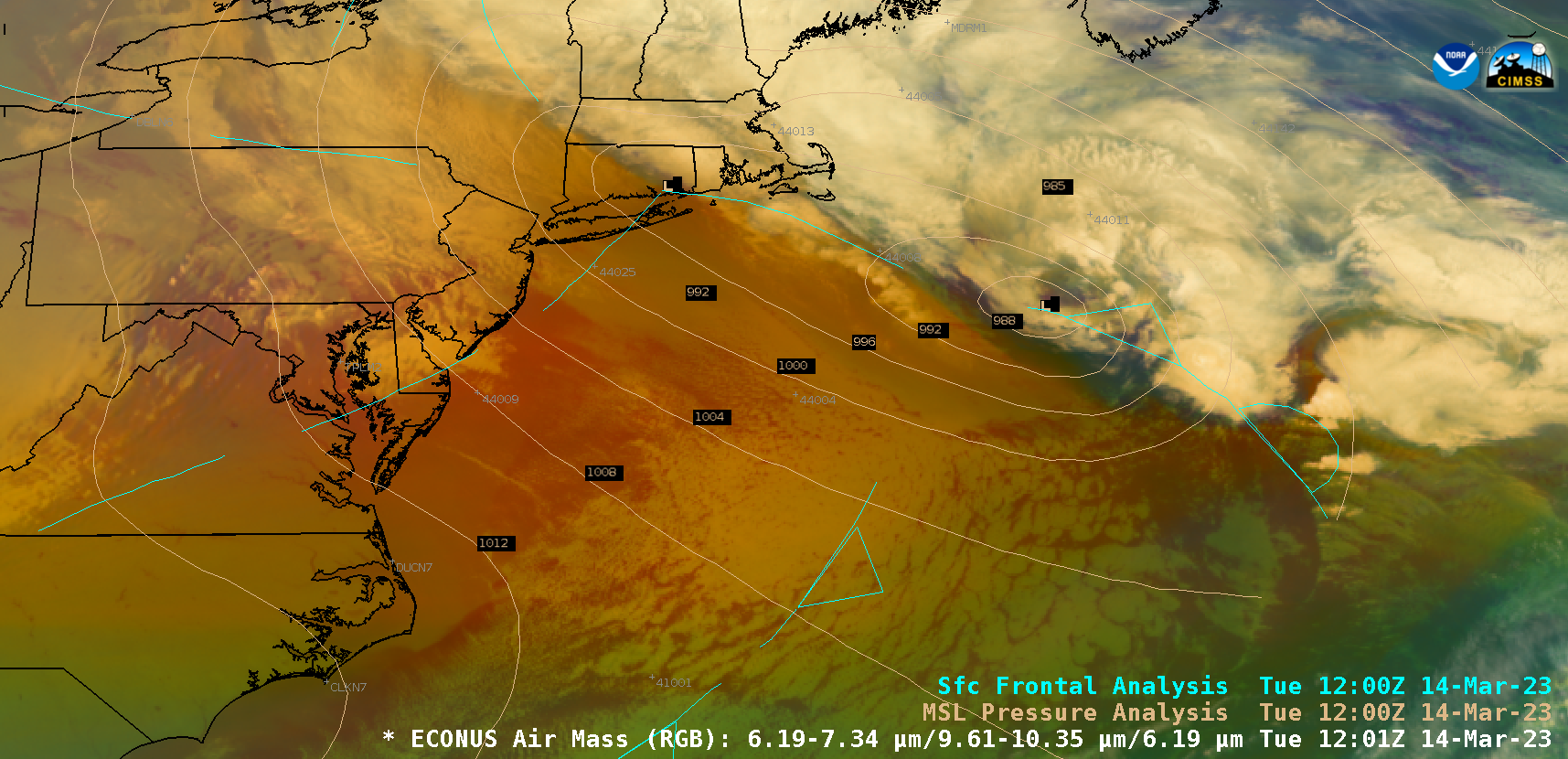
GOES-16 Air Mass RGB images with 3-hourly surface analyses of pressure and fronts, 13-15 March [click to play MP4 animation]
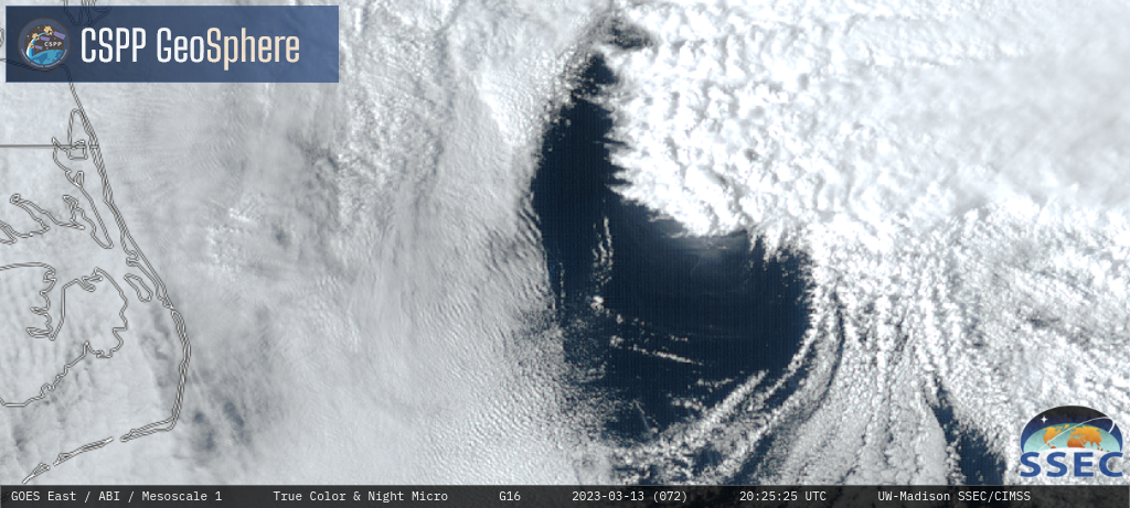
As the system was beginning to intensify off the coast of North Carolina on 13 March, 1-minute Mesoscale Domain Sector GOES-16 True Color RGB images from the CSPP GeoSphere site (below) revealed the hazy signature of enhanced solar reflection off an agitated sea surface (where high waves and abundant sea spray were present) — the likely result of a burst of strong middle-tropospheric winds that had descended to the surface (just south of the surface low pressure center). A similar signature of enhanced solar reflection off a highly-agitated sea surface was observed with strong West Atlantic storms in December 2022 and April 2019.
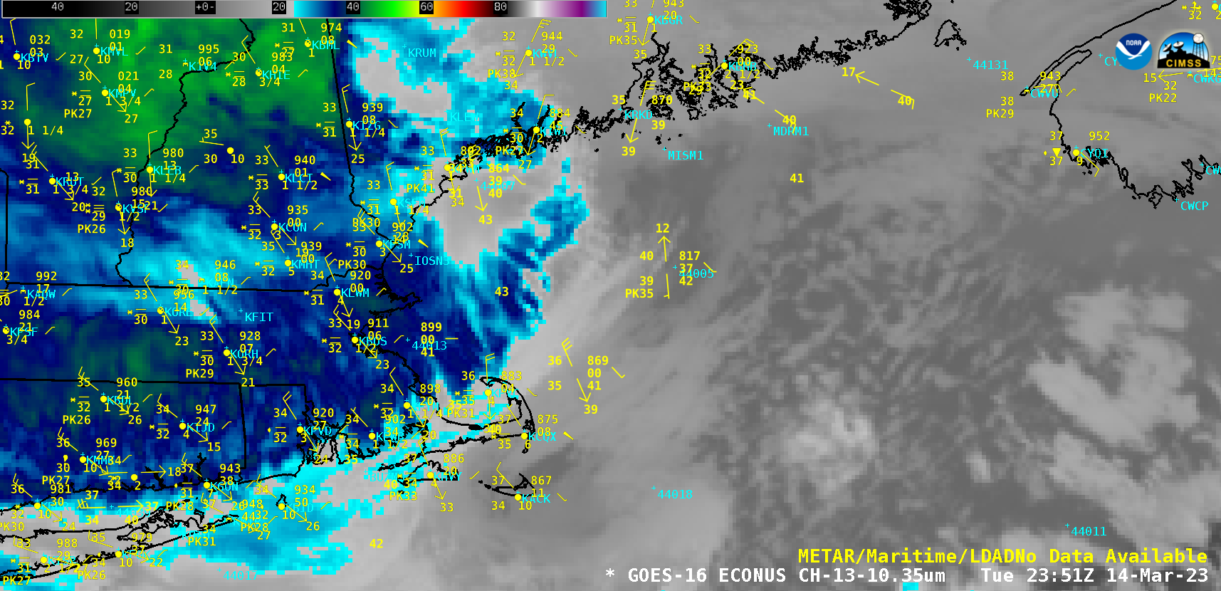
GOES-16 “Clean” Infrared Window (10.3 µm) images, with plots of surface and buoy reports [click to play MP4 animation]


