Island-effect thunderstorms affecting Guam
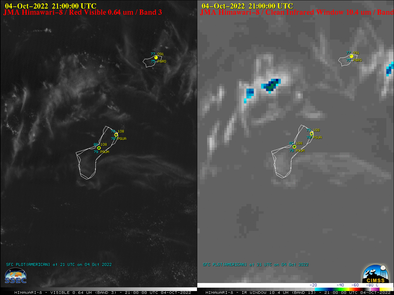
Himawari-8 Visible (0.64 µm, left) and Infrared Window (10.4 µm, right) [click to play animated GIF | MP4]
This type of island-effect convection occurred because the typical easterly trade wind flow within the boundary layer was disrupted when a trough of low pressure became situated across the region, which led to a regime of light surface winds across the Mariana Islands (below) — and daytime heating of the islands contributed to “land breeze” convergence which aided convective development.
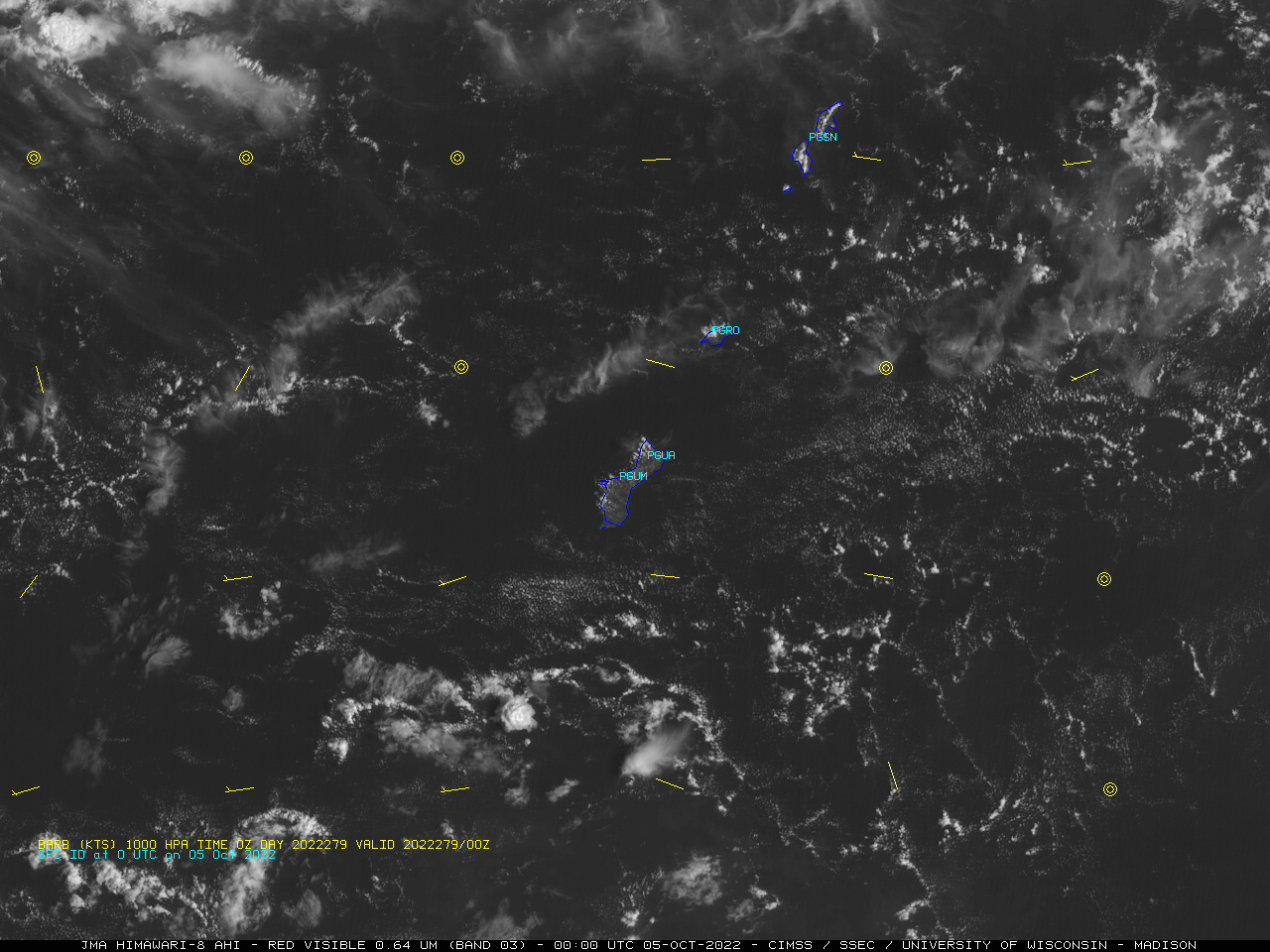
Himawari-8 Visible (0.64 µm) image at 0000 UTC on 05 October, with GFS model 1000 hPa wind barbs plotted in yellow [click to enlarge]
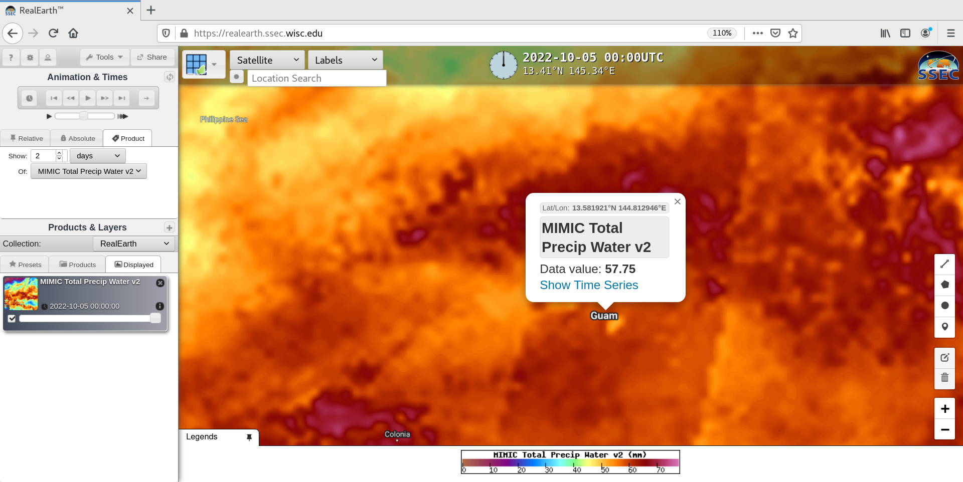
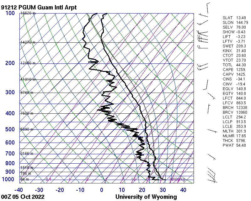
Hourly MIMIC Total Precipitable Water product [click to play animated GIF]
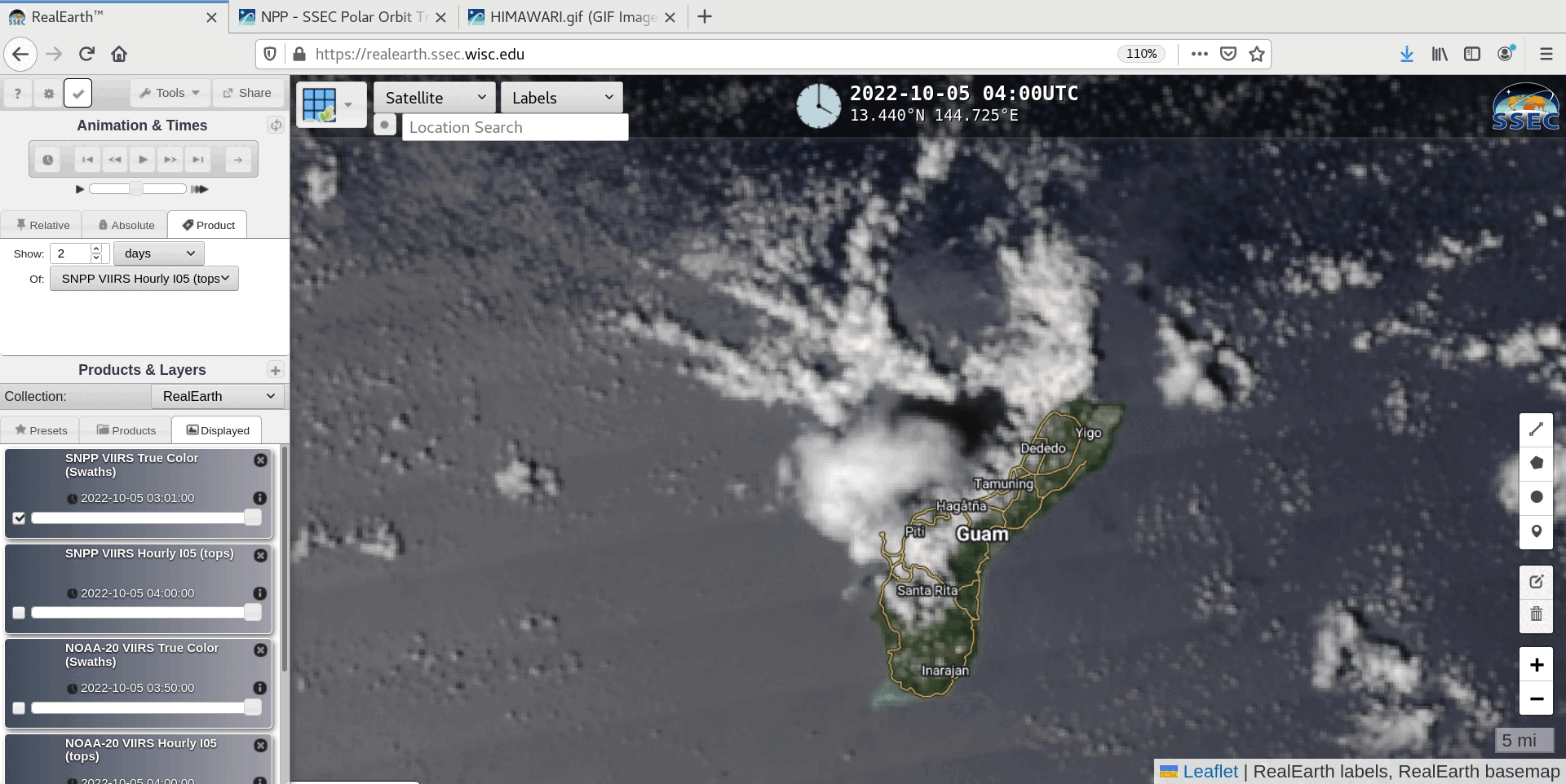
Suomi-NPP VIIRS True Color RGB and Infrared Window (11.45 µm) images, valid at 0332 UTC [click to enlarge]