LightningCast Probabilities over Guam in a regime of light winds

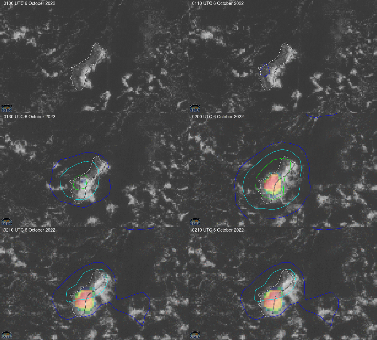
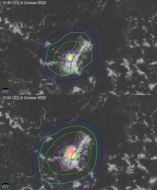
The animation above shows ProbSevere LightningCast probabilities over the Island of Guam for 80 minutes near noon local time on 6 October 2022 (imagery taken from this RealEarth website). The animation above shows LightningCast probabilities increasing from 0110 UTC (when a 10% contour appears) through 0140 UTC and 0150 UTC (when a 75% contour — in magenta — is present. The sequence of events initially caused some astonishment when the 0110 UTC image appeared. The toggle below compares 0100 and 0110 UTC imagery; there appears to be little difference in the imagery between those two times, yet probabilities increase. It seemed odd at the time that maximum values were separated from the observed clouds!

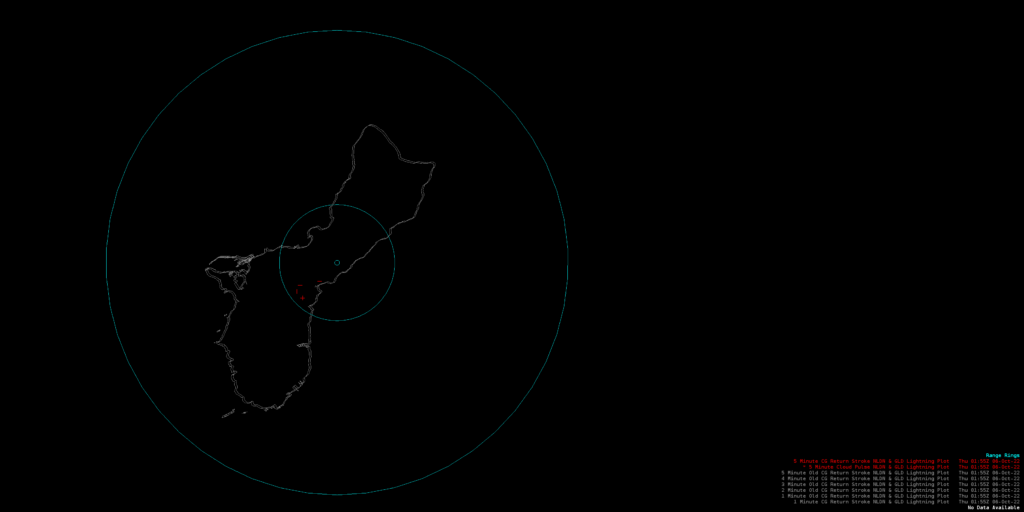
Lightning was observed at 0141 UTC, just off the east coast of central Guam, and at 0152 UTC, close to the NWS Office in Barrigada (and in fact, that thunder was audible in the office). Both lightning events fell within (or very close to) the 75% contour, and were also close to the radar, so radar interrogation of the storm was difficult.

As noted in the blog title, atmospheric winds during this event were light. Click here to see a toggle of satellite-derived winds at upper levels (above 400 mb) and lower levels (below 400 mb) from the SSEC Tropical Website (direct link to western Pacific winds).
The image below shows the detected lightning (in the Guam Forecast Office AWIPS display system) at 0152 UTC. Click here to view a similar image showing one lightning strike at 0141 UTC.


