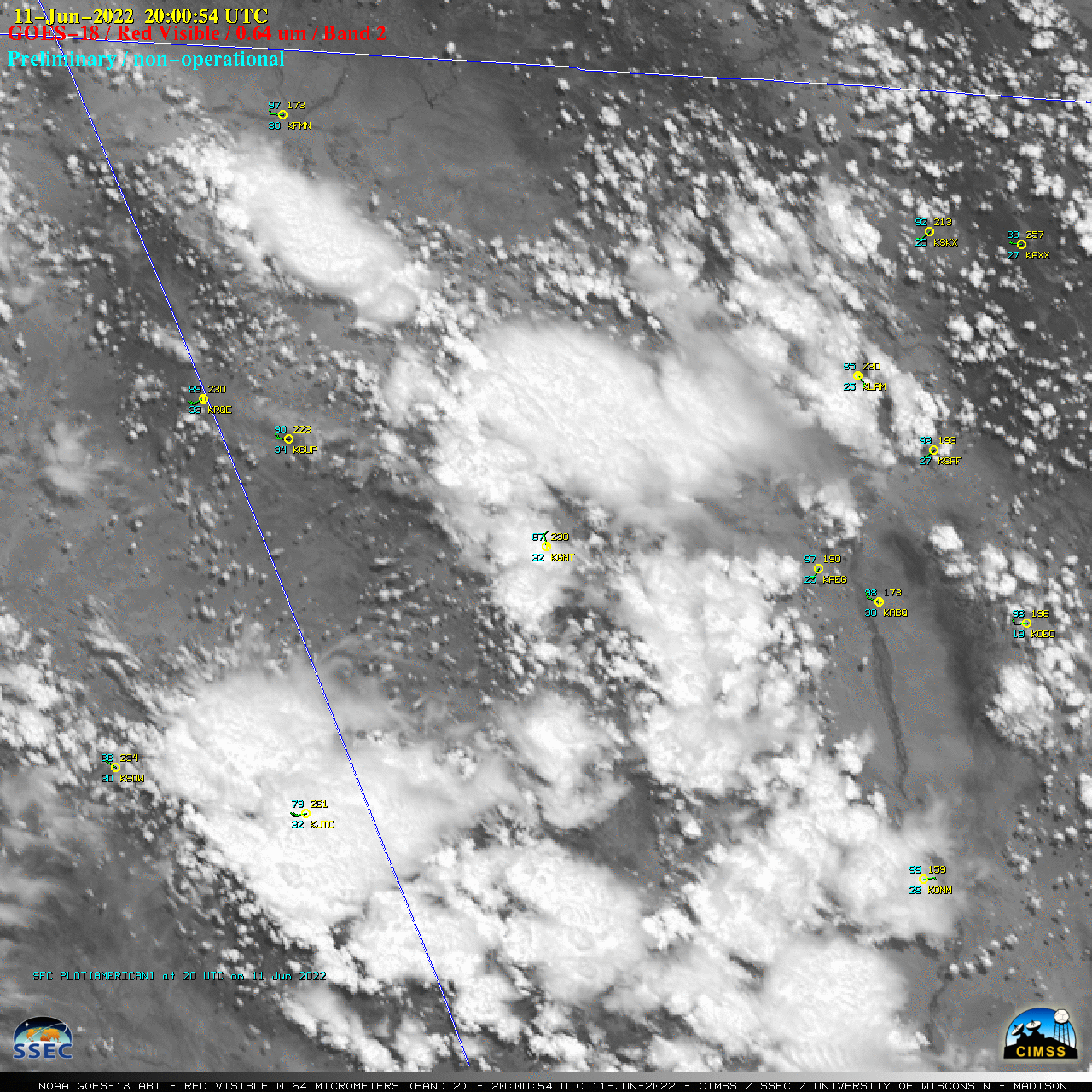
30-second GOES-18 images centered over New Mexico

GOES-18 “Red” Visible (0.64 µm) images, with plots of hourly surface reports [click to play animated GIF | MP4]
GOES-18 images in this blog post are preliminary and non-operational
Overlapping 1-minute Mesoscale Sectors provided GOES-18 imagery at 30-second intervals — and “Red” Visible (0.64 µm) images (above) showed the development of showers and thunderstorms across western New Mexico and far eastern Arizona on 11 June 2022.
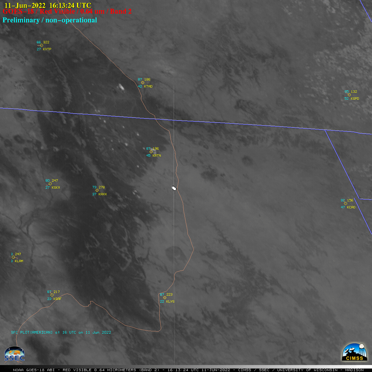
In northeastern New Mexico, another feature of interest was the bright reflection of sunlight from large solar panel arrays at a facility located just west of Interstate 25 in northeastern New Mexico (below). Similar to a 2019 example observed with GOES-17 in California, long vertical “stripes” emanating from the bright reflection signature — extending both northward and southward from the solar farm — were likely related to saturated ABI detector column amplifiers, due to an excess charge induced by intense sunlight reflection off the large solar panels.

GOES-18 “Red” Visible (0.64 µm) images, with plots of hourly surface reports [click to play animated GIF | MP4]

