Wildfires and blowing dust in New Mexico

GOES-17 Fire Temperature RGB (top left) and Shortwave Infrared (3.9 µm, top right), with GOES-16 Fire Power (bottom left) and Fire Temperature (bottom right) [click to play animated GIF | MP4]
The northern portion of the Calf Canyon Fire exhibited extreme behavior, with rapid intensification and rates of spread that led to evacuation orders being issued for 2 communities just north of Mora. That part of the fire also exhibited maximum 3.9 µm brightness temperatures of 138.71ºC — which is the saturation temperature of ABI Band 7 detectors — beginning around 1900 UTC.
GOES-16 True Color RGB images created using Geo2Grid (below) revealed the dense smoke plumes (pale shades of white) from the the wildfires, in addition to broad plumes of blowing dust (shades of tan) originating in northwestern New Mexico — strong winds across the region aided in the rapid northeastward transport of these aerosols.

GOES-16 True Color RGB images [click to play animated GIF | MP4]
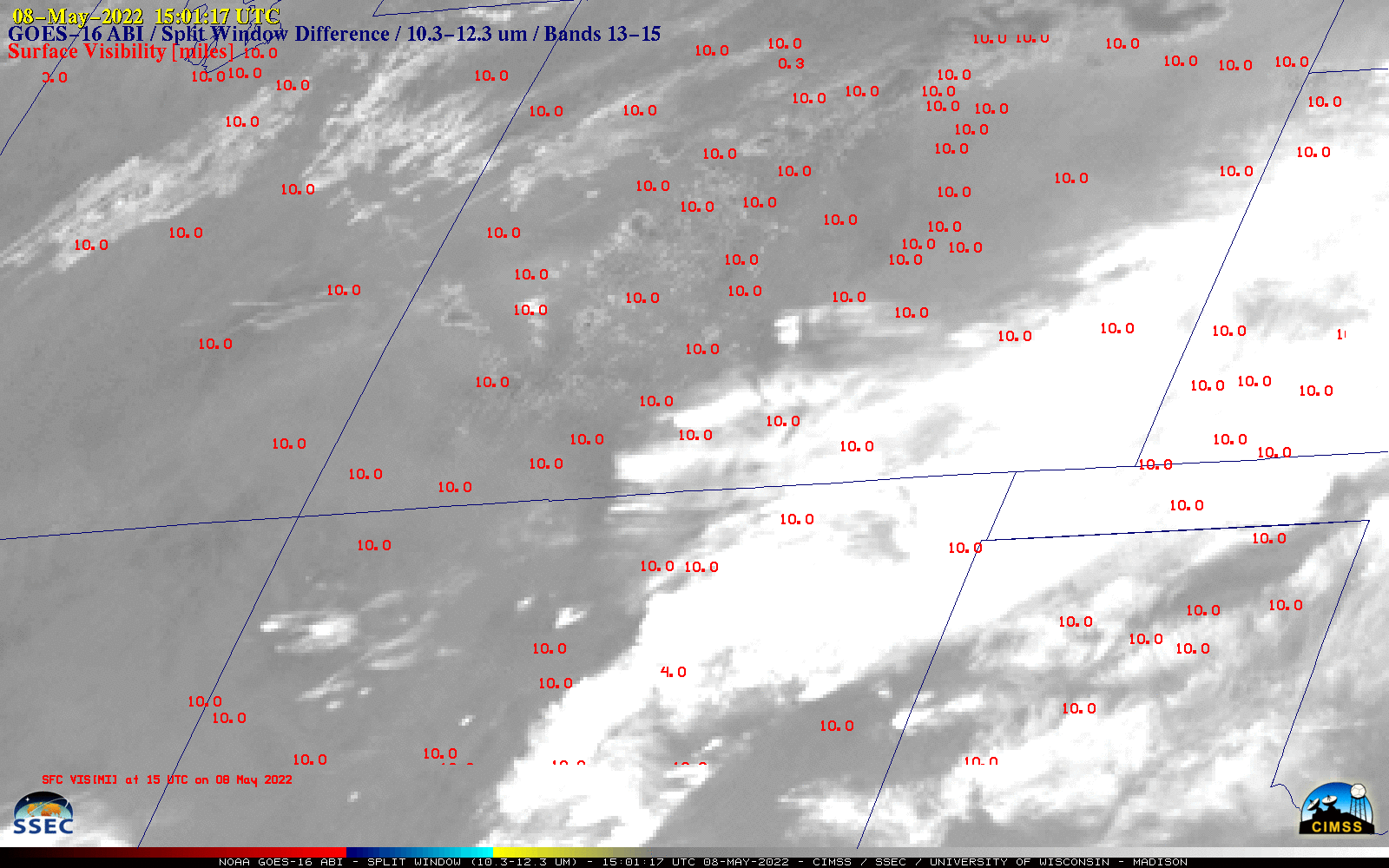
GOES-16 Split Window Difference (10.3 µm – 12.3 µm) images, with hourly surface visibility (miles) plotted in red [click to play animated GIF | MP4]