Open-cell vs. closed-cell convection over the Pacific Ocean
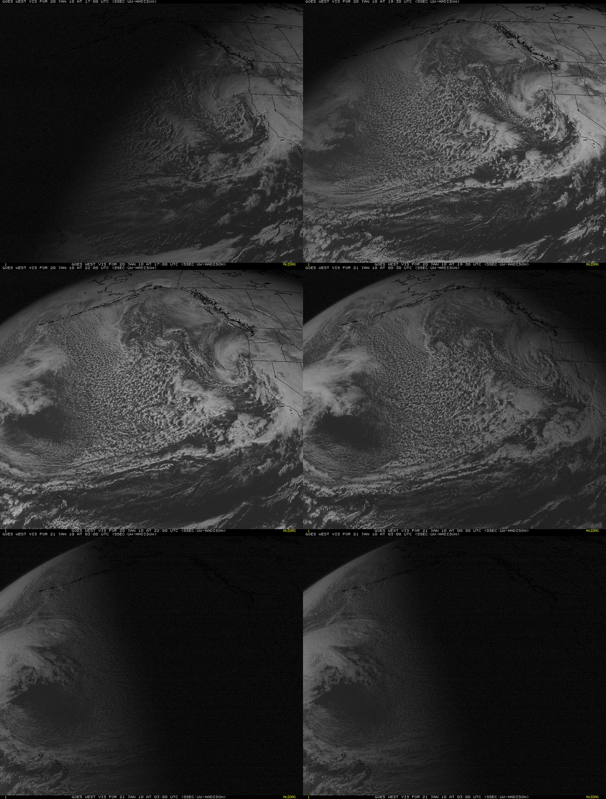
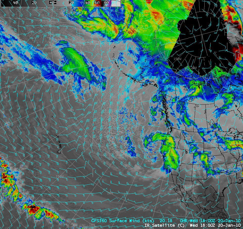
GOES-11 (GOES-West) visible channel images (above) displayed an unusually large area of open-cell cumulus clouds across the North Pacific Ocean on 20 January 2010. This type of open-cell mesoscale convective cloud pattern is a signature of strong instability (via boundary layer cold air advection over relatively warmer waters) in an environment of cyclonic flow. These cloud patterns tend to be fairly shallow, as indicated by their relatively warm appearance on IR imagery (below) — and the presence of open cell convection usually indicates that winds within the marine boundary layer are greater than about 25 knots.________________________________________________
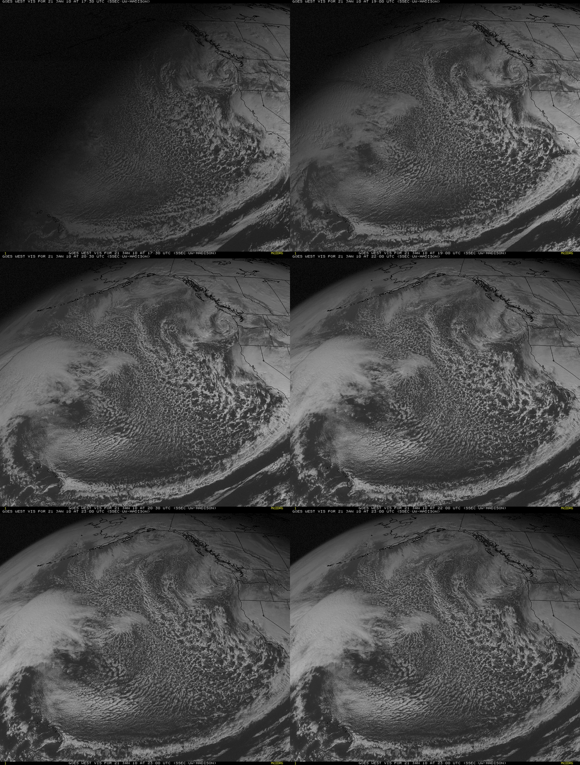
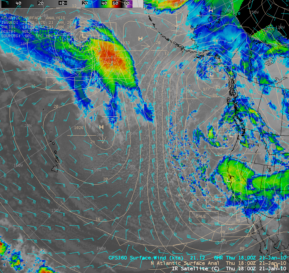
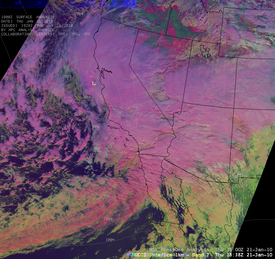
On the following day (21 January 2010), the cold front marking the leading edge of the cold air advection had moved south of 20º N latitude — and GOES-11 visible images (above) showed the formation of a large area of closed-cell stratocumulus clouds to the northeast of the Hawaiian Islands. This type of closed-cell convection often forms in regions of anticyclonic flow, as confirmed by the GFS360 surface wind field (below) — and stronger subsidence causes the cumulus cloud features to flatten out and form stratocumulus clouds beneath the subsidence inversion. Also note the “barrier effect” of the Hawaiian Islands on the marine boundary layer stratocumulus, as well as the formation of lee cloud lines downwind of the islands. As a deep cyclone approached the California coast on 21 January, a number of all-time minimum pressure records were set across the state. A MODIS false color Red/Green/Blue (RGB) image (below) shows the extensive cloudiness associated with this storm; on this RBG image supercooled clouds appear as white features, while glaciated clouds take on more of a lighter pink color. Snow cover shows up as darker pink areas (such as those over northern Nevada and southern Oregon/Idaho).

