Tropical Storm Henri makes landfall

GOES-16 “Red” Visible (0.64 µm) and “Clean” Infrared Window (10.35 µm) images [click to play animation | MP4]
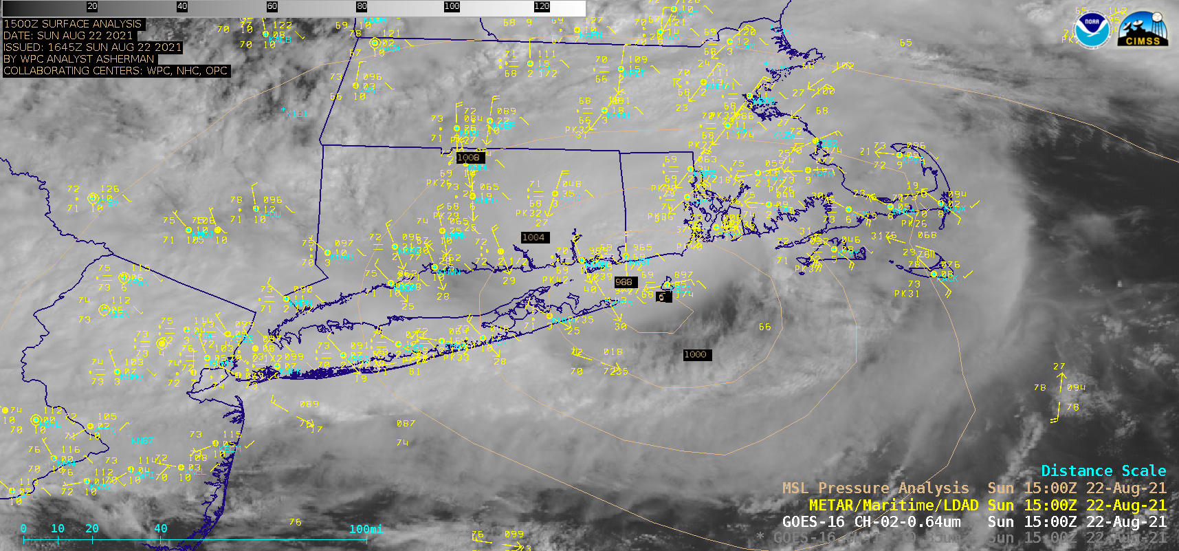
1–minute Mesoscale Domain Sector GOES-16 (GOES-East) “Red” Visible (0.64 µm) images and “Clean” Infrared Window (10.35 µm) images (above) showed Tropical Storm Henri as it moved over Block Island (station identifier KBID) around 1500 UTC and then made landfall along the coast Rhode Island around 1615 UTC on 22 August 2021. Infrared images depicted the coldest cloud tops of deep convection moving northwestward across Connecticut. Heavy rainfall and strong winds were reported across parts of the Northeast US as Henri moved inland.
A GMI Microwave (85 GHz) image from the CIMSS Tropical Cyclones site (below) displayed an arc of heavier precipitation to the north, east and south of the inland storm center at 1635 UTC.
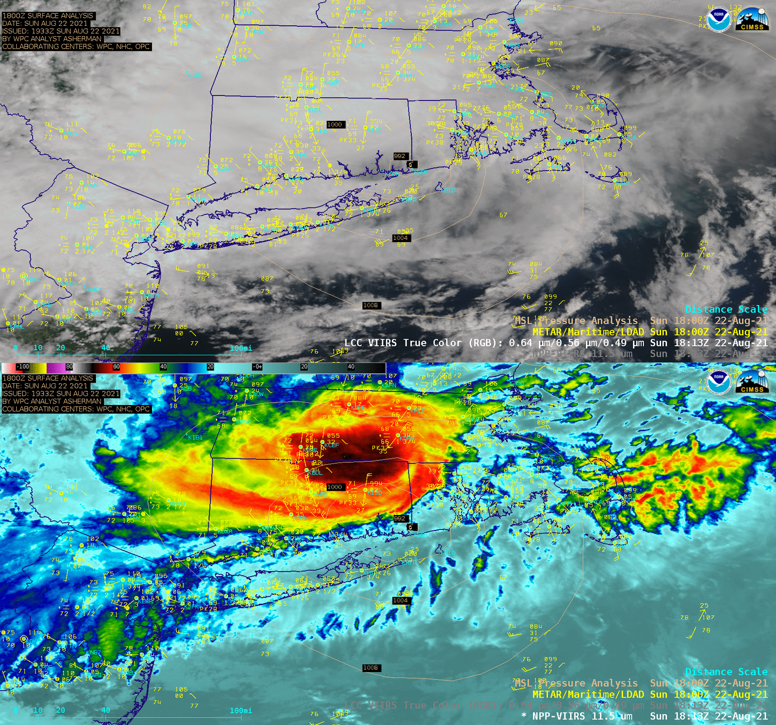
Suomi NPP VIIRS True Color RGB and Infrared Window (11.45 µm) images at 1813 UTC (below) were acquired and processed by the CIMSS Direct Broadcast ground station — and revealed cloud-top infrared brightness temperatures as cold as -71ºC near the Massachusetts/Connecticut border.


