Tropical Storm Fred in the Caribbean Sea

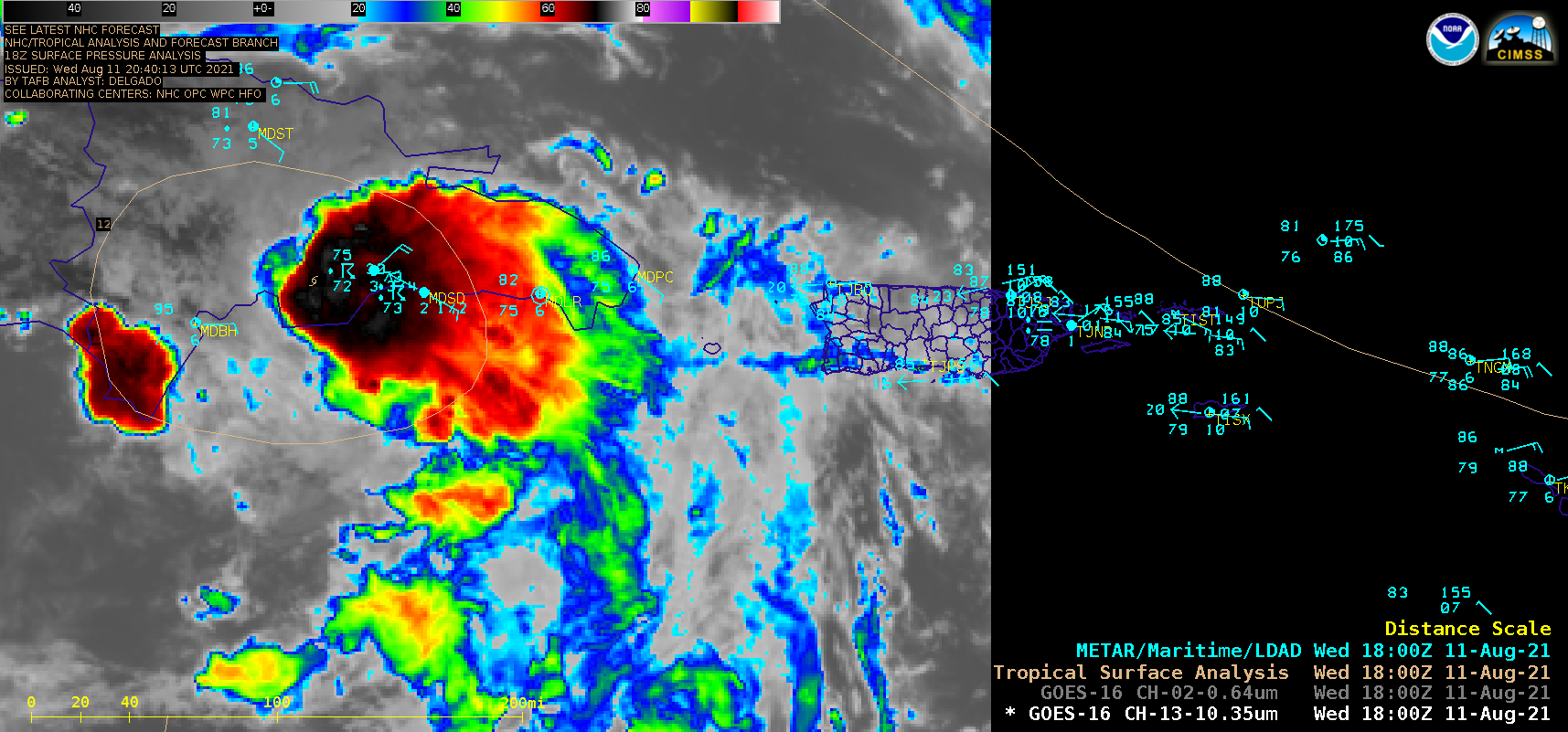
GOES-16 “Clean” Infrared Window (10.35 µm) and “Red” Visible (0.64 µm) images [click to play animation | MP4]
Potential Tropical Cyclone 6 was upgraded to Tropical Storm Fred at 03 UTC on 11 August 2021, just south of Puerto Rico — and 1–minute Mesoscale Domain Sector GOES-16 (GOES-East) “Red” Visible (0.64 µm) and “Clean” Infrared Window (10.35 µm) images (above) showed Fred as it made landfall along the southern coast of the Dominican Republic around 18 UTC.
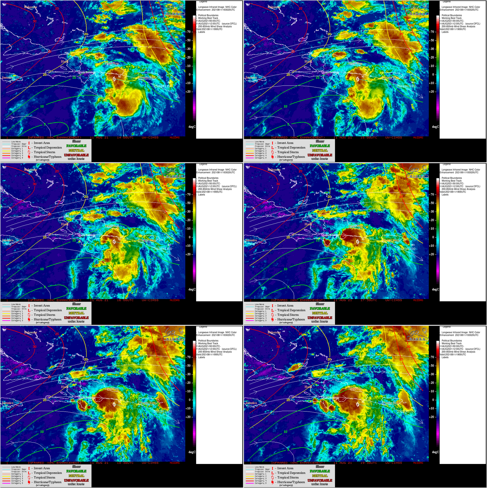
Fred was moving through an environment characterized by relatively low values of deep-layer wind shear, according to an analysis from the CIMSS Tropical Cyclones site (below).

GOES-16 Infrared (11.2 µm) images, with contours of deep-layer wind shear at 19 UTC [click to enlarge]

