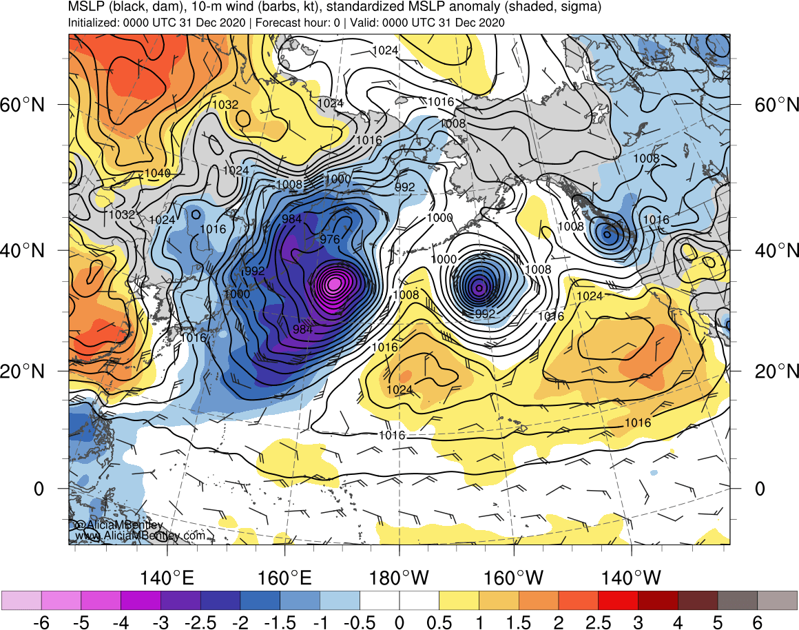
Hurricane Force low moves into the Bering Sea
![GOES-17 Air Mass RGB and Mid-level Water Vapor (6.9 µm) images [click to play animation | MP4]](https://cimss.ssec.wisc.edu/satellite-blog/images/2020/12/201231_goes17_airMassRGB_waterVapor_AK_low_anim.gif)
GOES-17 Air Mass RGB and Mid-level Water Vapor (6.9 µm) images [click to play animation | MP4]
A closer view using a GOES-17 Water Vapor image at 0910 UTC (below) included plots of Metop ASCAT surface scatterometer winds — the highest ASCAT wind speeds were 66 knots north of the storm center, and 78 knots south of the storm center.
![GOES-17 Mid-level Water Vapor (6.9 µm) image at 0910 UTC, with plots of Metop ASCAT surface scatterometer winds [click to enlarge]](https://cimss.ssec.wisc.edu/satellite-blog/images/2020/12/ak_ascat_wv-20201231_091032.png)
GOES-17 Mid-level Water Vapor (6.9 µm) image at 0910 UTC, with plots of Metop ASCAT surface scatterometer winds [click to enlarge]
![Suomi NPP VIIRS Infrared Window (11.45 µm) and Day/Night Band (0.7 µm) images [click to enlarge]](https://cimss.ssec.wisc.edu/satellite-blog/images/2020/12/201231_1457utc_suomiNPP_viirs_infraredWindow_dayNightBand_AK_low_anim.gif)
Suomi NPP VIIRS Infrared Window (11.45 µm) and Day/Night Band (0.7 µm) images [click to enlarge]
![Suomi NPP VIIRS Infrared Window (11.45 µm) and Day/Night Band (0.7 µm) images [click to enlarge]](https://cimss.ssec.wisc.edu/satellite-blog/images/2020/12/210101_0053utc_suomiNPP_viirs_infraredWindow_dayNightBand_AK_low_anim.gif)
Suomi NPP VIIRS Infrared Window (11.45 µm) and Day/Night Band (0.7 µm) images [click to enlarge]
![GOES-17 Mid-level Water Vapor (6.9 µm) images, with contours of PV1.5 pressure [click to play animation | MP4]](https://cimss.ssec.wisc.edu/satellite-blog/images/2020/12/201231_goes17_waterVapor_pv1.5pressure_AK_low_anim.gif)
GOES-17 Mid-level Water Vapor (6.9 µm) images, with contours of PV1.5 pressure [click to play animation | MP4]
![Plot of surface report data from Shemya [click to enlarge]](https://cimss.ssec.wisc.edu/satellite-blog/images/2020/12/201231_PASY_SFCMG.GIF)
Plot of surface report data from Shemya [click to enlarge]
A new Alaska land-based low pressure record has been set! Shemya, AK dropped to 924.8mb at 2159Z (1259 AKST) today. The previous accepted record was from a ship in Dutch Harbor at 925mb in 1977. Pressure is now slowly rising at Shemya. #akwx #hurricaneforce pic.twitter.com/1yiYOPvsTr
— NWS Anchorage (@NWSAnchorage) December 31, 2020