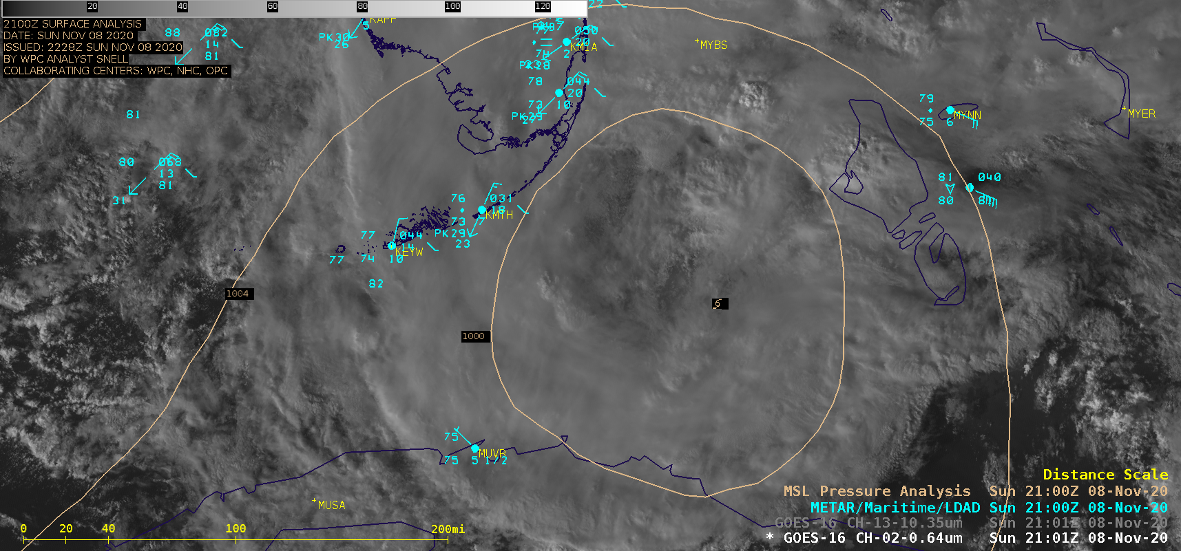
Tropical Storm Eta enters the Florida Straits

GOES-16 “Red” Visible (0.64 µm) and “Clean” Infrared Window (10.35 µm) images [click to play animation | MP4]
By Scott Bachmeier •

GOES-16 “Red” Visible (0.64 µm) and “Clean” Infrared Window (10.35 µm) images [click to play animation | MP4]
![GOES-16 Longwave Infrared (11.2 µm) images, with contours of 19 UTC deep-layer wind shear [click to enlarge]](https://cimss.ssec.wisc.edu/satellite-blog/images/2020/11/201108_goes16_ir_19utc_shear_Eta_anim.gif)
GOES-16 Longwave Infrared (11.2 µm) images, with contours of 19 UTC deep-layer wind shear [click to enlarge]
Categories: GOES-16, Satellite winds, Tropical cyclones