Record cold in Alaska
A McIDAS image of the NOAA-18 10.8 µm IR channel (above) showed a region of very cold surface temperatures (darker blue to violet color enhancement) over the interior of Alaska on 19 November 2009, especially in the vicinity of Chandalar Lake (station identifier PALR) and Anuktuvuk Pass (station identifier PAKP). In addition, note the appearance of the warm signature of large cracks or “leads” in the ice over the Arctic Ocean (orange to red color enhancement), to the north and northeast of Kuparuk (station identifier PAKU).
A closer view with an overlay of the surface air temperatures (below) revealed a number of narrow fingers of very cold air — this represented the drainage of the coldest air into mountain valleys along the southern portion of the Brooks Range. The coldest IR brightness temperature in that area was -44º F, which happened to match the coldest surface air temperature from first-order weather stations of -44º F at Bettles (located near the center of the image). Bettles reported record low daily minimum temperatures of -45º F on 17 November, -46º F on 18 November, -47º F on 19 November, and -46º F on 20 November (the high temperature was only -40º F on that day!) — the normal high/low temperatures for Bettles during this period are +3º F and -10º F. This stretch of record cold temperatures followed a record 2-day snowfall of 23.7 inches on 11-12 November (the greatest 2-day snowfall on record for Bettles during the month of November).
However, note that the IR image also suggested the presence of a deck of clouds to the east of the very cold valley signatures — and surface air temperatures were significantly warmer under this cloud deck.
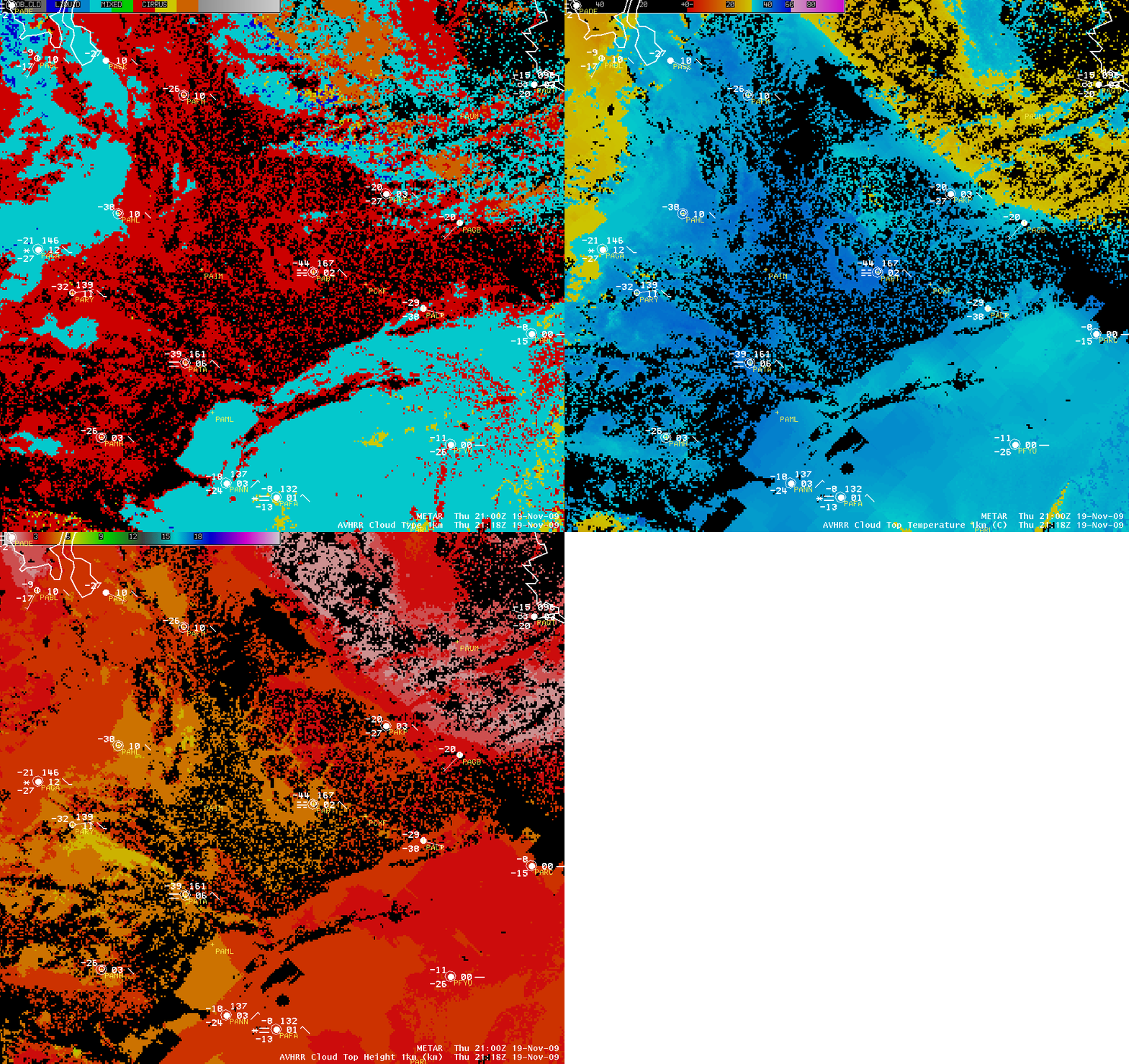
AWIPS images of the AVHRR Cloud Type, Cloud Top Temperature, and Cloud Top Height products (below) indicated that the patch of clouds to the east and southeast of Bettles (station identifier PABT) was composed of supercooled water droplets (cyan color enhancement), with cloud top temperatures in the -30 to -38º C range and cloud top heights in the 3-5 km range. Note that the cloud product algorithms showed values of cloud properties over the region surrounding Bettles (even though it was clear there) — the very cold surface temperatures of -40 C and colder tricked the algorithms into thinking that there were high cirrus clouds over that particular area.
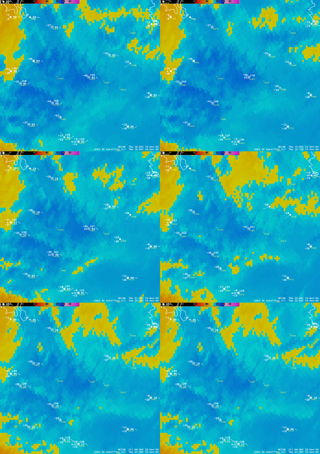
GOES-11 10.7 µm IR images (below) gave some subtle indication that this cloud deck was moving slowly northward across the region to the east of Bettles (note that north is toward the upper right corner, due to the North America projection of these particular AWIPS images).


