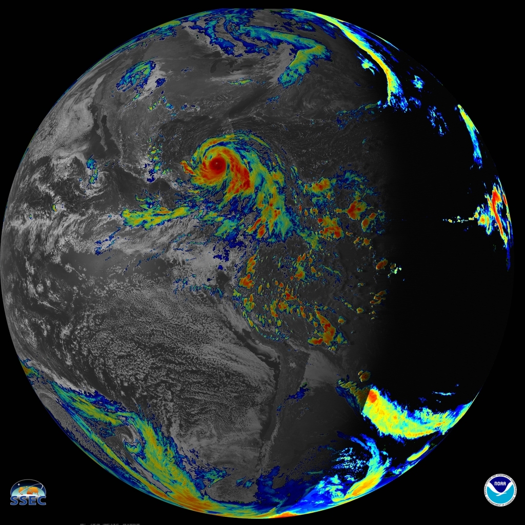
Hurricane Gilbert: 1988 as seen by GOES-7
Hurricane Gilbert (1988) is one of the most intense Atlantic-basin hurricane on record. NOAA’s GOES-7 offer both visible and infrared views of the storm. These images are from the VISSR mode. What is unique about the view from the geostationary orbit, is that it allows both large / synoptic scale views as well as finer (mesoscale) views.
Visible band
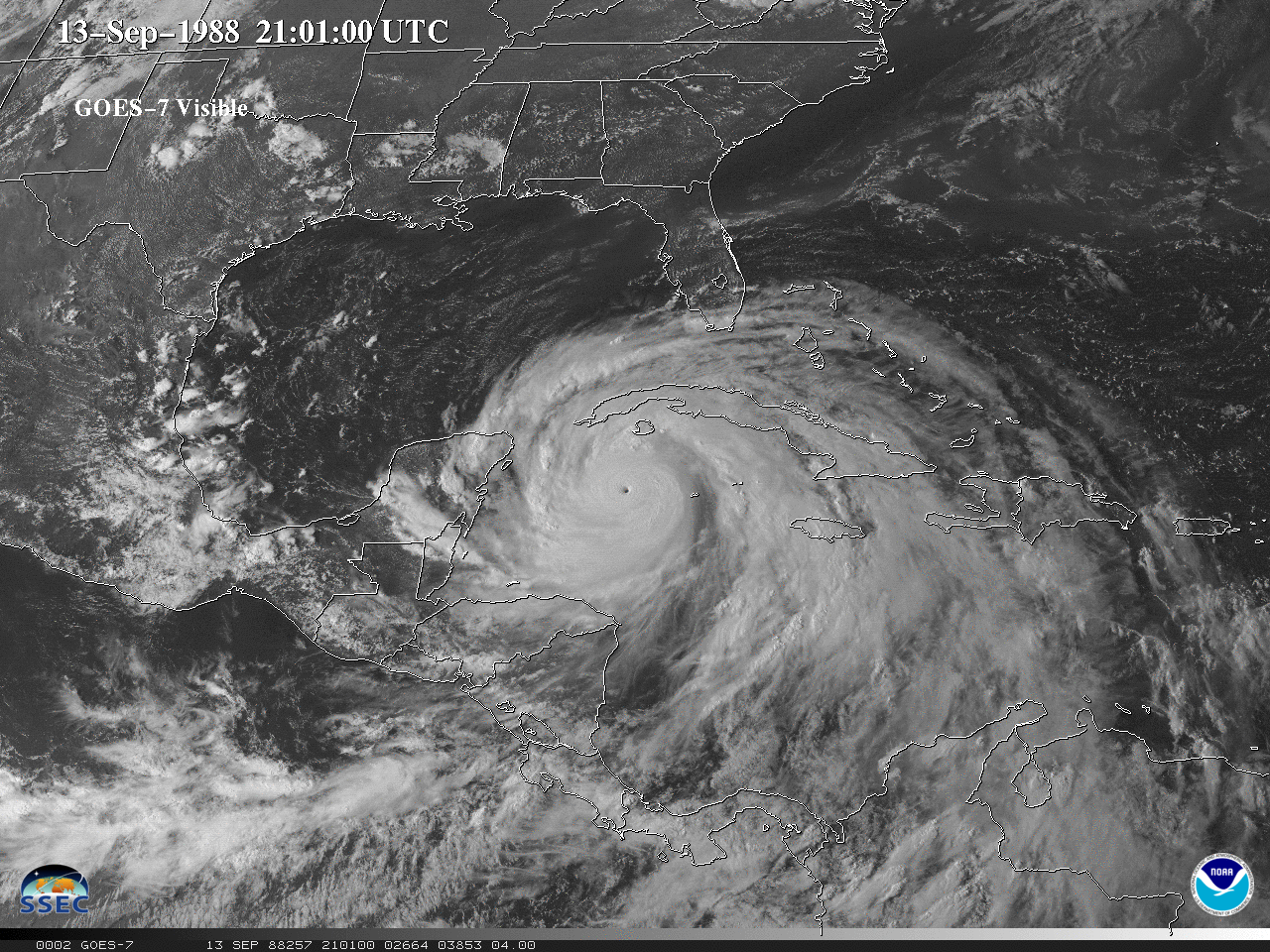
GOES-7 Visible images from September 10-17, 1988. [click to play animation | MP4]
A week-long visible loop of the Hurricane Gilbert as it moves across the Caribbean and through the Gulf of Mexico. Tropical Storm Florence can also be seen near Louisiana, early in the animation.
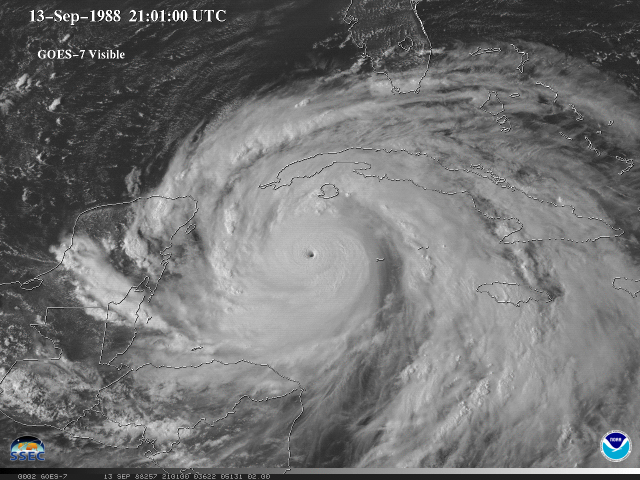
GOES-7 Visible images from September 12-15, 1988. [click to play animation | MP4]
A GOES-7 visible loop over the time period of maximum intensity.
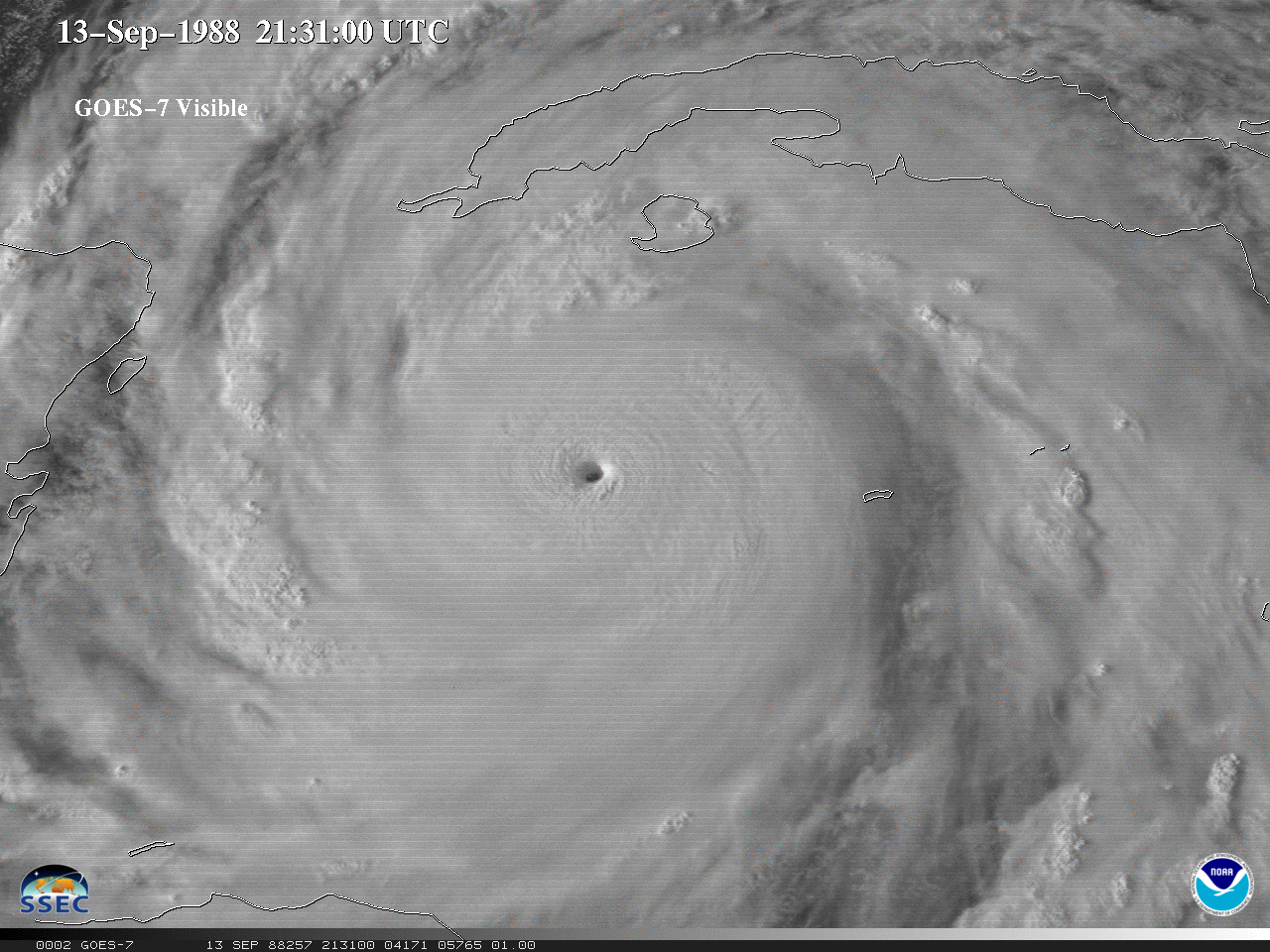
GOES-7 Visible images from September 13, 1988. [click to play animation | MP4]
The highest spatial resolution visible GOES-17 imagery of Hurricane Gilbert. Note the horizontal striping due to the photo-multipler tube technology that was then used.
Infrared window band
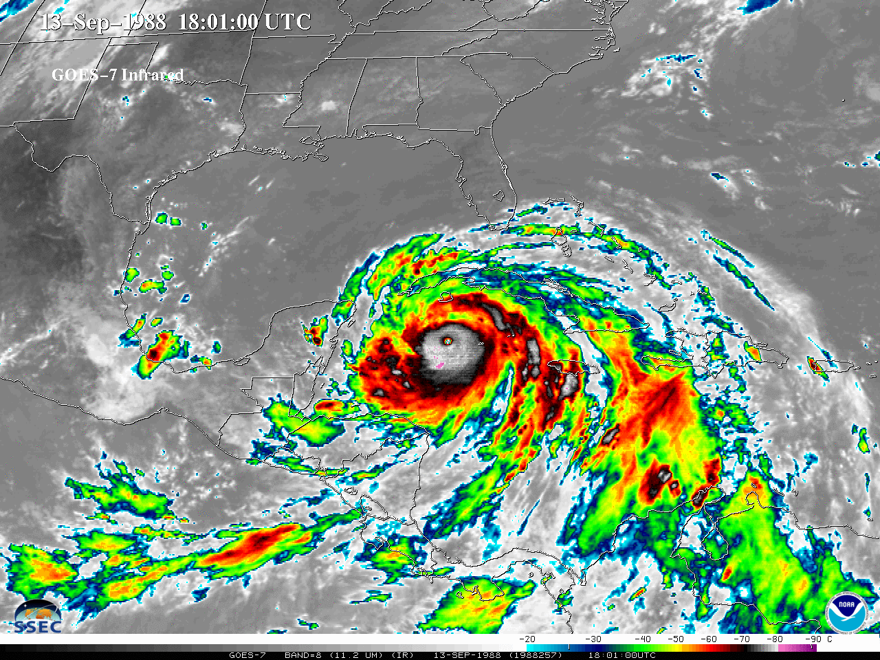
GOES-7 IR images from September 10-18, 1988. [click to play animation | MP4]
Above is a “large-scale” view of the GOES-7 infrared longwave window band covering September 10-18, 1988. Tropical Storm Florence can also be seen near Louisiana, early in the animation.
A more “zoomed in” view:
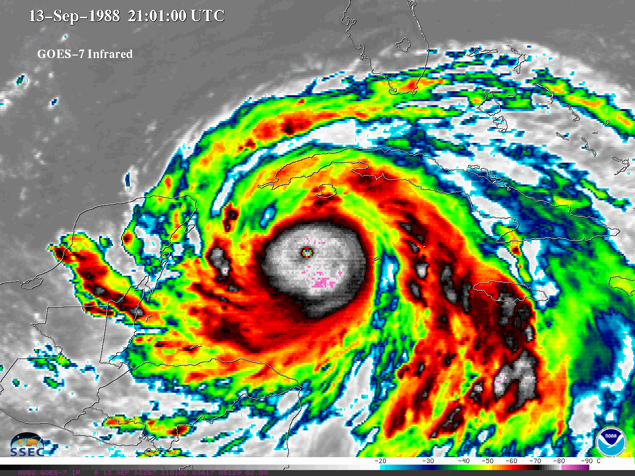
GOES-7 IR images from September 12-14, 1988. [click to play animation | MP4]
All the IR images have been color-enhanced to highlight the coldest temperatures.
Visible and Infrared window bands
A much larger file (18 MB) of the same day/time as above. This is a combined image, with the visible band, along with the cold pixels from the infrared band (color).
Swipe between GOES-7 Visible and Infrared bands.
Fade between GOES-7 Visible and Infrared bands. (Using this software.)
NOAA GOES-7 data are via the University of Wisconsin-Madison SSEC Satellite Data Services.


