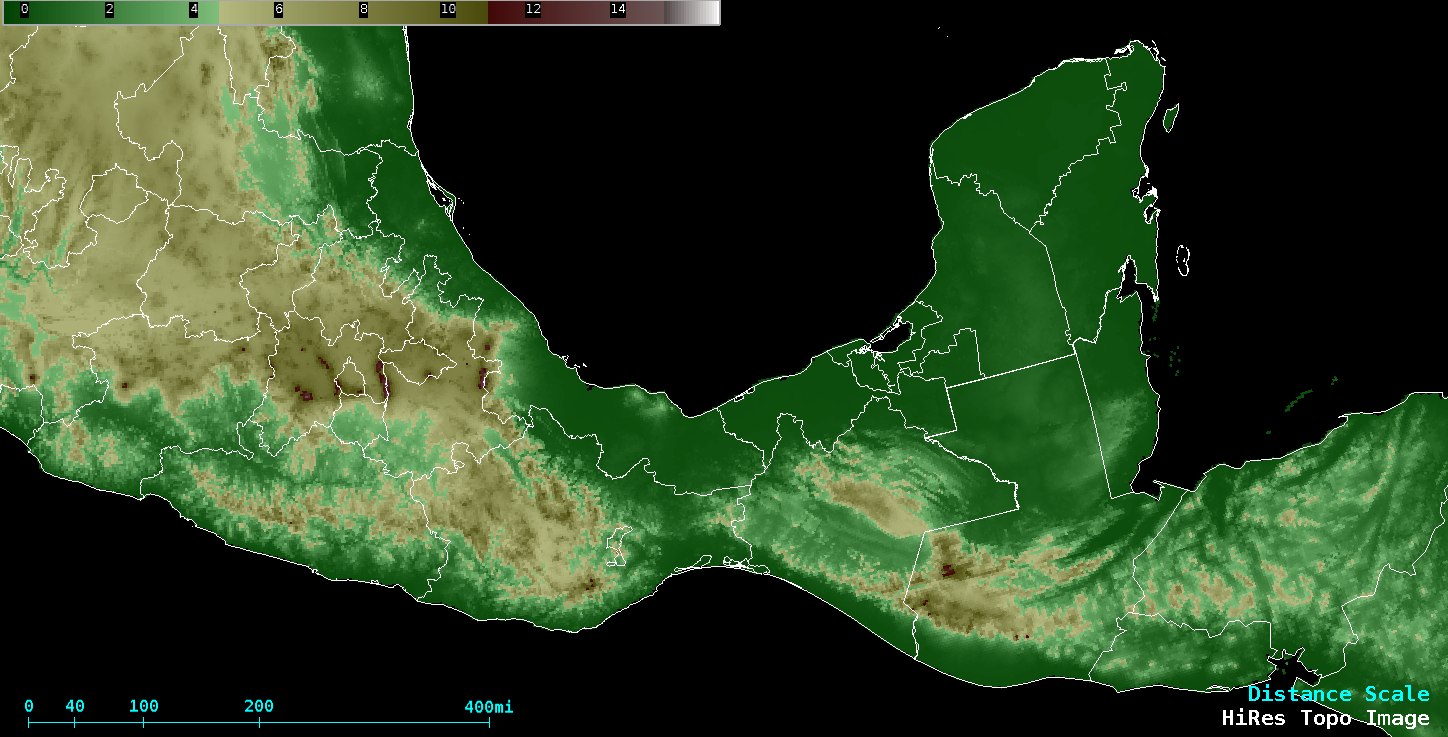
Tehuano gap wind event
![GOES-16 Visible (0.64 µm) images, with plots of surface reports (yellow), ASCAT winds (violet) and surface analyses (cyan) [click to play animation | MP4]](https://cimss.ssec.wisc.edu/satellite-blog/images/2020/02/200227_goes16_visible_ascat_tehuano_anim.gif)
GOES-16 “Red” Visible (0.64 µm) images, with plots of surface reports (yellow), ASCAT winds (violet) and surface analyses (cyan) [click to play animation | MP4]
On a GOES-16 Visible image with plots of available NOAA-20 NUCAPS profiles (below), the location of one profile immediately offshore (Point 1) and another just ahead of the Tehauno cloud arc (Point 2) are highlighted.
![GOES-16 Visible (0.64 µm) image, with plots of available NOAA-20 NUCAPS profiles [click to enlarge]](https://cimss.ssec.wisc.edu/satellite-blog/images/2020/02/g16_vis_nucaps_tehuano-20200227_200017.png)
GOES-16 Visible (0.64 µm) image, with plots of available NOAA-20 NUCAPS profiles [click to enlarge]
![NOAA-20 NUCAPS Temperature (red) and dewpoint (green) profiles for Point 1 and Point 2 [click to enlarge]](https://cimss.ssec.wisc.edu/satellite-blog/images/2020/02/200227_20utc_nucaps_offshore_pre-tehuano_anim.gif)
NOAA-20 NUCAPS Temperature (red) and dewpoint (green) profiles for Point 1 and Point 2 [click to enlarge]
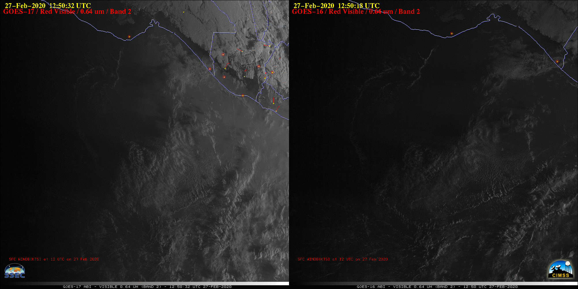
“Red” Visible (0.64 µm) images from GOES-17 (left) and GOES-16 (right) [click to play animation | MP4]
![GOES-16 True Color RGB images [click to play animation | MP4]](https://cimss.ssec.wisc.edu/satellite-blog/images/2020/02/200227_goes16_trueColorRGB_Tehuano_anim.gif)
GOES-16 True Color RGB images [click to play animation | MP4]
![VIIRS True Color RGB images from Suomi NPP and NOAA-20 [click to enlarge]](https://cimss.ssec.wisc.edu/satellite-blog/images/2020/02/200227_19utc_suomiNPP_20utc_noaa20_viirs_trueColor_anim.gif)
VIIRS True Color RGB images from Suomi NPP and NOAA-20 [click to enlarge]