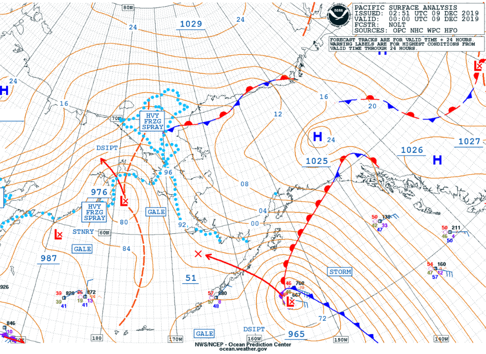
Chinook winds and an atmospheric river affect south-central Alaska

GOES-17 Low-level (7.3 µm), Mid-level (6.9 µm) and Upper-level (6.2 µm) Water Vapor images, along with “Red” Visible (0.64 µm) images [click to play animation | MP4]
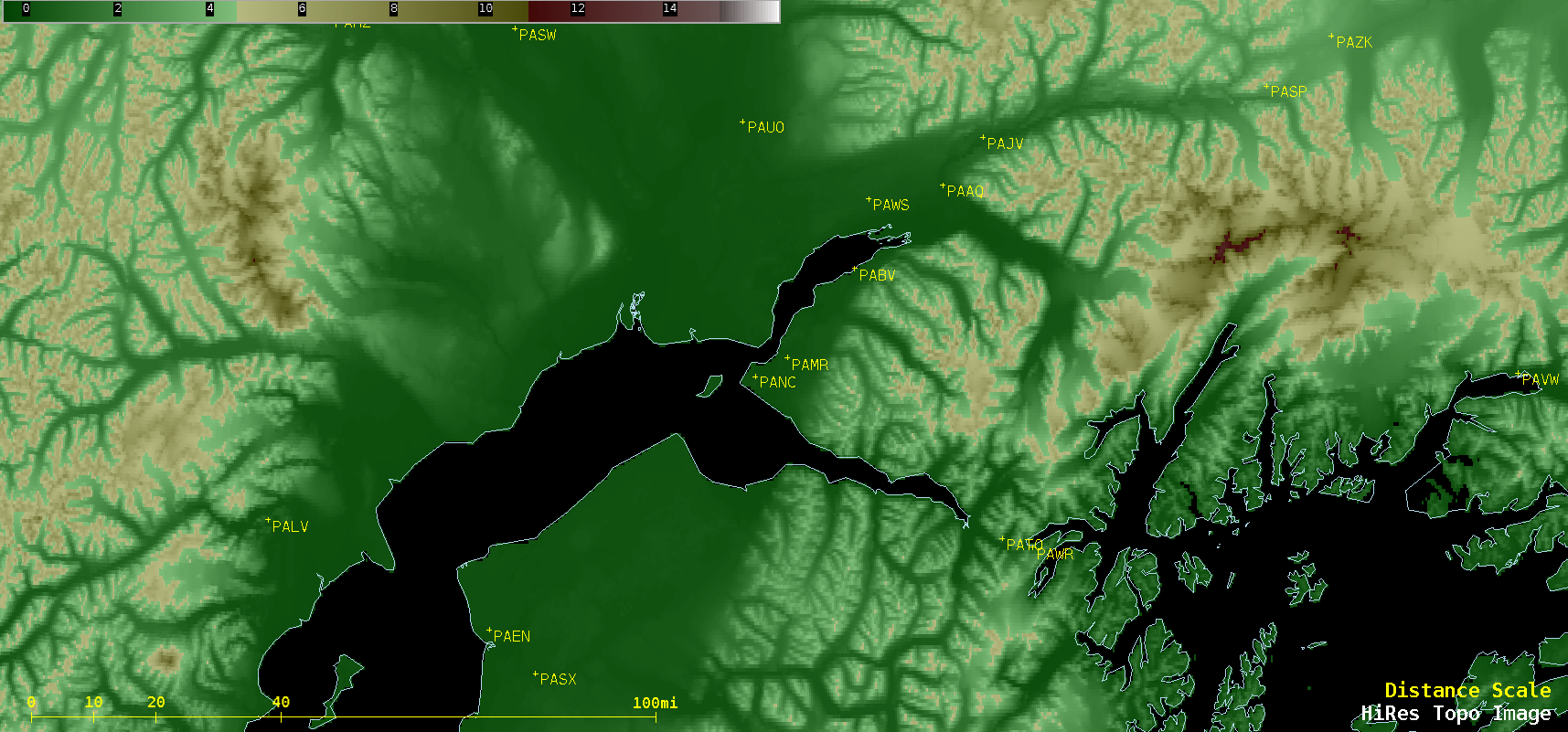
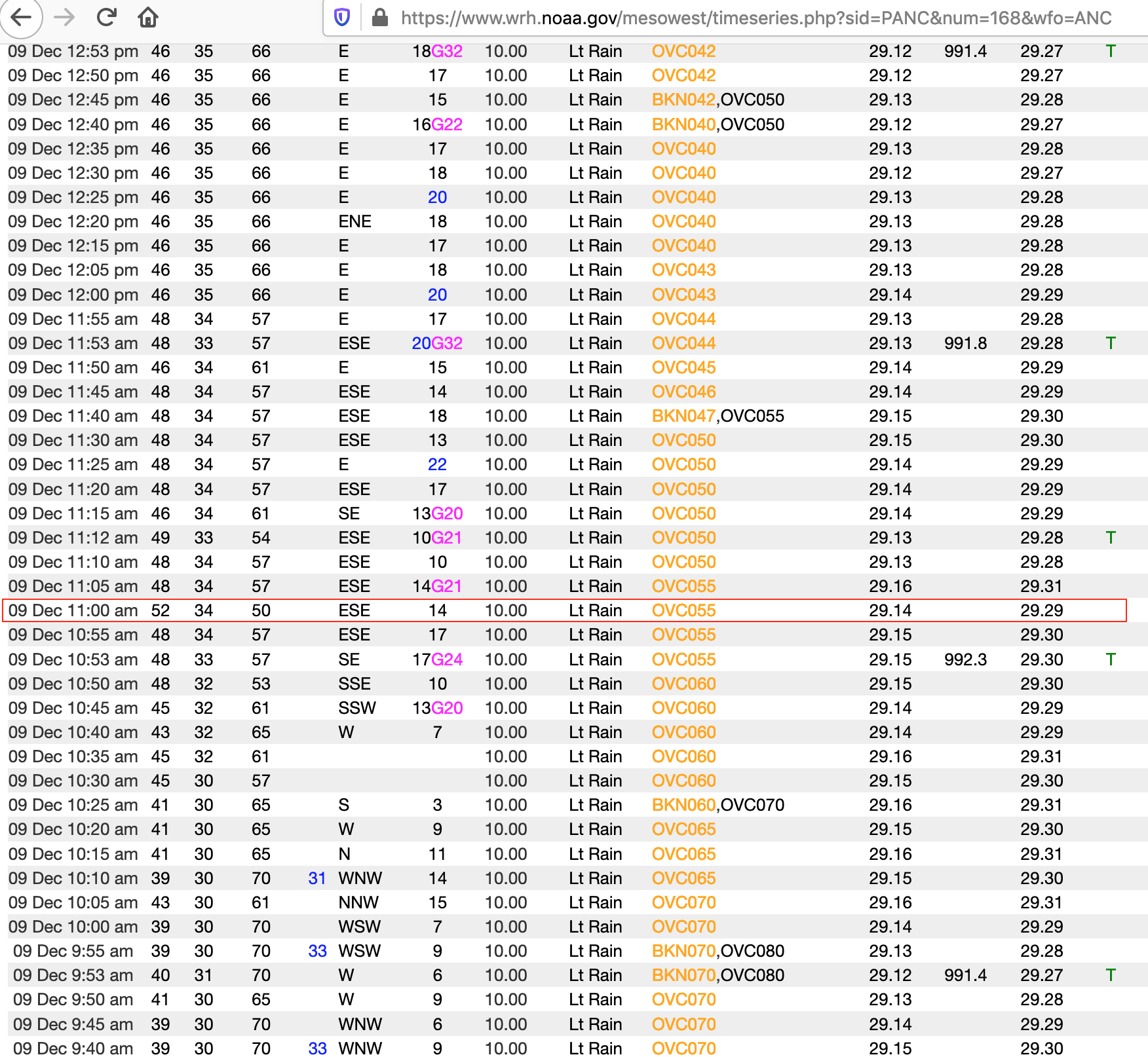
McHugh Creek observing station along the Seward Highway south of Potter Marsh reported a wind gust to 113 mph at 8:50am! The High Wind Warning has been adjusted to account for these higher-than-expected gusts. #AKwx
The warning text can be found here: https://t.co/5Jjc11brlj
— NWS Anchorage (@NWSAnchorage) December 9, 2019
The Storm Force low was also helping to advect an atmospheric river of moisture northward toward south-central Alaska, which was depicted in hourly images of the MIMIC Total Precipitable Water product (below). Heavy rainfall (including 1.30 inch at Homer) resulting from this influx of moisture produced rises in some rivers in the Kenai Peninsula south of Anchorage.
![MIMIC Total Precipitable Water product [click to play animation | MP4]](https://cimss.ssec.wisc.edu/satellite-blog/wp-content/uploads/sites/5/2019/12/191208_191209_mimicTPW_AK_anim.gif)
MIMIC Total Precipitable Water product [click to play animation | MP4]
Rainfall combined w/ snowmelt over the past 24 hrs has resulted in significant rises in small streams/rivers on the #KenaiPeninsula. #AnchorRiver at is expected to rise into Moderate Flood stage tonight. Hwys in the area will start to experience problems with high water. #AKwx pic.twitter.com/lW8vMtRk0b
— NWS Anchorage (@NWSAnchorage) December 10, 2019