Hurricane Fred
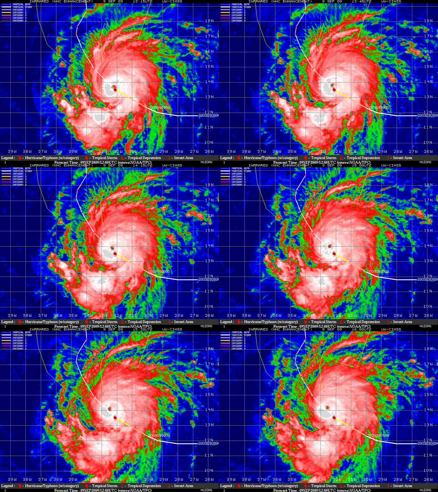
Meteosat-9 IR images from the CIMSS Tropical Cyclones site (above) showed that Hurricane Fred began to exhibit a well-defined eye as it rapidly intensified to a Category 3 storm on 09 September 2009. As noted in the National Hurricane Center discussion:
IT IS QUITE UNUSUAL TO HAVE SUCH A POWERFUL SYSTEM SO FAR EAST IN
THE BASIN AND FRED IS ONLY THE THIRD MAJOR HURRICANE NOTED EAST OF
35W IN THE TROPICAL ATLANTIC OCEAN...AND THE STRONGEST HURRICANE SO
FAR SOUTH AND EAST IN OUR DATA RECORD.  THIS TYPE OF SYSTEM...
HOWEVER...WOULD HAVE BEEN VERY DIFFICULT TO ACCURATELY OBSERVE
BEFORE SATELLITE PICTURES BEGAN IN THE 1960S.
At 12:50 UTC, a “transverse banding” structure was seen on the cold cloud tops surrounding the western periphery of the eyewall region on the Terra MODIS visible image (above) and the 11.0 µm Terra MODIS IR image (below). MODIS IR brightness temperatures were as cold as -74º C within the transverse bands.
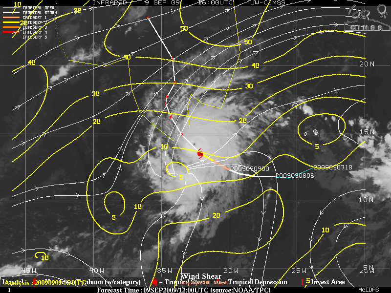
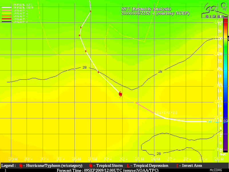
Fred was not expected to undergo much more in the way of intensification, since the cyclone was moving toward increasing values of environmental wind shear and warmer sea surface temperatures (below).


