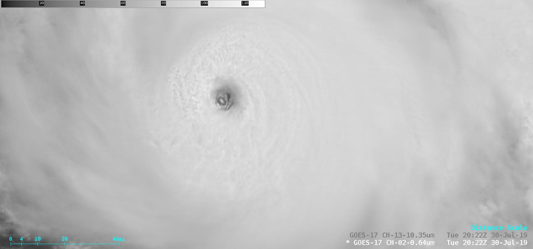
Hurricane Erick in the East Pacific Ocean

GOES-17 “Red” Visible (0.64 µm) and “Clean” Infrared Window (10.35 µm) images [click to play animation | MP4]
Prior to sunrise Erick experienced a period of rapid intensification, as seen in a Advanced Dvorak Technique plot from the CIMSS Tropical Cyclones site (below). Erick was classified as a Category 4 hurricane as of the 18 UTC advisory.
Around the time that the period of rapid intensification was beginning, a NOAA-20 VIIRS Infrared Window (11.45 µm) image viewed using RealEarth (below) revealed a distinct eye around 11 UTC.

![Advanced Dvorak Technique (ADT) plot for Hurricane Erick [click to enlarge]](https://cimss.ssec.wisc.edu/satellite-blog/wp-content/uploads/sites/5/2019/07/erick_adt.gif)
![NOAA-20 VIIRS Infrared Window (11.45 µm) image [click to enlarge]](https://cimss.ssec.wisc.edu/satellite-blog/wp-content/uploads/sites/5/2019/07/190730_10utc_noaa20_viirs_infraredWindow_Erick.png)