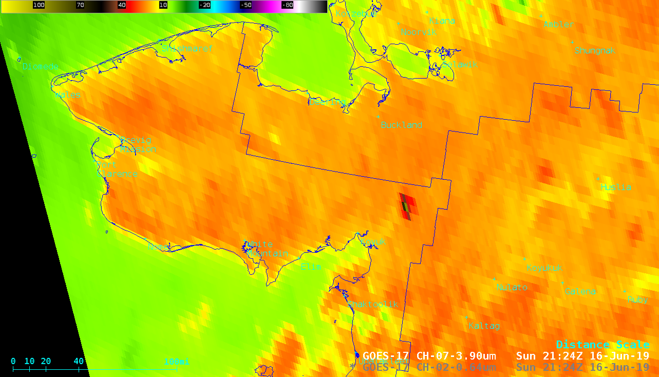
Wildfire in the Seward Peninsula of Alaska

GOES-17 “Red” Visible (0.64 µm) and Shortwave Infrared (3.9 µm) images [click to play animation | MP4]
A sequence of 3 Suomi NPP VIIRS Shortwave Infrared (3.74 µm) and Visible (0.64 µm) images (below) also showed the fire thermal anomaly (black to red pixels) and the smoke plume.
![Suomi NPP VIIRS Shortwave Infrared (3.74 µm) and Visible (0.64 µm) images, with surface observations plotted in yellow [click to enlarge]](https://cimss.ssec.wisc.edu/satellite-blog/wp-content/uploads/sites/5/2019/06/190616_suomiNPP_viirs_shortwaveInfrared_visible_AK_wildfire_anim.gif)
Suomi NPP VIIRS Shortwave Infrared (3.74 µm) and Visible (0.64 µm) images, with surface observations plotted in yellow [click to enlarge]


![NOAA-20 VIIRS True Color RGB and Infrared Window (11.45 µm) images [click to enlarge]](https://cimss.ssec.wisc.edu/satellite-blog/wp-content/uploads/sites/5/2019/06/190616_15utc_noaa20_viirs_trueColor_infraredWindow_AK_wildfire_smoke_anim.gif)