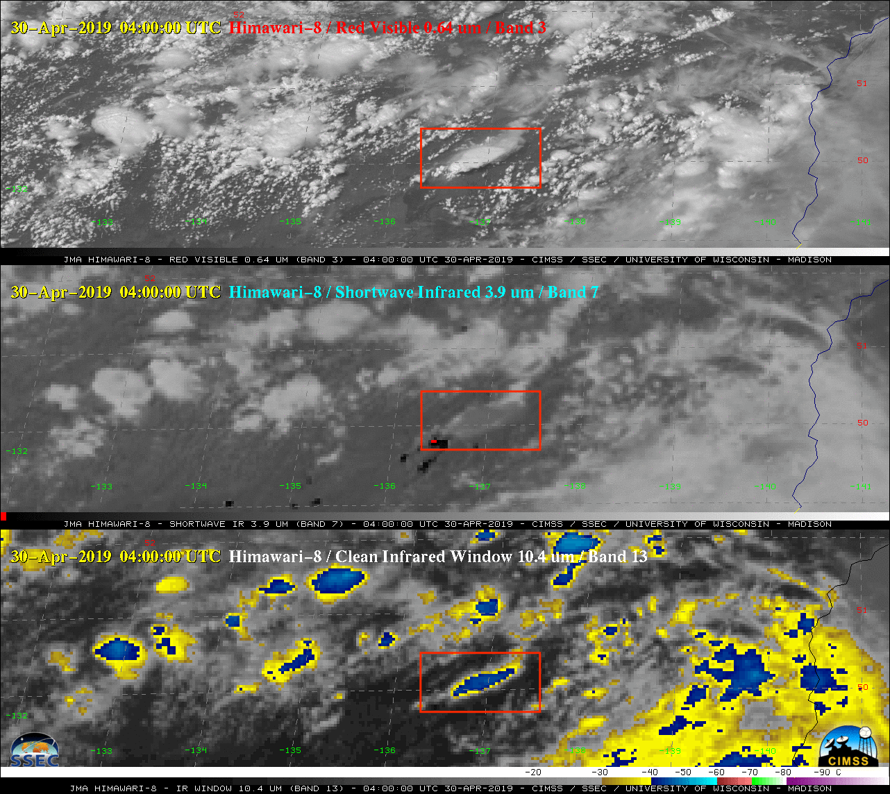
Pyrocumulonimbus cloud in eastern Russia

Himawari-8 “Red” Visible (0.64 µm, top), Shortwave Infrared (3.9 µm, middle) and “Clean” Infrared Window (10.4 µm, bottom) [click to play animation | MP4]
A faster animation revealed the rapid northeastward run of the large pyroCb-producing fire on Shortwave Infrared imagery.
![VIIRS True Color RGB and Infrared Window (11.45 µm) images from NOAA-20 and Suomi NPP [click to enlarge]](https://cimss.ssec.wisc.edu/satellite-blog/wp-content/uploads/sites/5/2019/04/190430_noaa20_suomiNPP_viirs_truecolor_infraredWindow_Russia_pyroCb_anim.gif)
VIIRS True Color RGB and Infrared Window (11.45 µm) images from NOAA-20 and Suomi NPP [click to enlarge]
Here’s the aerosol index from N20 OMPS pic.twitter.com/x3T12mi5ml
— Colin Seftor (@colin_seftor) April 30, 2019

