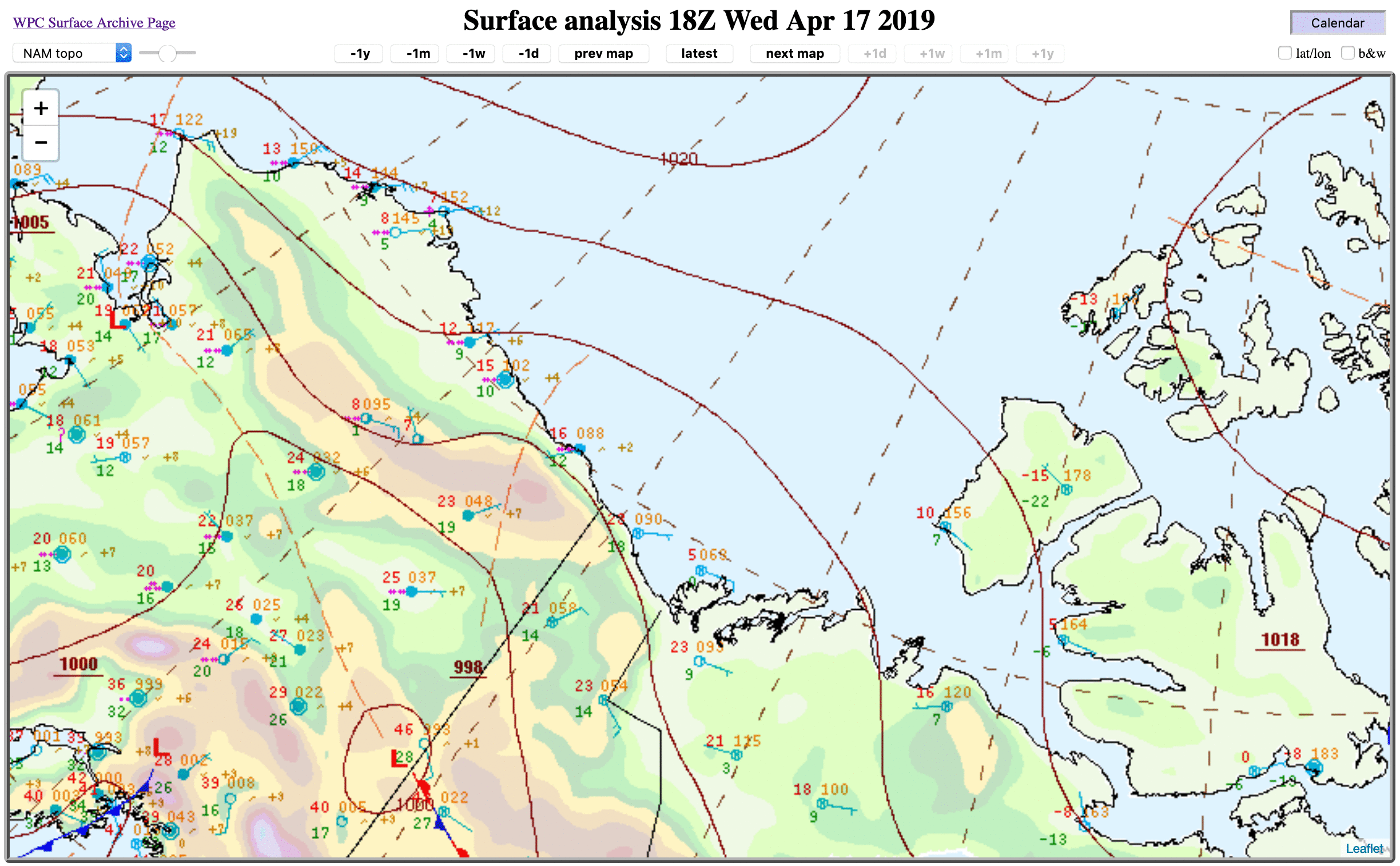
Mesoscale disturbance over northern Alaska

GOES-17 “Red” Visible (0.64 µm) and Low-level Water Vapor (7.3 µm) images [click to play animation | MP4]
Light to moderate snow was reported at Arctic Village as this mesoscale disturbance moved over the area (below).
![Time series of surface weather observation data from Arctic Village [click to enlarge]](https://cimss.ssec.wisc.edu/satellite-blog/wp-content/uploads/sites/5/2019/04/190417_PARC_SFCMG.GIF)
Time series of surface weather observations from Arctic Village [click to enlarge]
![Suomi NPP VIIRS Day/Night Band (0.7 µm) images at 2131 and 2313 UTC [click to enlarge]](https://cimss.ssec.wisc.edu/satellite-blog/wp-content/uploads/sites/5/2019/04/190417_suomiNPP_viirs_dayNightBand_AK_anim.gif)
Suomi NPP VIIRS Day/Night Band (0.7 µm) images at 2131 and 2313 UTC [click to enlarge]
![Suomi NPP VIIRS Infrared Window (11.45 µm) images at 2131 and 2313 UTC [click to enlarge]](https://cimss.ssec.wisc.edu/satellite-blog/wp-content/uploads/sites/5/2019/04/190417_suomiNPP_viirs_infraredWindow_AK_anim.gif)
Suomi NPP VIIRS Infrared Window (11.45 µm) images at 2131 and 2313 UTC [click to enlarge]
![3-km NAM 500 hPa height, wind and absolute vorticity [click to enlarge]](https://cimss.ssec.wisc.edu/satellite-blog/wp-content/uploads/sites/5/2019/04/190417_nam-hires_500hPa_vorticity_height_AK_anim.gif)
3-km NAM 500 hPa height, wind and absolute vorticity [click to enlarge]
![3-km NAM Mean Sea Level Pressure and 1-hour accumulated precipitation [click to enlarge]](https://cimss.ssec.wisc.edu/satellite-blog/wp-content/uploads/sites/5/2019/04/190417_nam-hires_1hour_precipitation_AK_anim.gif)
3-km NAM Mean Sea Level Pressure and 1-hour accumulated precipitation [click to enlarge]