Tropical Storm Bill
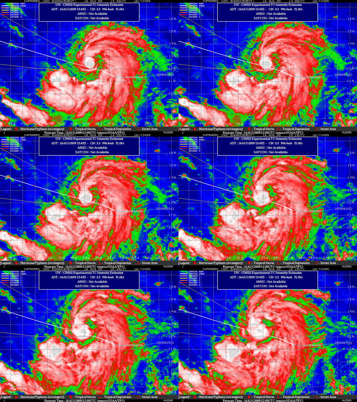
GOES-12 IR images from the CIMSS Tropical Cyclones site (above) showed that Tropical Storm Bill began to exhibit a well-defined curved banding structure during the early daytime hours on 16 August 200. In addition, the IR imagery displayed the formation of a large convective burst near the center of the circulation.
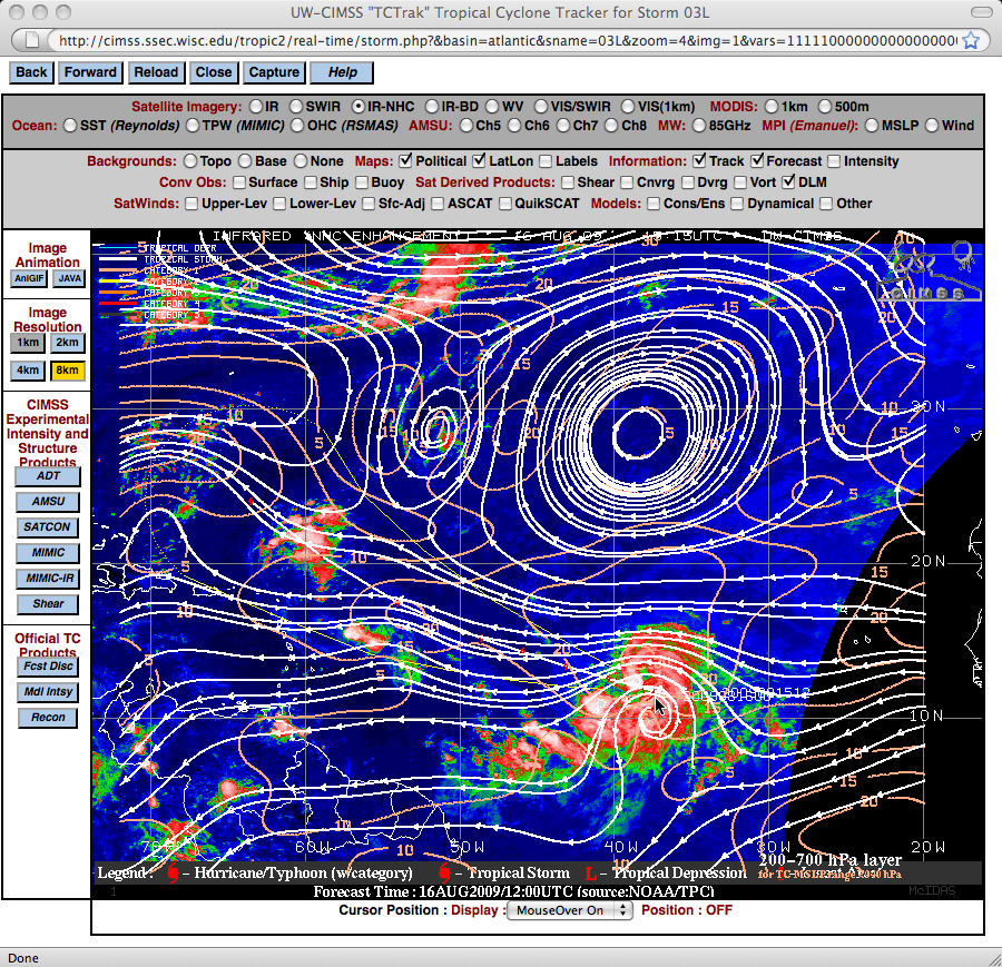
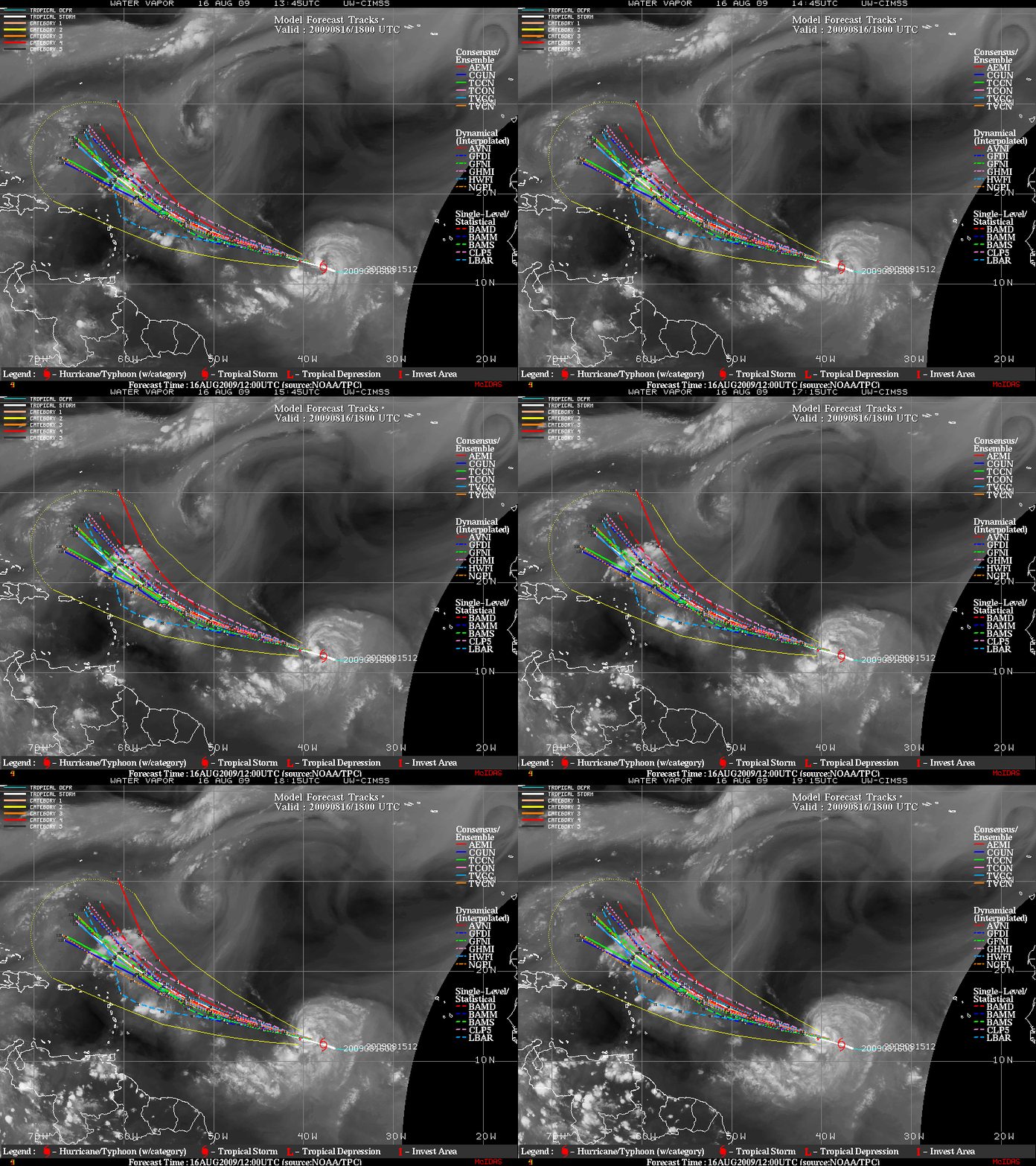
The CIMSS deep layer mean winds product overlaid on a GOES-12 IR image (above) as well as an animation of GOES-12 water vapor images (below) indicated that there was a large subtropical ridge of high pressure in place to the north of Bill, which would act to keep the storm moving on a west-northwesterly path for several days.


