Aircraft hole punch and cloud dissipation features over Illinois, Indiana and Ohio
![Terra MODIS true-color and false-color RGB images [click to enlarge]](https://cimss.ssec.wisc.edu/satellite-blog/wp-content/uploads/sites/5/2017/12/171221_terra_modis_truecolor_falsecolor_IL_IN_hole_punch_clouds_anim.gif)
Terra MODIS True-color and False-color RGB images [click to enlarge]
![GOES-16 "Red" Visible (0.64 µm) and Near-Infrared "Snow/Ice" (1.61 µm) images over Illinois/Indiana [click to play MP4 animation]](https://cimss.ssec.wisc.edu/satellite-blog/wp-content/uploads/sites/5/2017/12/G16_VIS_NIR_IL_IN_HOLE_PUNCH_21DEC2017_480x1280_B25_2017355_163302_0002PANELS_00184.GIF)
GOES-16 “Red” Visible (0.64 µm) and Near-Infrared “Snow/Ice” (1.61 µm) images over Illinois/Indiana [click to play MP4 animation]
![GOES-16 "Red" Visible (0.64 µm) and Near-Infrared "Snow/Ice" (1.61 µm) images over Indiana/Ohio [click to play MP4 animation]](https://cimss.ssec.wisc.edu/satellite-blog/wp-content/uploads/sites/5/2017/12/G16_VIS_NIR_IN_OH_HOLE_PUNCH_21DEC2017_480x1280_B25_2017355_180202_0002PANELS_00273.GIF)
GOES-16 “Red” Visible (0.64 µm) and Near-Infrared “Snow/Ice” (1.61 µm) images over Indiana/Ohio [click to play MP4 animation]
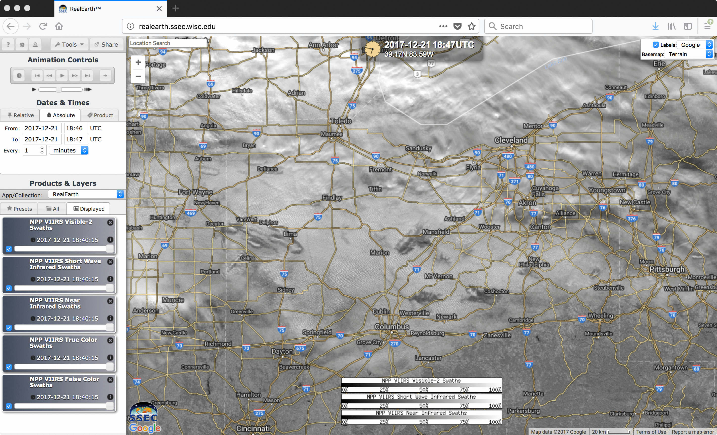
Suomi NPP VIIRS “Red” Visible (0.64 µm), Shortwave Infrared (3.9 µm), Near-Infrared “Snow/Ice” (1.61 µm), True-color and False-color RGB images [click to enlarge]