Detection of low clouds on “Cirrus band” imagery
![GOES-16 Visible (0.64 µm, top), Cirrus (1.37 µm, middle) and Infrared Window (10.3 µm, bottom) images [click to play animation]](https://cimss.ssec.wisc.edu/satellite-blog/wp-content/uploads/sites/5/2017/10/171029_goes16_visible_cirrus_infrared_Gulf_of_Mexico_anim.gif)
GOES-16 Visible (0.64 µm, top), Cirrus (1.37 µm, middle) and Infrared Window (10.3 µm, bottom) images [click to play animation]
The ABI “Cirrus” (1.37 µm) band is centered in a strong water vapor absorption spectral region — therefore it does not routinely sense the lower troposphere, where there is usually substantial amounts of water vapor. Hence, its main application is the detection of higher-altitude cirrus cloud features.
However, in areas of the atmosphere characterized by low amounts of total precipitable water, the Cirrus band can sense clouds (and other features, such as blowing dust) in the lower troposphere. Such was the case on 29 October 2017, when a ribbon of dry air resided over the northern Gulf of Mexico in the wake of a strong cold frontal passage; low-level stratocumulus clouds were very apparent on GOES-16 Cirrus band images (above). Also of note: cloud features associated with Tropical Storm Philippe could be seen east of Florida.
The three GOES-16 Water Vapor bands (Upper-level 6.2 µm, Mid-level 6.9 µm and Lower-level 7.3 µm) highlighted the pocket of dry air that was moving across the northern Gulf of Mexico on that day (below).
![GOES-16 Upper-level Water Vapor (6.2 µm, top), Mid-level Water Vapor (6.9 µm, middle) and Lower-level Water Vapor (7.3 µm, bottom) images [click to play animation]](https://cimss.ssec.wisc.edu/satellite-blog/wp-content/uploads/sites/5/2017/10/171029_goes16_water_vapor_Gulf_of_Mexico_anim.gif)
GOES-16 Upper-level Water Vapor (6.2 µm, top), Mid-level Water Vapor (6.9 µm, middle) and Lower-level Water Vapor (7.3 µm, bottom) images [click to play animation]
In addition, the VIIRS instrument — on Suomi NPP, and the upcoming JPSS series — has a 1.37 µm Cirrus band.
![Terra MODIS visible (0.65 µm), Cirrus (1.375 µm) and Infrared Window (11.0 µm) images [click to enlarge]](https://cimss.ssec.wisc.edu/satellite-blog/wp-content/uploads/sites/5/2017/10/171029_1619utc_terra_modis_visible_cirrus_infrared_anim.gif)
Terra MODIS visible (0.65 µm), Cirrus (1.375 µm) and Infrared Window (11.0 µm) images [click to enlarge]
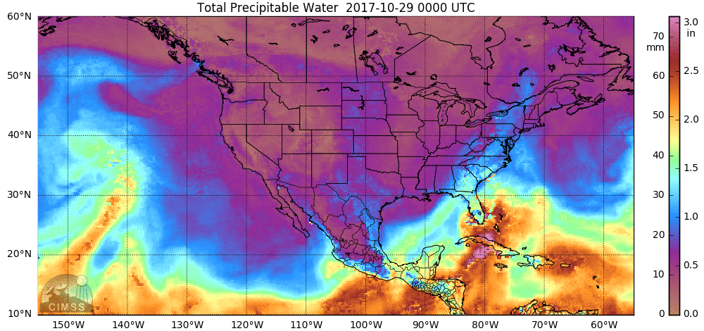
MIMIC Total Precipitable Water images [click to play animation]