Tropical Depression Nine in the Atlantic Ocean
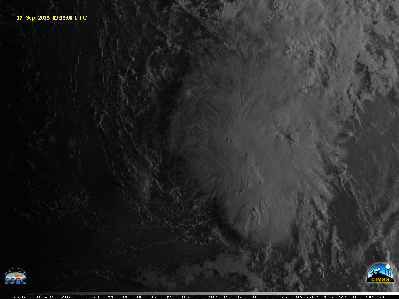
![GOES-13 Visible (0.63 µm) images [click to play animation]](https://cimss.ssec.wisc.edu/satellite-blog/wp-content/uploads/sites/5/2015/09/GOES13_VIS_17SEP2015anim.gif)
GOES-13 Visible (0.63 µm) images [click to play animation]
![Autodetected Overshooting Tops as a function of time, from GOES-13 data [click to enlarge]](https://cimss.ssec.wisc.edu/satellite-blog/wp-content/uploads/sites/5/2015/09/al092015_PG_OT_line_plot.png)
Autodetected Overshooting Tops as a function of time, from GOES-13 data [click to enlarge]
![Metop-B ASCAT winds and GOES-13 10.7 µm Brightness Temperatures, ~1315 UTC [click to enlarge]](https://cimss.ssec.wisc.edu/satellite-blog/wp-content/uploads/sites/5/2015/09/ASCAT_IR_1315UTC_17Sept2015.png)
Metop-B ASCAT winds and GOES-13 10.7 µm Brightness Temperatures, ~1315 UTC [click to enlarge]
![MIMIC Total Precipitable Water for the 72 hours ending 1400 UTC 17 September 2015 [click to enlarge]](https://cimss.ssec.wisc.edu/satellite-blog/wp-content/uploads/sites/5/2015/09/MIMICTPW_Ending17Sept2015latest72hrs.gif)
MIMIC Total Precipitable Water for the 72 hours ending 1400 UTC 17 September 2015 [click to enlarge]
![Projected Path of Tropical Depression Nine superimposed on SST and Wind Shear [click to enlarge]](https://cimss.ssec.wisc.edu/satellite-blog/wp-content/uploads/sites/5/2015/09/TD9_Path_SST_Sheartoggle.gif)
Projected Path of Tropical Depression Nine superimposed on SST and Wind Shear [click to enlarge]