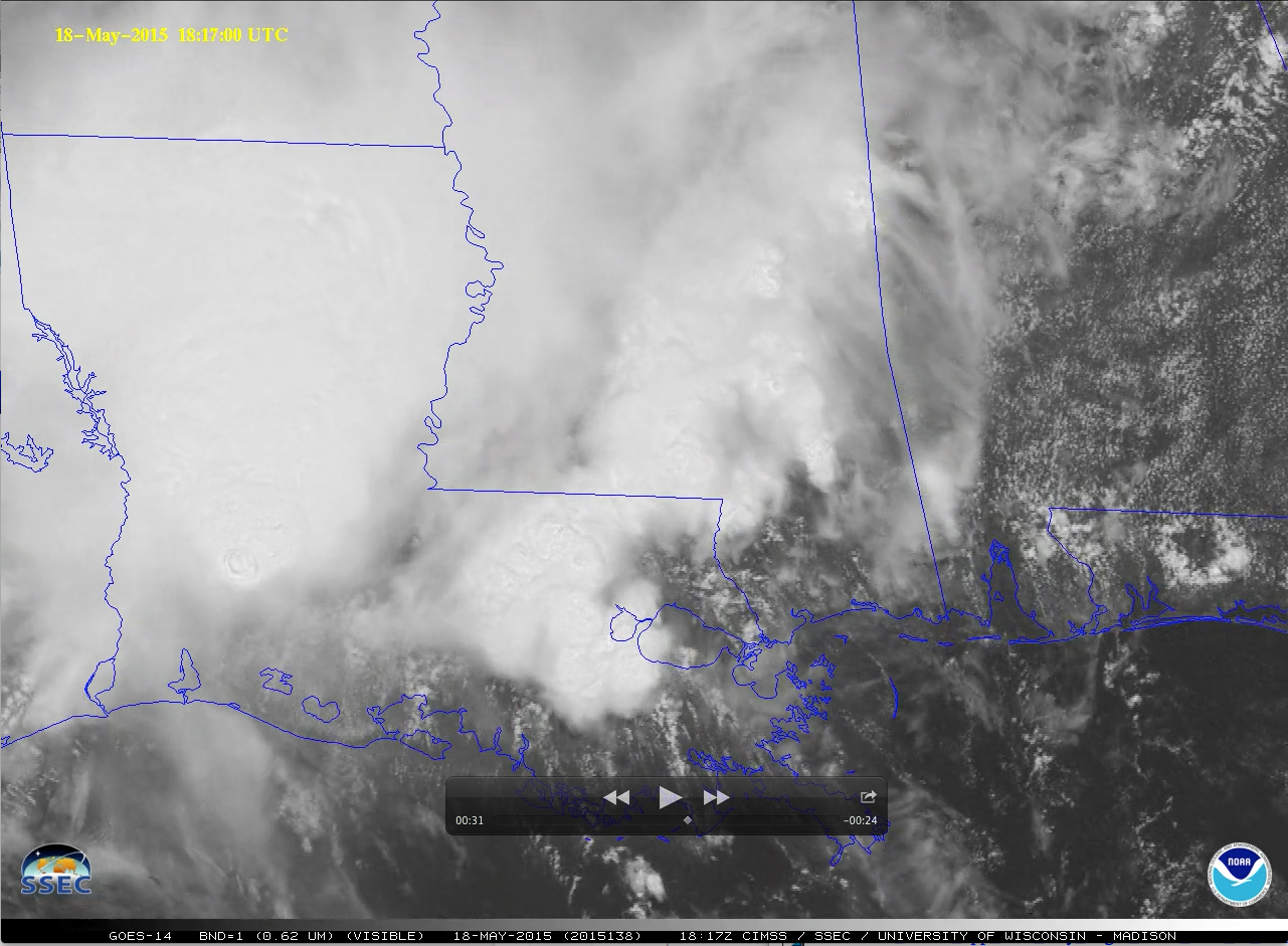
GOES-14 in SRSO-R Scanning
GOES-14 is producing imagery at 1-minute intervals as part of Super-Rapid Scan Operations for GOES-R (SRSO-R). Sectors that are scanned change each day and are determined by likely weather events. The animation above, in the southwest corner of the Monday May 18 sector shows strong convection over northern Louisiana. (A similar animation in mp4 format is available here (YouTube)) A benefit of 1-minute imagery is that it can capture the entire lifecycle of overshooting tops, cloud-top features that typically form and decay in less than 10 minutes.GOES-R is scheduled to launch in March 2016. It will have the capability to provide routine 1-minute imagery over mesoscale-sized domains such as those sampled in the next three weeks by GOES-14. Real-time GOES-14 SRSO imagery is available through the SSEC RealEarth web map server and the GOES-14 SRSOR Imagery site.
Rapid Scan Operations allow the eye to distinguish between upper- and lower-level clouds that typically move at different speeds or in different directions. In the animation below (similar mp4 available here), high clouds over western Pennsylvania are moving over dissipating river fog in the central part of the state. Upper level clouds over southern New York are moving southward; low clouds are moving westward behind a back-door cold front: winds at White Plains, Newark, Trenton (and other stations) have all switched to easterly.
Another feature of interest was a thin layer of lake fog that was streaming northward across Lake Michigan during the morning hours, as seen in the animation below (also available as an mp4 movie file). Note the appearance of an undular bore propagating southeastward through the northern portion of the fog at the end of the animation; this may have been caused by an internal reflection of the strong southerly flow impinging upon the rugged southern coastline of the Upper Peninsula of Michigan. According to buoy data and the Terra MODIS Sea Surface Temperature product, Lake Michigan waters were still in the upper 30s to low 40s F — it was the pre-cold-frontal southerly flow of much warmer air with dew point values in the 50s and 60s F that led to the formation of the lake fog. Rounds of deep convection persisted over parts of the Gulf Coast states during the day, which can be seen in the sunrise-to-sunset animation of GOES-14 visible images below (also available as an MP4 movie file). In Louisiana, some of these storms produced heavy rainfall and flash flooding, with a few water rescues necessary.

