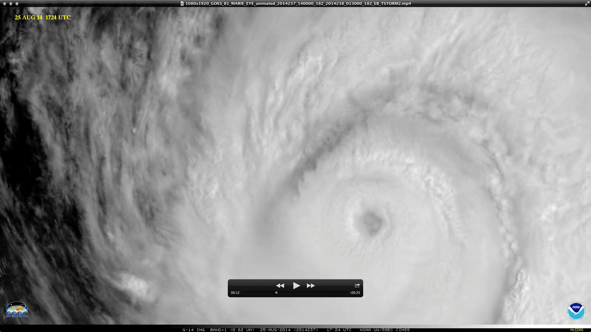
GOES-14 SRSOR: Mesovortices in the eye of Hurricane Marie
The GOES-14 satellite was in Super Rapid Scan Operations for GOES-R (SRSOR) mode, providing 1-minute interval images of Category 4 intensity Hurricane Marie over the East Pacific Ocean on 25 August 2014. Even though the eye was cloudy, the 1-minute imagery revealed a number of mesovortices circulating within the eye of Hurricane Marie (above; click image to play YouTube video). Note: the YouTube video is best viewed in Full Screen mode, and clicking on the “Gear” icon to select “1080p HD”.
On the previous day, the eye was less cloudy and mesovortices were more easily seen on GOES-15 0.63 µm visible channel images (below; click to play Animated GIF); however, the GOES-15 images were only available at the routine 15-minute interval, which made tracking the evolution and motion of the mesovortices more difficult. On this day (24 August) Hurricane Marie had rapidly intensified to a Category 5 storm (plot of CIMSS ADT).


