Fog over Lake Superior
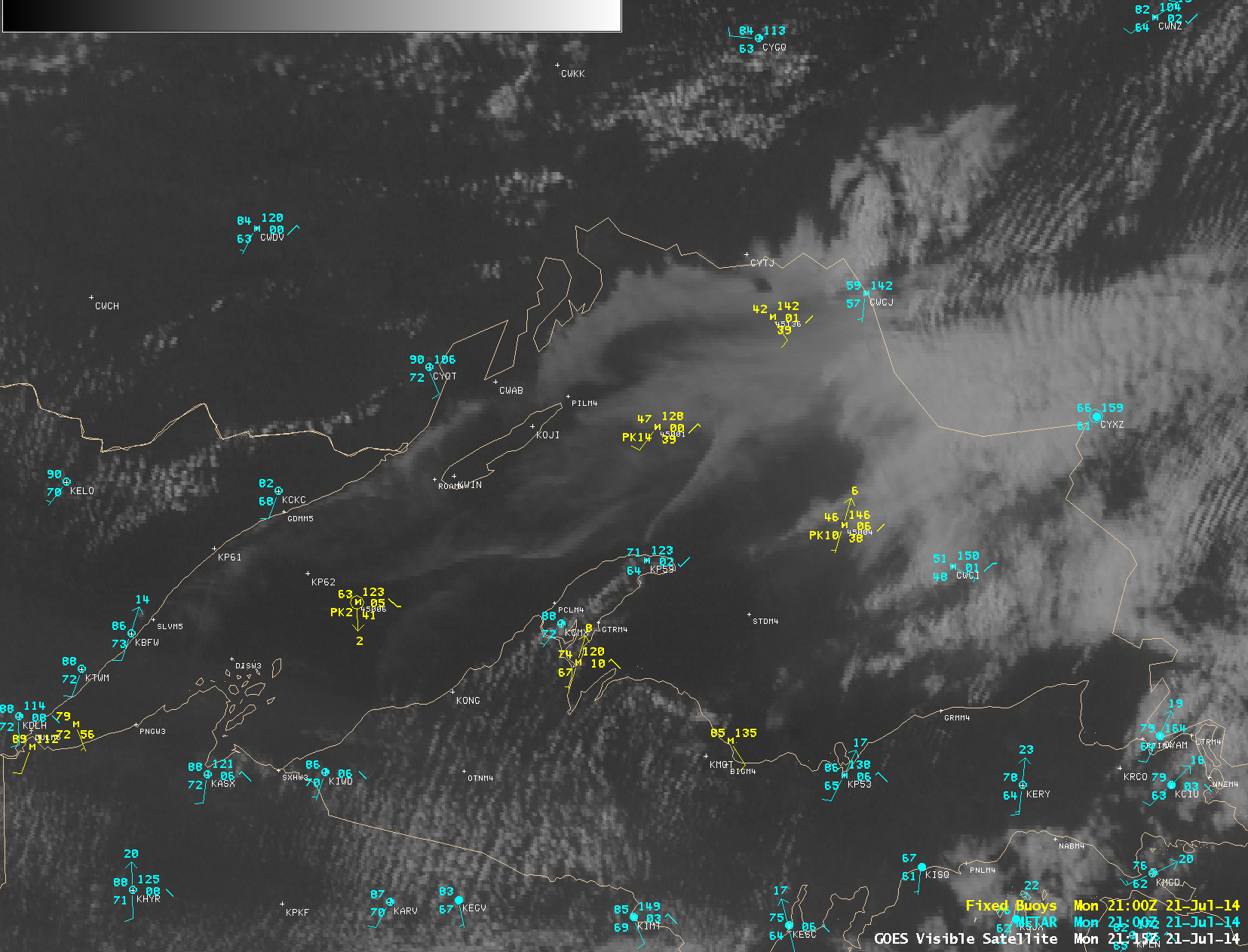
The southerly flow of warm, moist air over the still-cold waters of Lake Superior on 21 July 2014 led to the formation of some interesting lake fog patterns, as seen in McIDAS images of GOES-13 0.63 µm visible channel data (above; click image to play animation; also available as an MP4 movie file). The images above are shown in their native GOES-13 satellite projection.
A similar animation of AWIPS images of re-mapped GOES-13 visible channel data with overlays of METAR surface reports and buoy reports (below; click image to play animation) showed that three of the northern Lake Superior buoys were reporting a water temperature of 38 to 39º F. As far north as Thunder Bay, Ontario (CYQT), air temperatures exceeded 90º F and the dew point exceeded 70º F.
A Terra MODIS Sea Surface Temperature (SST) product at 17:37 UTC (below) revealed that parts of the western half of Lake Superior exhibited SST values in the 40s F (cyan to blue color enhancement).
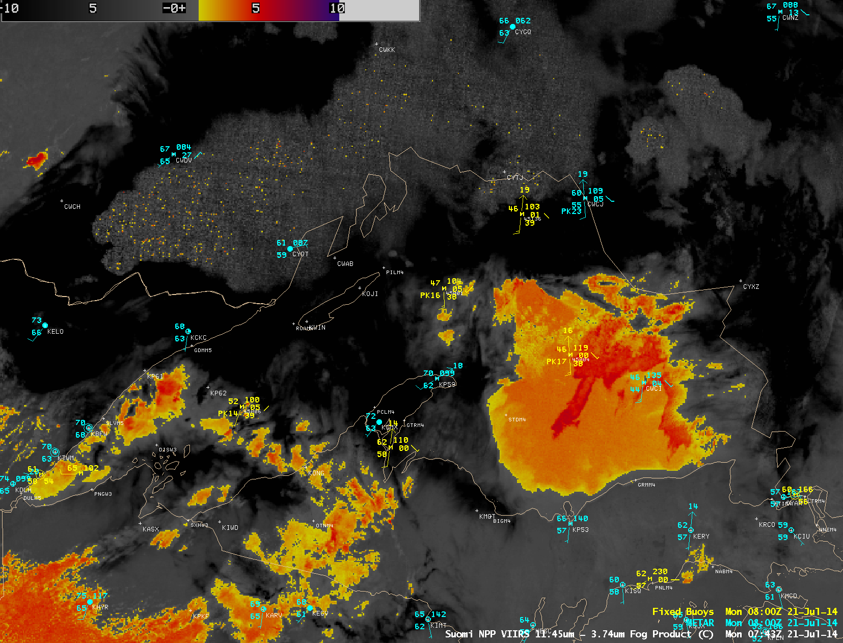
During the overnight hours preceding the images shown above, a Suomi NPP VIIRS IR brightness temperature difference “fog/stratus product” image at 07:43 UTC (below) showed a signal of widespread fog/stratus (yellow to red color enhancement) across much of the eastern half of Lake Superior.


