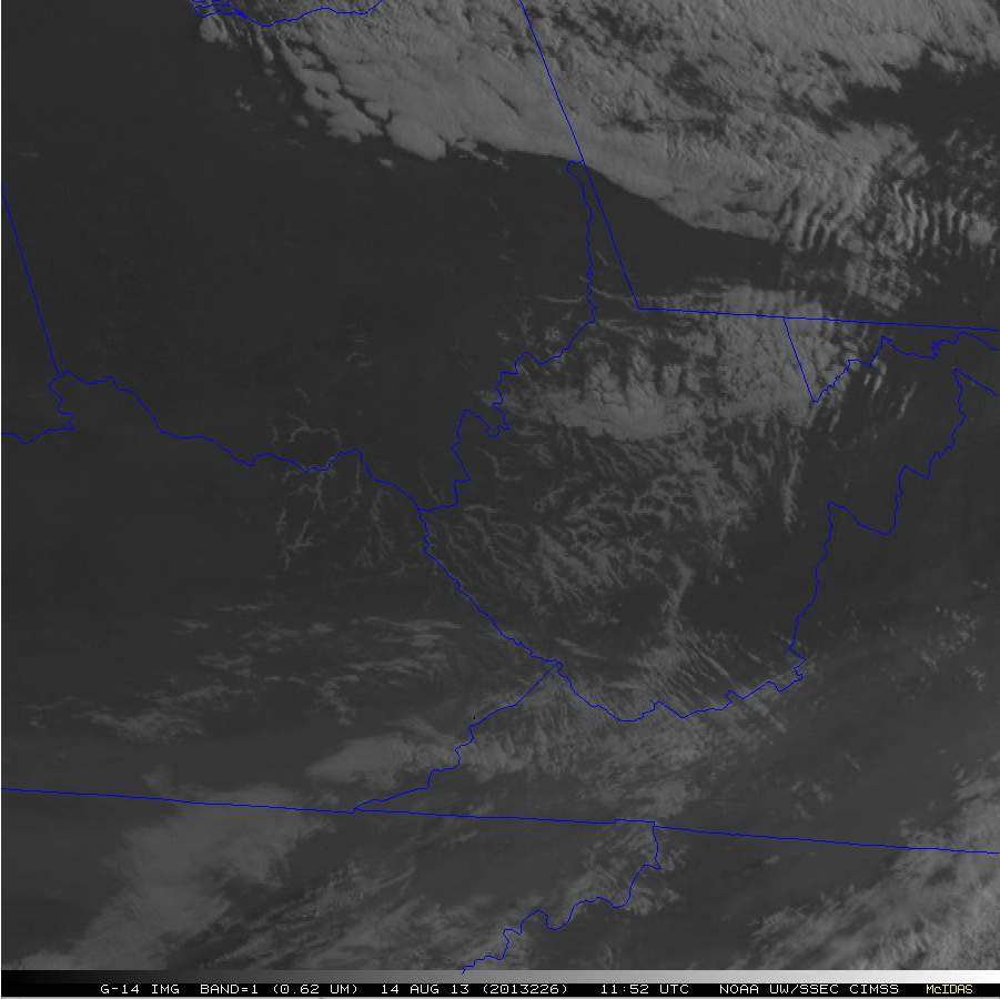
GOES-14 Super Rapid Scan images of valley fog in West Virginia
An animation of 0.63 µm visible channel images (above; click image to play animation; also available as a QuickTime movie) from the GOES-14 satellite (which was in SRSO-R mode, providing images at 1-minute intervals) captured the dissipation of nocturnal valley fog across West Virginia and parts of adjacent states on the morning of 14 August 2013. The haziness seen across the southern quarter of the images was due to a layer of smoke aloft, transported from large fires which had been burning in the northwestern US.
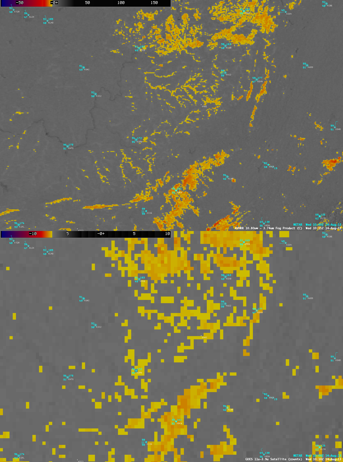
About an hour prior to the first 11:20 UTC GOES-14 visible image above, a comparison of 1-km resolution POES AVHRR and 4-km resolution GOES-13 IR brightness temperature difference “Fog/stratus product” images (below) demonstrated the advantage of higher spatial resolution for the accurate detection of such small-scale features at night (before visible imagery becomes available). Map outlines have been removed, but the image is centered over West Virginia; the darker signature of the Ohio River (winding from northeast to southwest) can best be seen in the POES AVHRR image.


