Record rainfall in San Juan, Puerto Rico
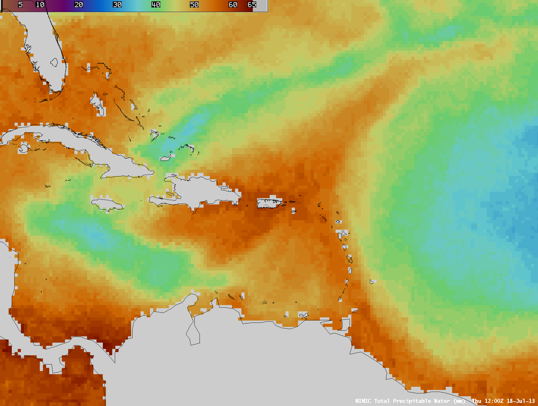
Abundant moisture associated with a strong tropical wave (18 UTC surface analysis) fueled strong thunderstorms which produced record-setting rainfall at San Juan, Puerto Rico on 18 July 2013. AWIPS images of the MIMIC Total Precipitable Water (TPW) product (above; click image to play animation) showed the westward motion of the tropical wave, which exhibited TPW values greater than 50 mm or 2.0 inches (darker orange color enhancement) over a broad area — in fact, TPW values in the vicinity of Puerto Rico reached 60 mm or 2.4 inches on 18 July. Much drier air with significantly lower TPW values (30-35 mm or 1.2-1.4 inches, cyan to darker blue color enhancement) followed in the wake of the tropical wave passage; this dry air was likely the leading edge of a westward pulse of the Saharan Air Layer or SAL (real-time SAL images).
McIDAS images of 4-km resolution GOES-13 10.7 µm IR channel data (below; click image to play animation) showed numerous clusters of thunderstorms with very cold cloud top IR temperatures — IR brightness temperature values were as cold as -82º C (violet color enhancement) at 17:10 UTC.The location of San Juan is marked by the ‘*‘ symbol on the images.The GOES-13 satellite had been placed into Rapid Scan Operations (RSO) mode, providing images as frequently as every 5-10 minutes.
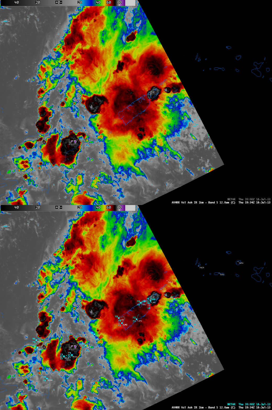
A 1-km resolution POES AVHRR 12.0 µm IR image (below) showed a strong thunderstorm beginning to move over the far eastern end of Puerto Rico at 19:35 UTC.


