Cold temperatures in Alaska
A NOAA-16 AVHRR 11.0 µm IR image (above) showed cold brightness temperatures of -10º to -20º C (violet colors) across much of northwestern Alaska on 30 September 2008. The coldest IR brightness temperatures of around -27º C or -17º F (darker blue colors) corresponded to the higher elevations of the Brooks Range which runs from west to east across northern Alaska. The coldest minimum temperature reported in Alaska that morning was -13º C (+9º F) at Anatuvuk Pass (station identifier PAKP, which had a temperature of +16º F at 16 UTC), but the coldest brightness temperatures on the IR image were located well to the west of that station. Two days earlier, Alaska reported their first temperature colder than -18º C (0º F) this season: both Chalkyitsik and Denali National Park registered a low temperature of -1º F on the morning of 28 September.
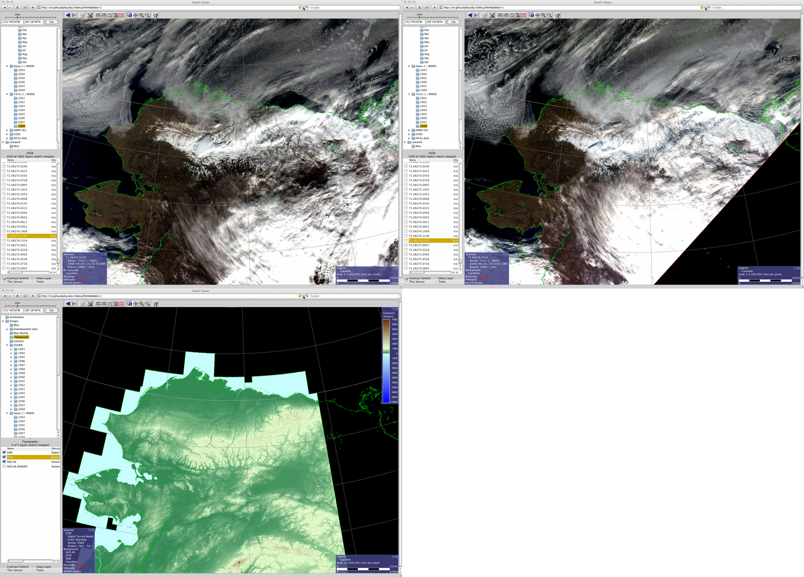
A comparison of MODIS true color images and topography using the Swath Viewer from the Geographic Information Network of Alaska (below) indicated that there was a good deal of snow cover over parts of the higher terrain in northern Alaska, especially across the northern slopes of the Brooks Range (due to a recent period of upslope flow moving inland from the Arctic Ocean, which dropeed several inches of new snow).


