Western US wildfires
Numerous wildfires continued to burn across much of the western US into late June, due to a combination of moderate to extreme drought, high temperatures, and strong winds. McIDAS images of 1-km resolution GOES-15 0.63 µm visible channel data (above; click image to play animation) showed large smoke plumes from the more significant fires that were burning in Montana and Wyoming on 27 June 2012. The GOES-15 satellite had been placed into Super Rapid Scan Operations (SRSO) mode, providing bursts of imagery at 1-minute intervals. The smoke plume from the fire burning in southwestern Wyoming was remarkably long, and was lofted high enough to easily pass over the Wind River Range of mountains (which has a number of peaks over 13,000 feet or 1362 meters). A pilot report mentioned that the top of the smoke layer extended to 34,000 feet.
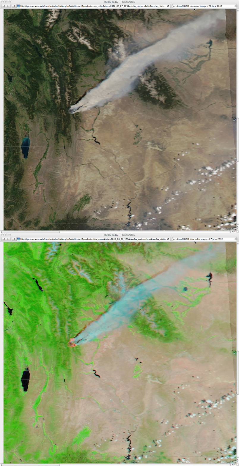
250-meter resolution MODIS true-color and false-color Red/Green/Blue (RGB) images from the SSEC MODIS Today site (below) showed greater detail of the thick smoke plume passing over the Wind River Range, as well as the large “hot spots” (pink color enhancement on the false-color image) associated with the actively burning fires.
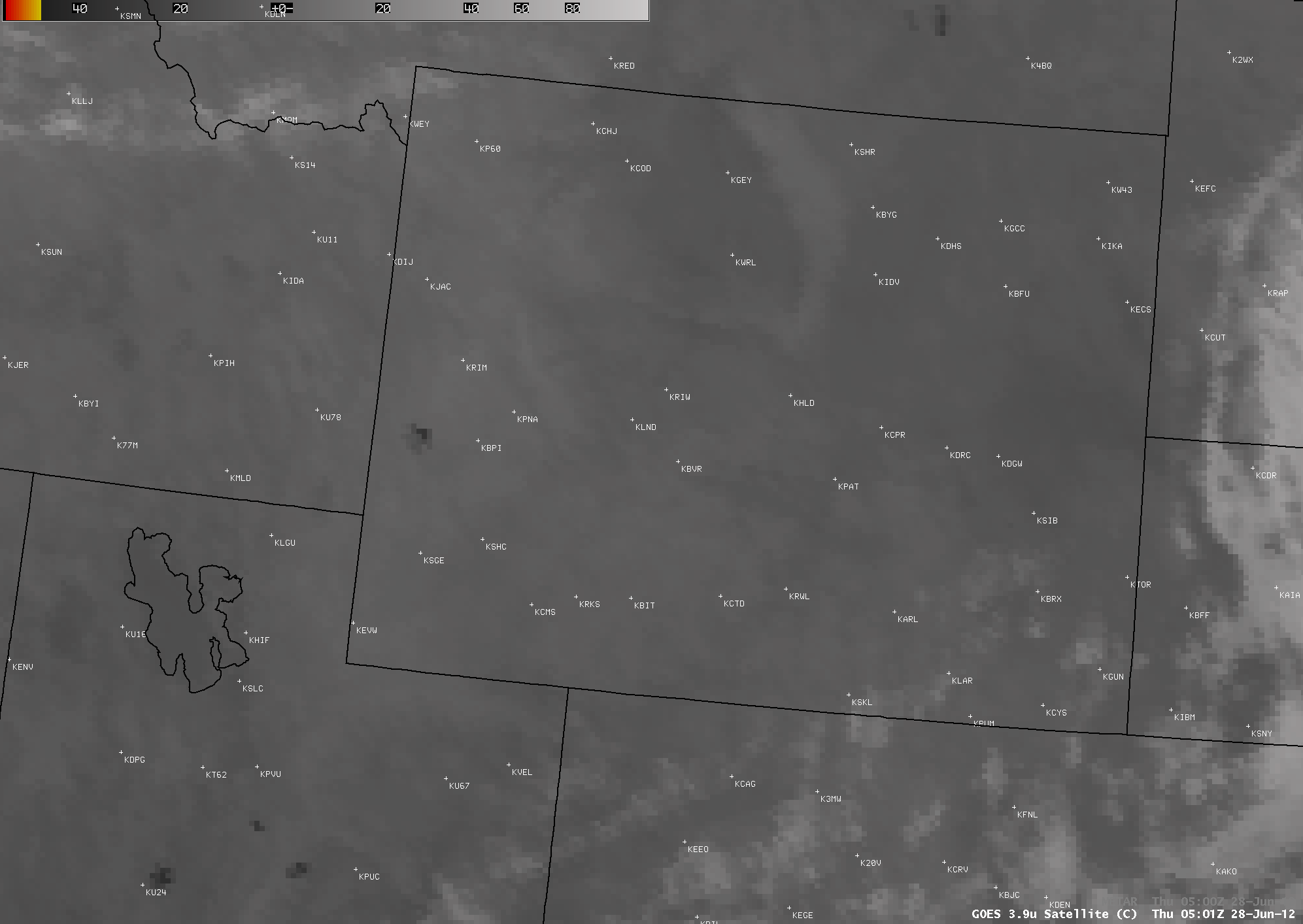
AWIPS images of 4-km resolution GOES-13 3.9 µm shortwave IR data (below; click image to play animation) showed the hot spots associated with some of the larger fires in Utah, Wyoming, and Montana as they burned through the following night.
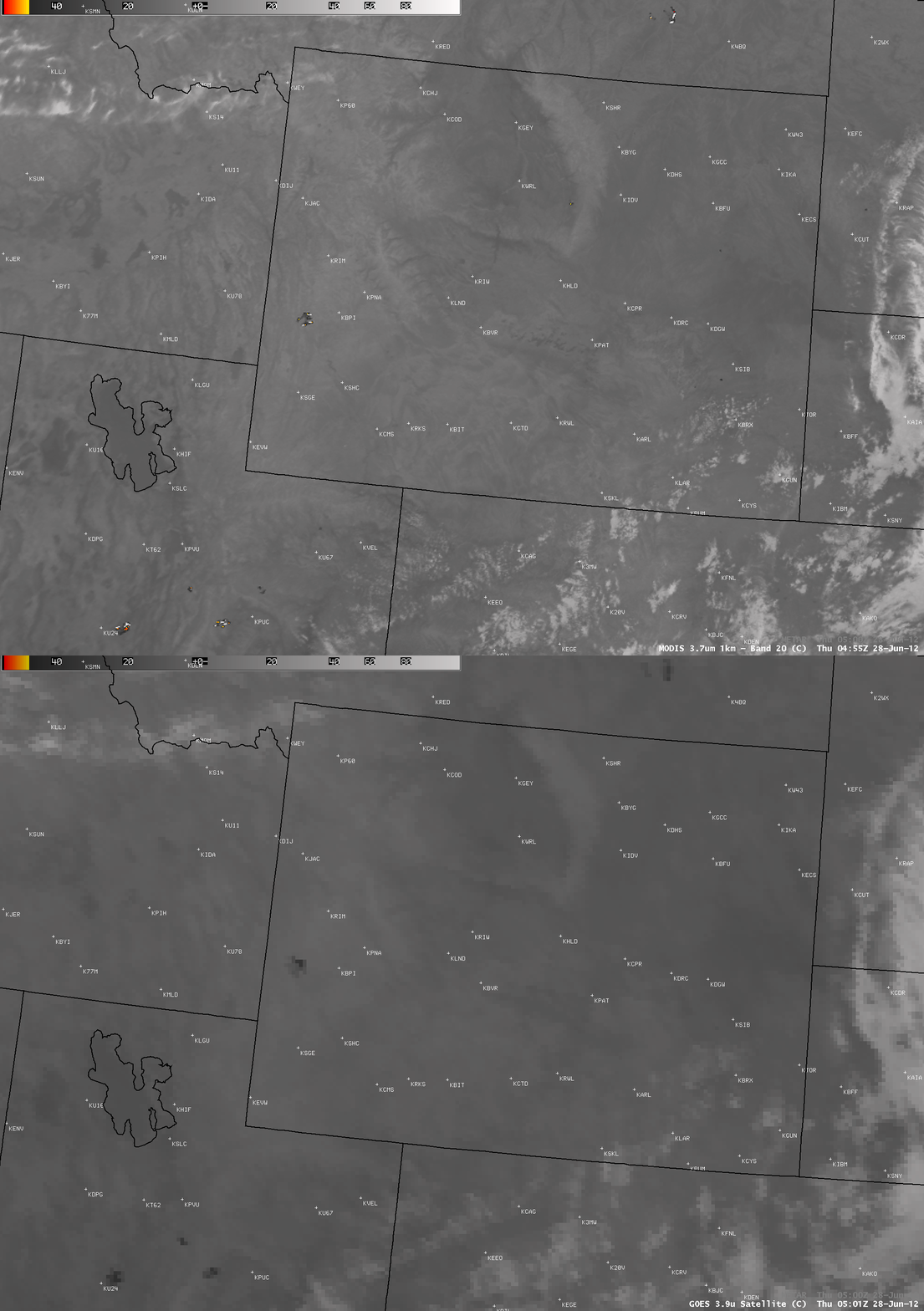
A comparison of a 4-km resolution GOES-13 3.9 µm shortwave IR image with the corresponding 1-km resolution MODIS 3.7 µm shortwave IR image (below) demonstrated the advantage of higher spatial resolution for detecting the heat signatures from the smaller fires, as well as more accurately locating the boundaries of the larger fire complexes. On the MODIS image, some of the pixel IR brightness temperatures were so hot that they “wrapped around” to the cold end of the temperature scale, and appeared white.
On the following morning of 28 June, GOES-15 0.63 µm visible channel images (below; click image to play animation) showed the large areal coverage of the smoke, which had moved as far east as the Great Lakes region. An HD version of this GOES-15 visible image animation is available here, along with a close-up version centered on the western Wyoming fire which showed filaments of smoke (which had settled into the valleys overnight) becoming mixed and ventilated upward into the boundary layer as daytime heating and surface winds increased during the morning hours.


