GOES-15 is operational once again
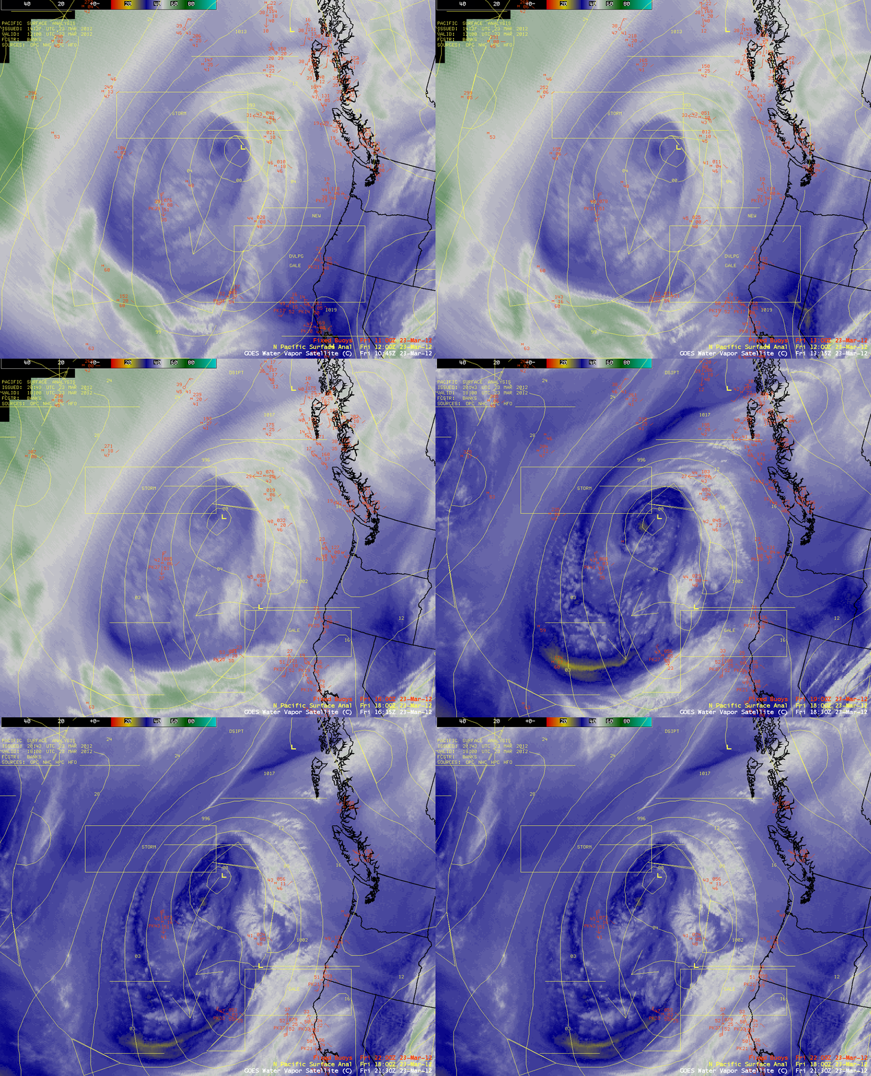
GOES-15 was restored to operational status mid-day on 23 March 2012 (after a satellite outage that began after 20:30 UTC on 21 March). Using AWIPS, a sequence of GOES-13 6.5 µm water vapor channel images early in the day, followed by the return of GOES-15 6.5 µm water vapor channel images (above) showed the dramatic improvement in the appearance of features associated with a large mid-latitude cyclone over the East Pacific Ocean. This cyclone was producing Storm Force winds over the open waters of the Pacific, as well as Gale Force winds off the coasts of California and Oregon.
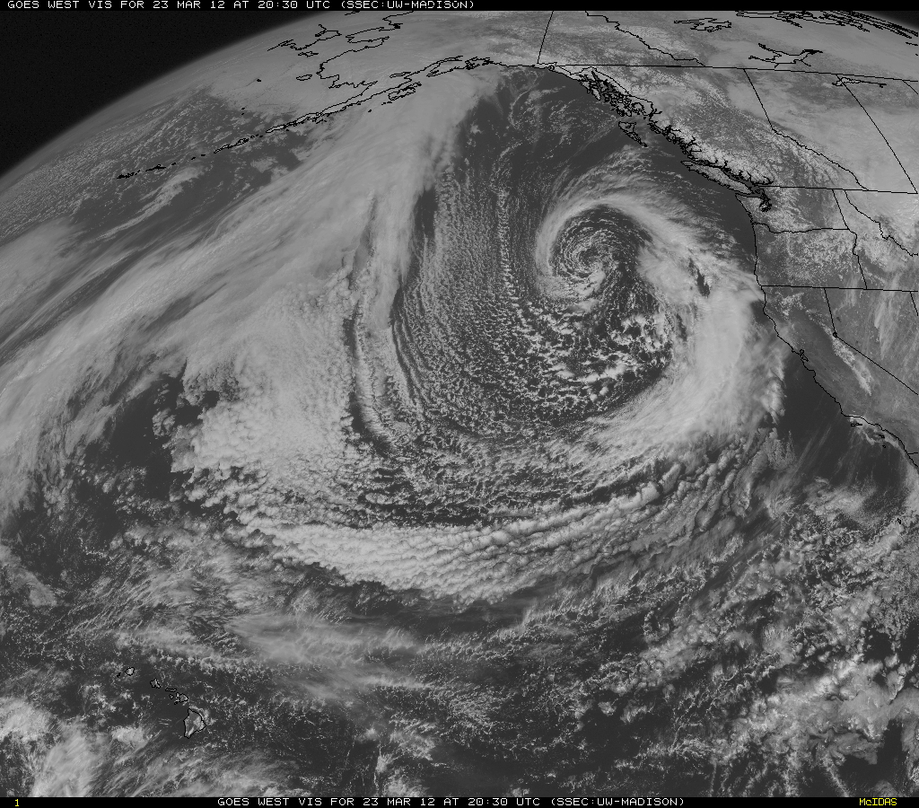
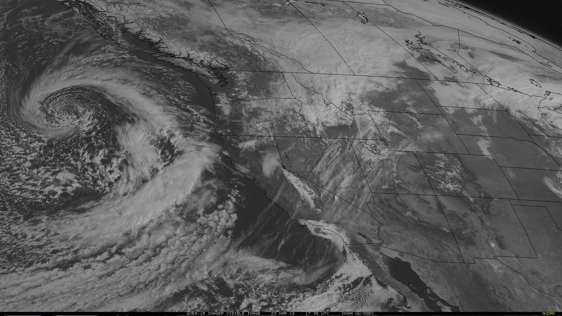
McIDAS images of GOES-15 0.63 µm visible channel data (below) portrayed the large size of this storm system.
Shown below is an HD-format version of an animation of GOES-15 0.63 µm visible channel images (courtesy of Tim Schmit, NOAA/ASPB/CIMSS).


