Small-scale vortex over the tropical Atlantic Ocean
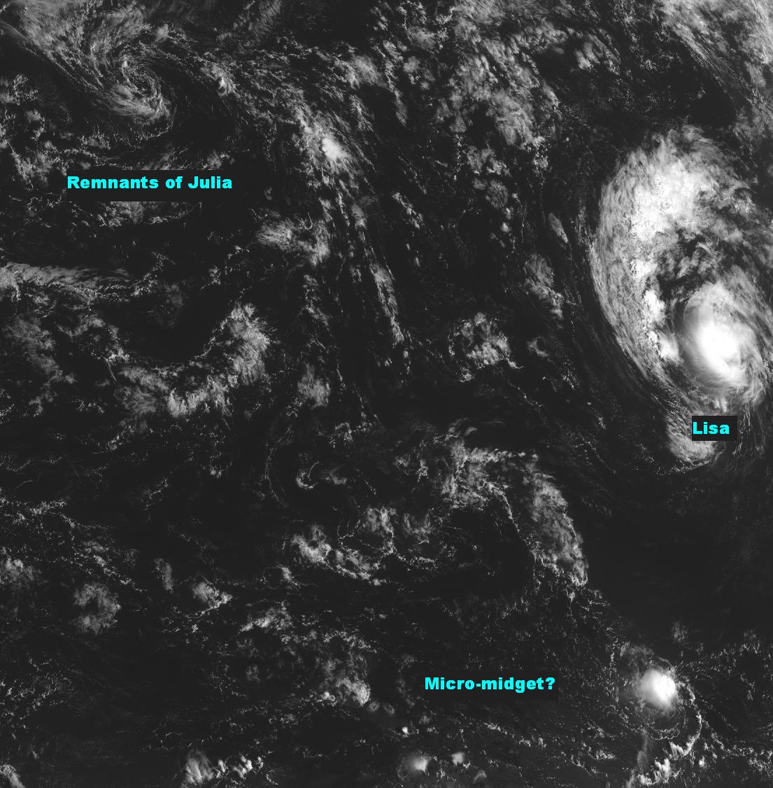
Tony Cristaldi (National Weather Service Forecast Office in Melbourne, Florida) sent the following email (with the attached GOES-13 visible image shown above):
There is a very small cyclonic swirl to the southwest of Lisa near 12N 35W, that has been firing off central convection since Friday afternoon. Now, one wouldn’t expect a feature of this magnitude to be carried operationally as a TC, since these features are often times transient, being very vulnerable to even modest amounts of low level deformation and mid of upper level wind shear. Nevertheless, since it has persisted since early this morning, I thought I’d pose a couple questions: 1) Looking at visible imagery, does it appear that convection is persisting due to a warm core TC process (CISK) on a very small scale, or a more traditional low level mesoscale convective process? 2) Would you call this feature a “micro-midget?”
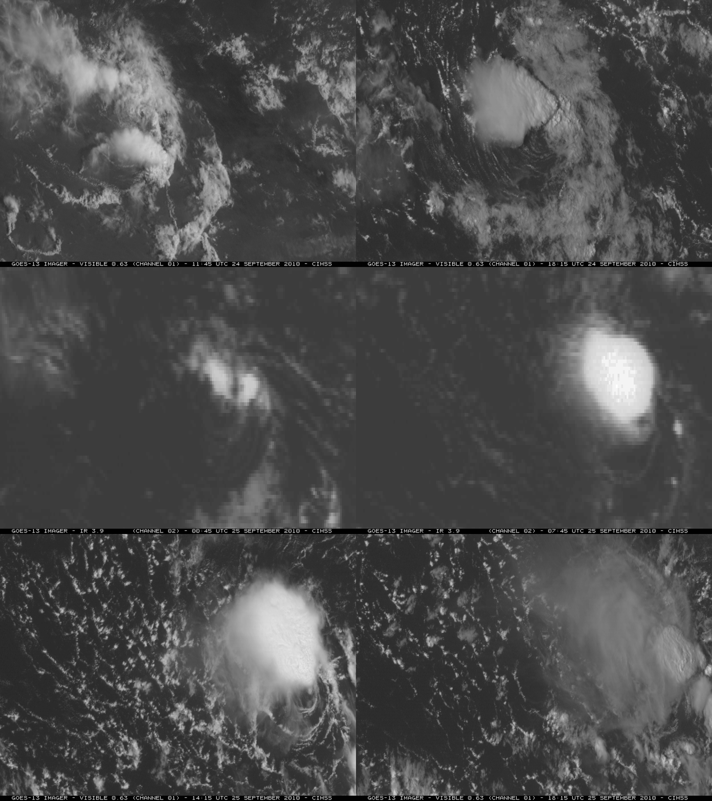
At his request, we created a 2-day animation covering the period 24-25 September 2010, using GOES-13 0.63 µm visible images during the daytime and GOES-13 3.9 µm shortwave IR images at night (below). The low-level “swirl” appeared to be propagating southeastward, and it was indeed firing off some impressive convective bursts (with a few cloud top IR brightness temperature values as cold as -70º C).
Not quite sure exactly what to call it…but thanks to Tony for bringing this interesting feature to our attention!


