Tropical Storm Hermine
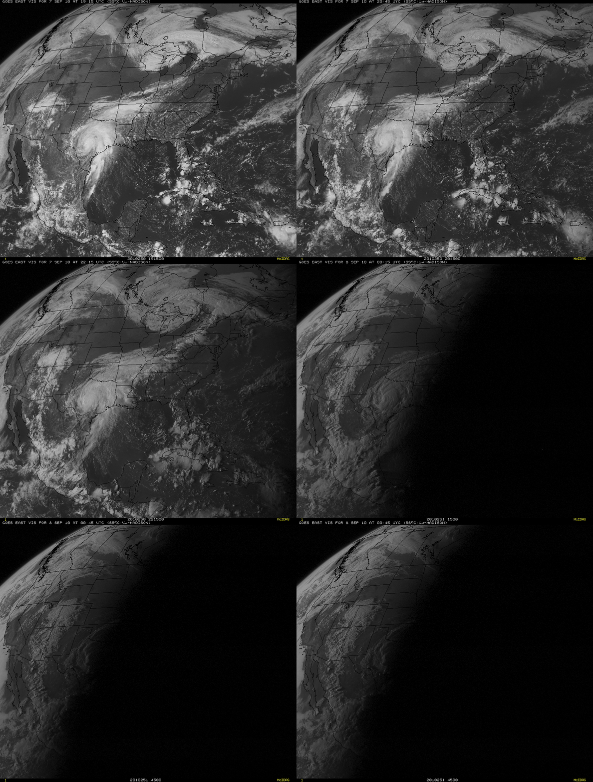
GOES-13 0.63 µm visible images (above) showed the large circulation of Tropical Storm Hermine as it moved inland across Texas during the day on 07 September 2010.
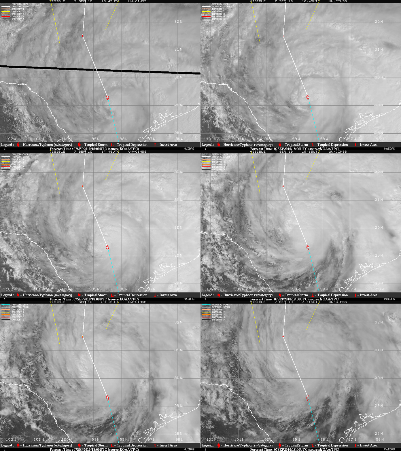
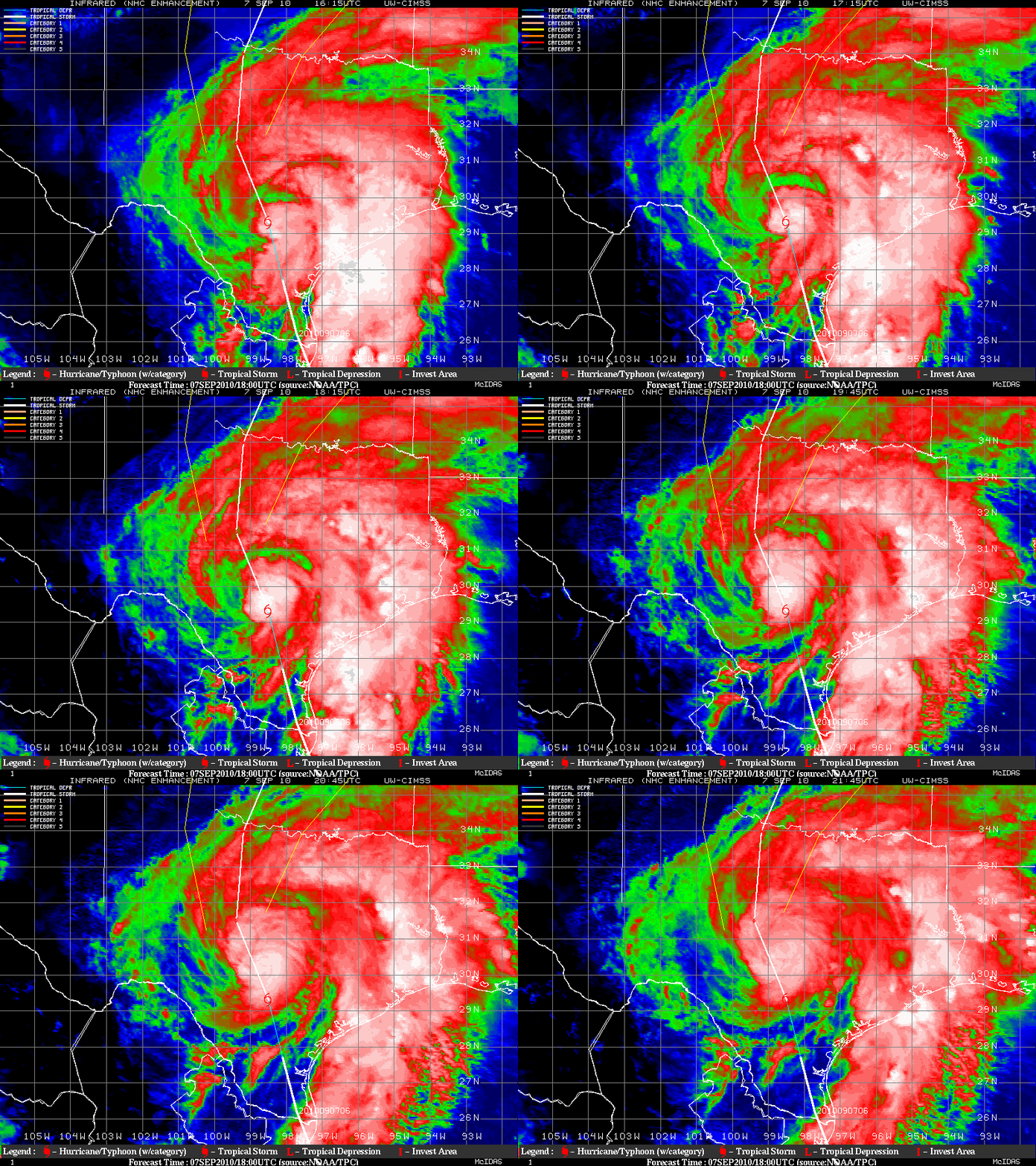
A closer view of the well-defined circulation of Hermine was available using GOES-13 0.63 µm visible images (above) and GOES-13 10.7 µm IR images (below) from the CIMSS Tropical Cyclones site.
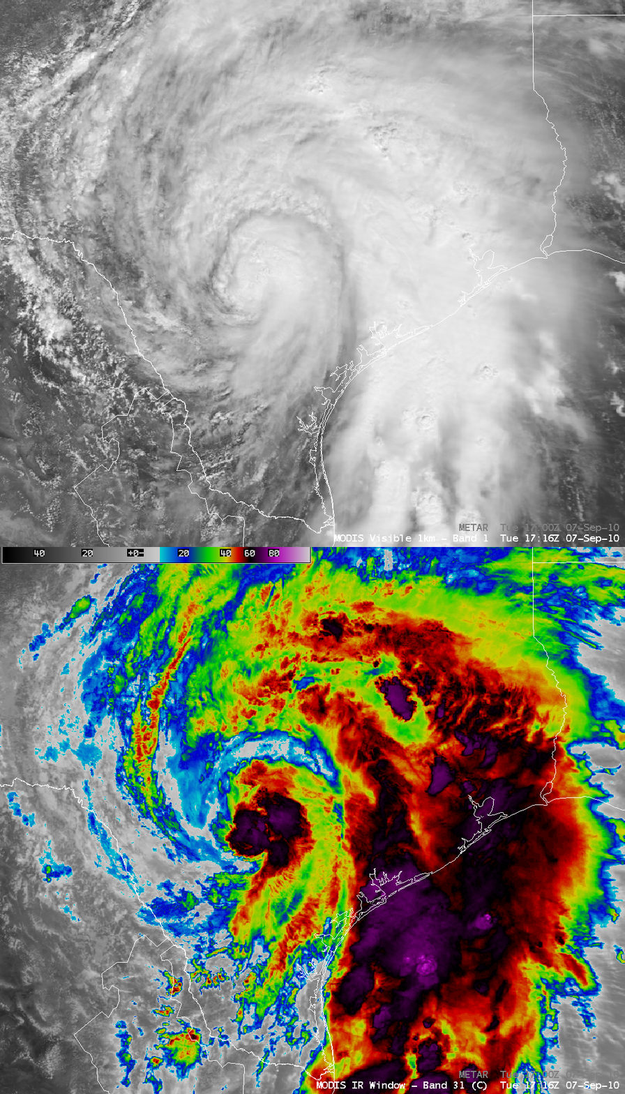
AWIPS images of the 1-km resolution MODIS 0.65 µm visible channel and the MODIS 11.0 µm IR channel data (below) showed Tropical Storm Hermine at 17:16 UTC (12:16 pm local time). The IR image depicted widespread areas with cloud top brightness temperatures of -75 º C to -85º C (purple color enhancement) around both the center of the storm and also the intense convective rain bands to the east. Very heavy rainfall amounts of 10-13 inches resulted from in inland passage of Hermine.


