Atlantic Tropical Invest 90L
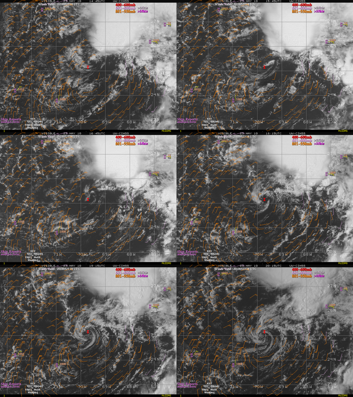
An animation of GOES-13 visible images from the CIMSS Tropical Cyclones site (above) showed the development of a discrete low-level cyclonic circulation associated with the first Atlantic Basin tropical cyclone “Invest” of the season on 23 May 2010. An overlay of lower-tropospheric atmospheric motion vectors (along with a handful of ship reports) also showed a broad cyclonic circulation around this developing cloud feature.
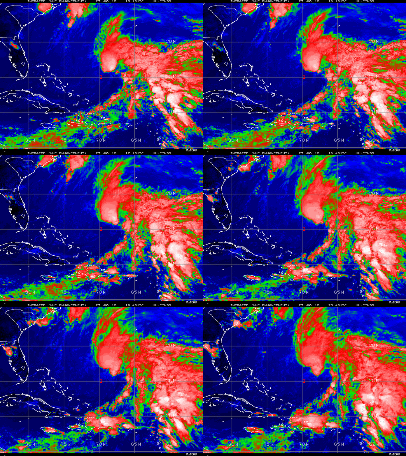
GOES-13 IR images (below) showed that there were some large clusters of cold-topped convection located off to the northeast, but this deep convection did not appear to be directly related to the developing low-level cyclonic circulation seen on visible imagery.
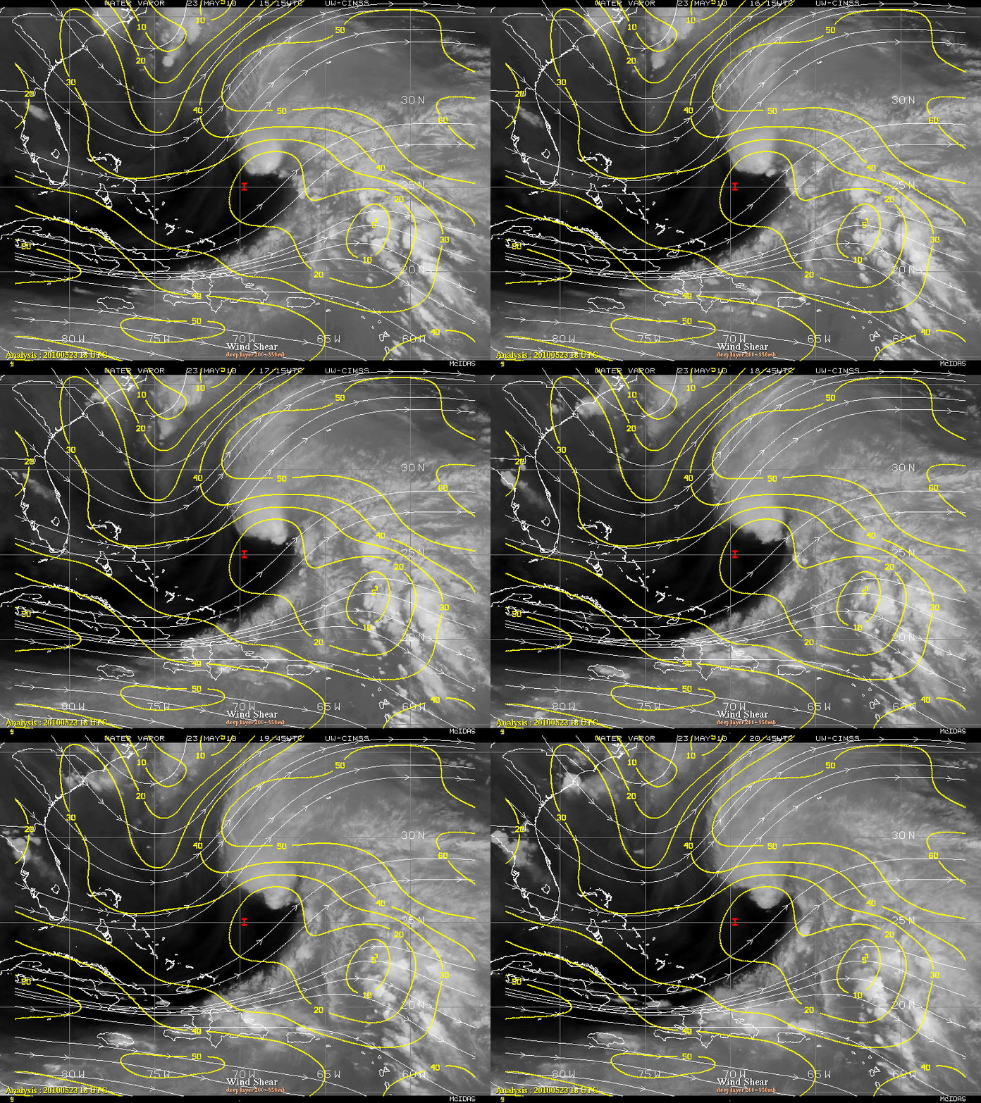
GOES-13 water vapor imagery with an overlay of deep layer (850-200 hPa) wind shear (below) showed 2 factors present that were unfavorable for the rapid intensification of Invest 90L: very dry air aloft moving in from the west, along with increasing values of wind shear — however, model guidance suggested that there was a small chance that this system could eventually develop into a subtropical cyclone.


