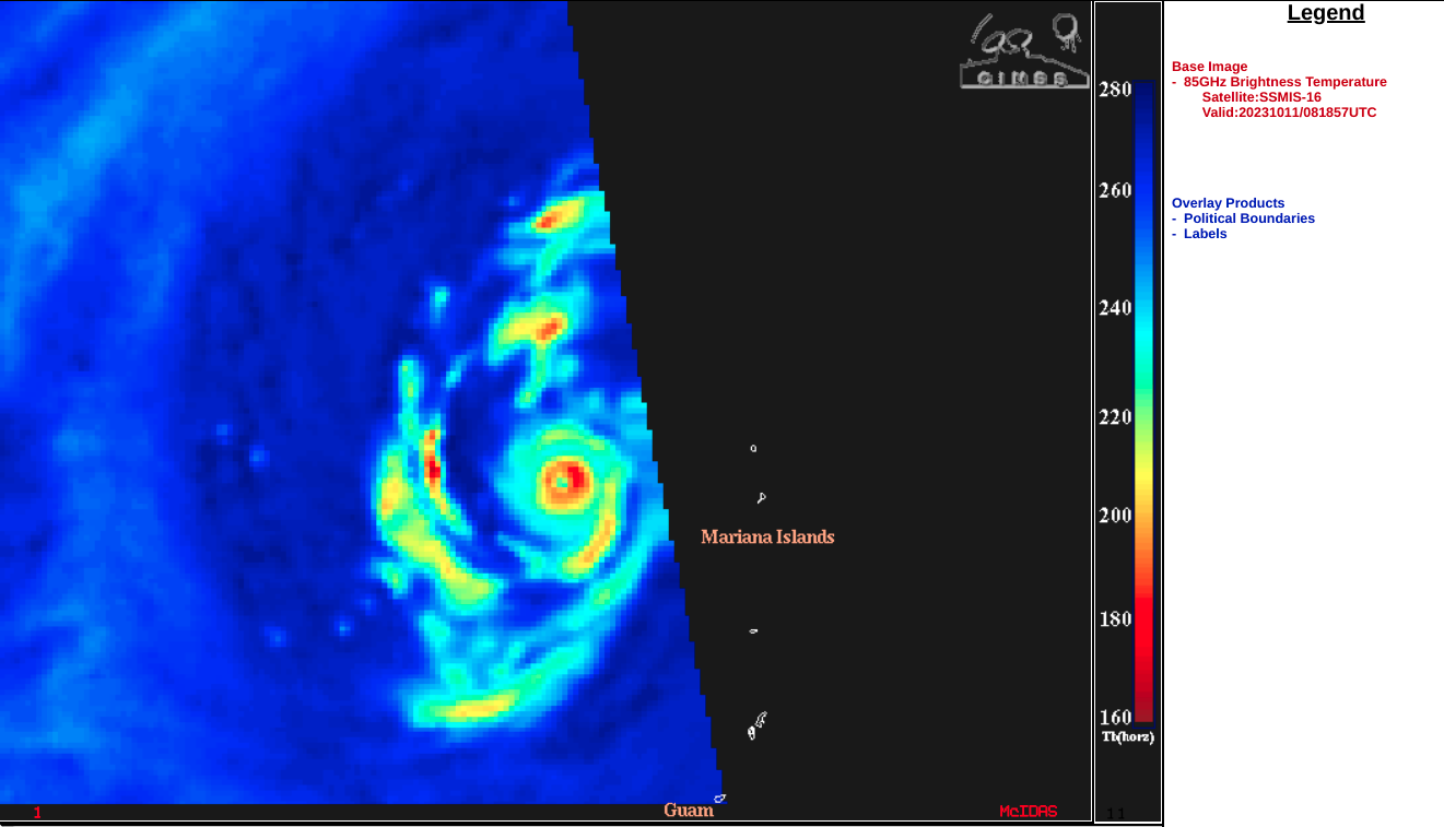
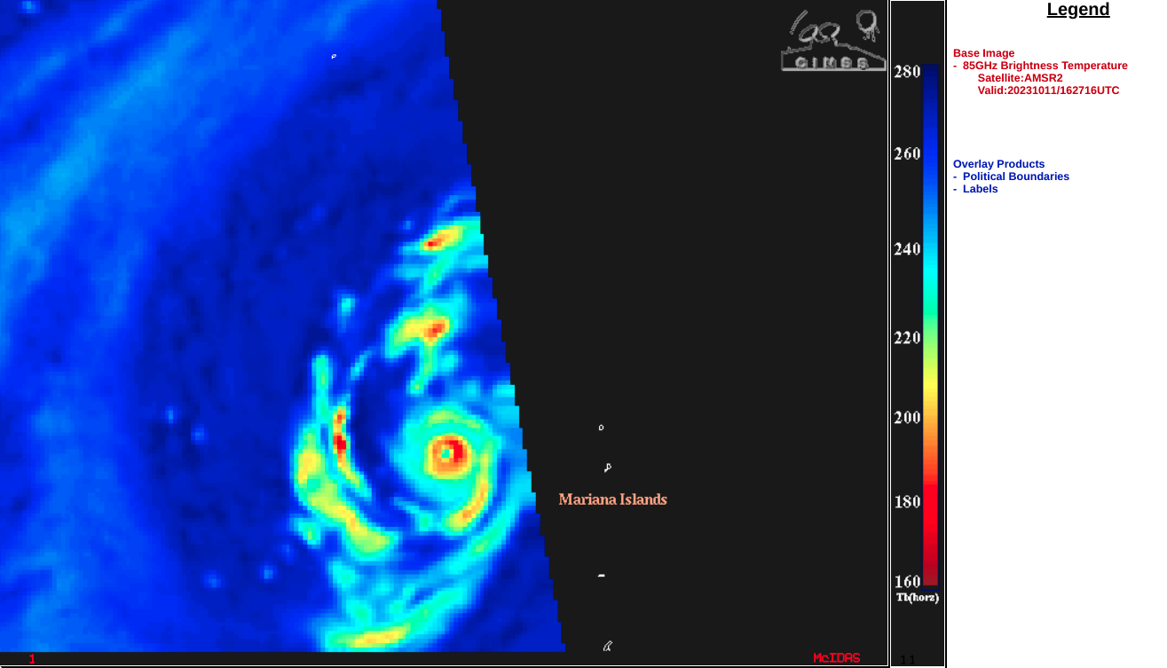
Super Typhoon Bolaven reaches Category 5 intensity
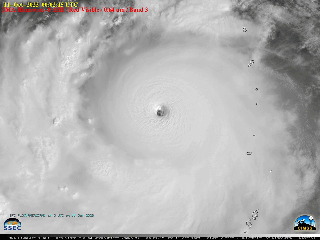
JMA Himawari-9 Red Visible (0.64 µm) images, from 2012 UTC on 10 October to 0752 UTC on 11 October [click to play animated GIF | MP4]
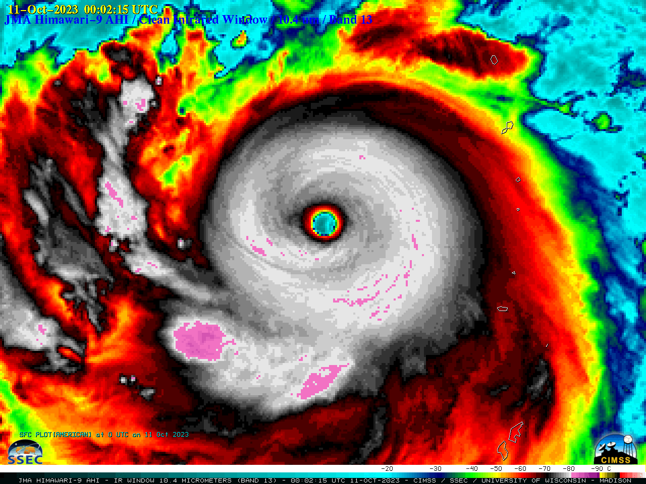
JMA Himawari-9 Clean Infrared Window (10.4 µm) images, from 2012 UTC on 10 October to 0752 UTC on 11 October [click to play animated GIF | MP4]
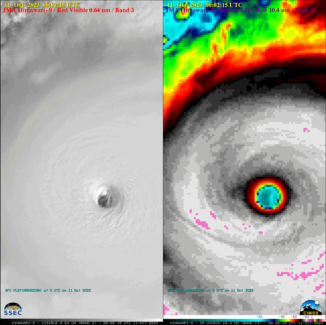
JMA Himawari-9 Red Visible (0.64 µm, left) and Clean Infrared Window (10.4 µm, right) images, from 2102 UTC on 10 October to 0702 UTC on 11 October [click to play animated GIF | MP4]
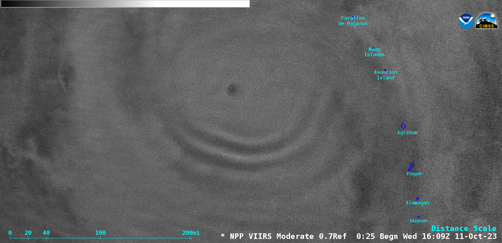
A noctrnal Suomi-NPP VIIRS Day/Night Band (0.7 µm) image valid at 1647 UTC (below) showed a pronounced packet of mesospheric airglow waves (reference) propagating southward away from the eye of Bolaven.


