Tropical Storm Mawar in the West Pacific Ocean

JMA Himawari-9″Clean” Infrared Window (10.4 µm) images [click to play animated GIF | MP4]
Himawari-9 Infrared Window (11.2 µm) images with an overlay of deep-layer wind shear at 1800 UTC from the CIMSS Tropical Cyclones site (below) indicated that Mawar was moving into an environment of lower shear, which favored a trend of continued intensification.
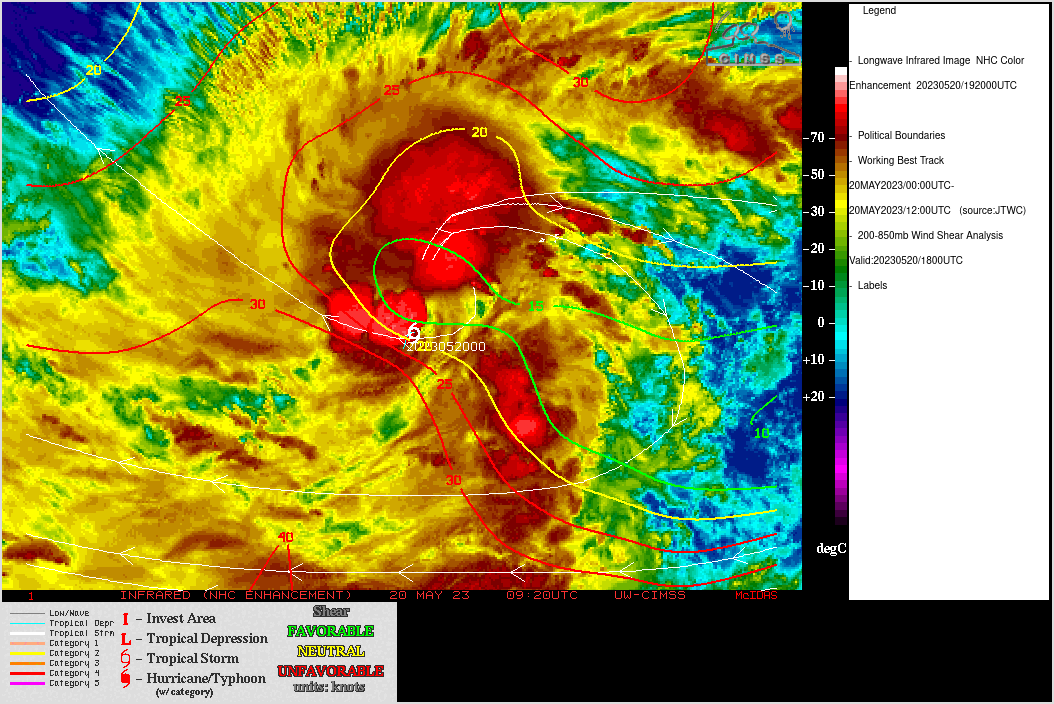
Himawari-9 Infrared Window (11.2 µm) images, with an overlay of deep-layer wind shear at 1800 UTC [click to enlarge]