SAR Observations near the Samoan Islands, part II
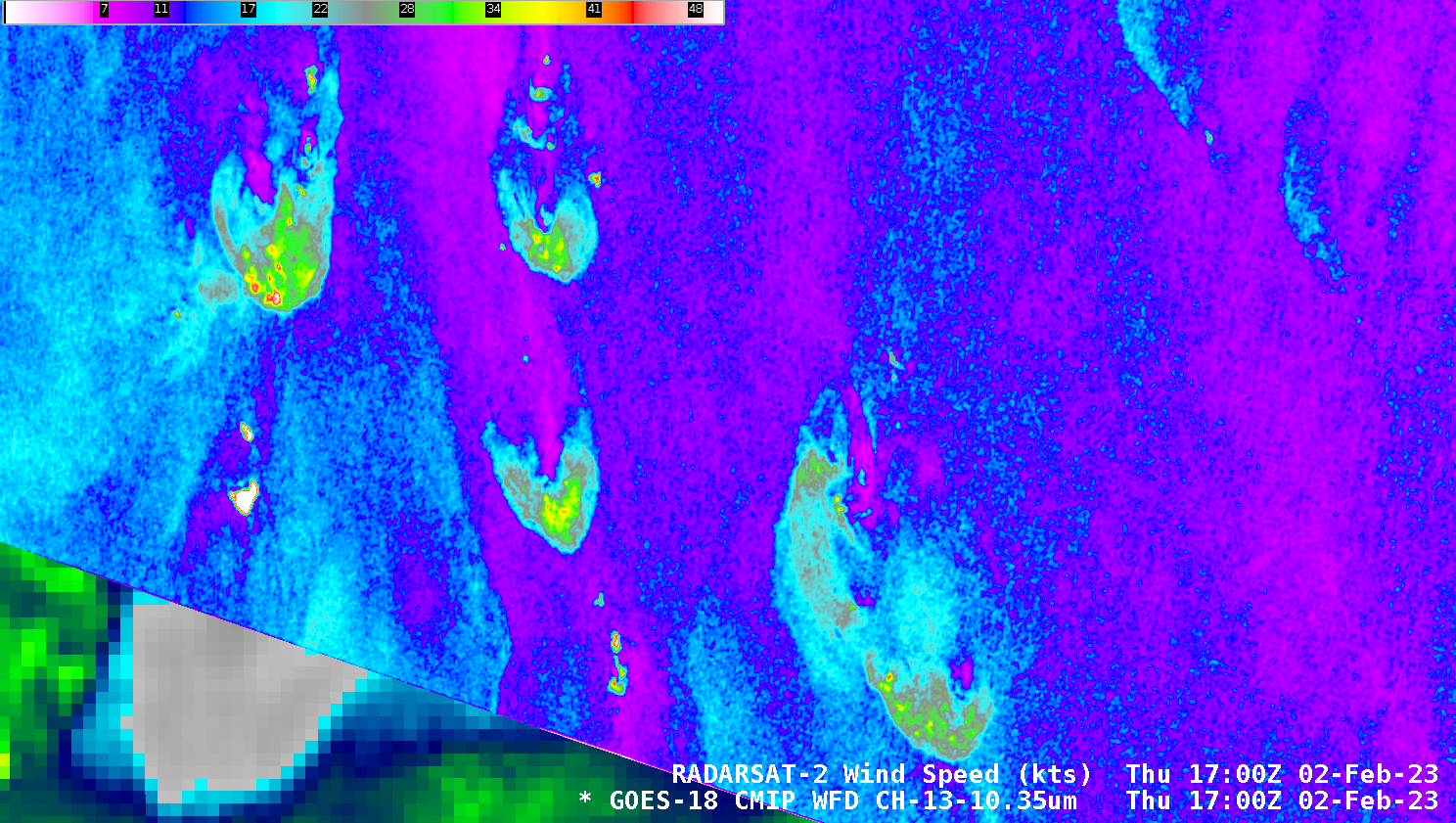
As noted in the past blog post, the NWS Water Surface Conditions / Synthetic Aperture Radar Science Team has arranged for observations over the Samoan Islands on 9 dates between 30 January 2023 and 5 March 2023 (imagery is available online here). The image above shows both the derived winds and the Normalized Radar Cross Section (NRCS) from 0556 UTC on 2 February 2023; Derived winds and NRCS at 1700 UTC on 2 February 2023 are shown below. At both times, north or northeast winds are indicated. (Advanced Scatterometer — ASCAT — winds from the descending pass of MetopC at ca. 2030 UTC on 2 February 2023 show the same wind direction).
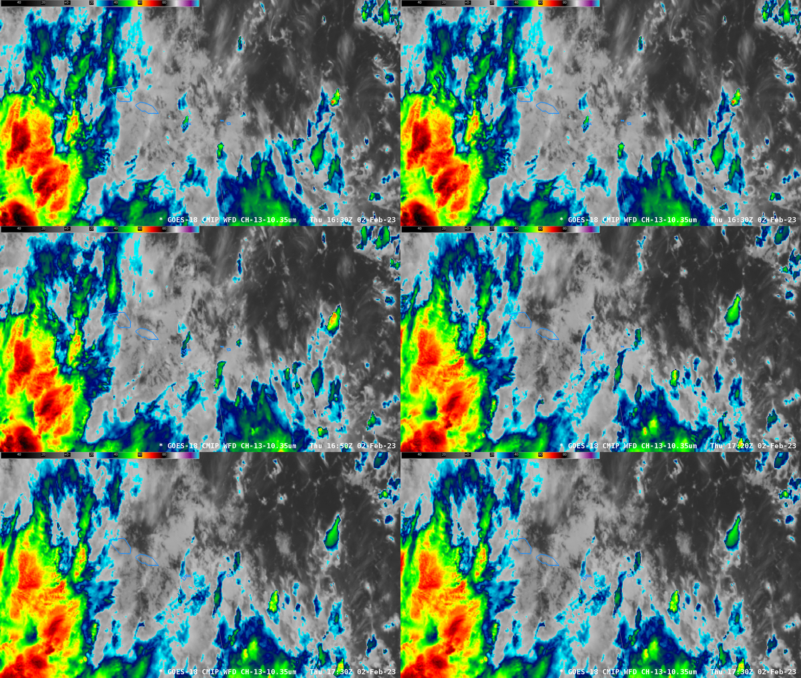
GOES-18 Clean Window infrared imagery (Band 13, 10.3 µm) from 1630 to 1730 UTC, below, (bracketing the SAR observation at 1700 UTC), shows cloud motions from south to north, suggesting considerable shear over the region. (This 1800 UTC/2 February 2023 shear analysis from the SSEC/CIMSS Tropical website shows the strong southwesterly shear).
The image below overlays RADARSAT-2 winds on top of the GOES-18 Clean window imagery. This animation shows the infrared imagery with and without the wind analysis (with two different enhancements), and one thing is apparent: it’s very difficult to pair the wind perturbations with brightness temperature features in the GOES-18 imagery!
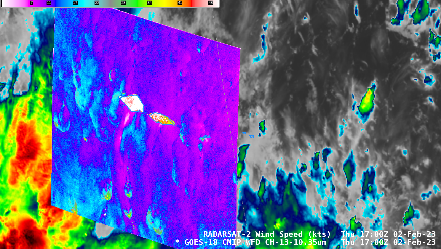
The difficulty in attributing a Band 13 feature to the wind field features is also shown in the zoomed-in scene shown in the slider comparison below.
Some of the stronger SAR winds in the convective storms in the southern part of this scene (shown in the comparison above and in the image below) likely arise because of ice within convective clouds. Such ice strongly reflects microwave energy from the SAR satellite and that strong signal is misinterpreted as a strong wind return from the ocean surface. The NRCS imagery from that time will show a diffuse/feathery structure in regions where ice is present in the clouds.
Should you believe the winds over the ocean? Yes. This study compared SAR winds to ocean buoys in the Atlantic. See in particular Figure 2 in Section 3, also available here.

