Buck Fire in North Texas

GOES-16 True Color RGB images [click to play animated GIF | MP4]
1-minute Mesoscale Domain Sector GOES-16 (GOES-East) True Color RGB images created using Geo2Grid (above) showed a distinct smoke plume associated with the Buck Fire in North Texas on 28 October 2021. The fire spread rapidly toward the southeast, driven by strong northwesterly winds gusting in excess of 40 knots. Note that the brighter white smoke plume was embedded within broader plumes of blowing dust (shades tan to light brown).
In a sequence of 1-minute GOES-16 “Red” Visible (0.64 µm) and Shortwave Infrared (3.9 µm) images along with 5-minute Fire Temperature and Fire Power derived products — all with an overlay of 5-minute Visible Derived Motion Winds (below), the maximum surface 3.9 µm brightness temperature sensed with this fire was 138.7ºC (which is the saturation temperature for the ABI Band 7 detectors), the peak Fire Temperature exceeded 2900 K and the Fire Power reached 1800 MW (the Fire Temperature and Fire Power derived products are components of the GOES Fire Detection and Characterization Algorithm FDCA). Derived Motion Winds tracked the smoke plume moving southeastward at speeds up to 49 knots.

GOES-16 Visible, Shortwave Infrared, Fire Temperature, and Fire Power with an overlay of Derived Motion Winds [click to play animated GIF | MP4]
===== 29 October Update =====

NOAA-20 VIIRS DayNight Band image at 0816 UTC [click to enlarge]
During the subsequent nighttime hours, the bright glow of the Buck Fire could be seen on a NOAA-20 VIIRS Day/Night Band image at 0816 UTC or 3:16 am CDT, as viewed using RealEarth (above).
The fire continued to burn into the following day — and the burn scar could be seen in NOAA-20 VIIRS True Color and False Color images (below).
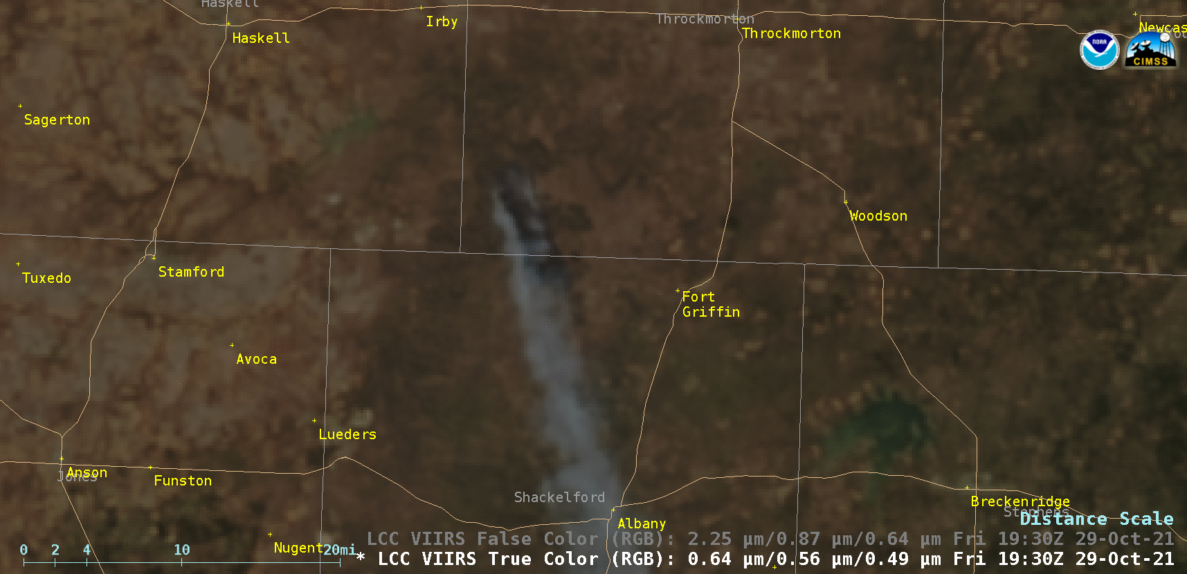
NOAA-20 VIIRS True Color and False Color RGB images [click to enlarge]
GOES-16 True Color RGB images (below) again displayed a long smoke plume that was transported southeastward.

GOES-16 True Color RGB images [click to play animated GIF | MP4]